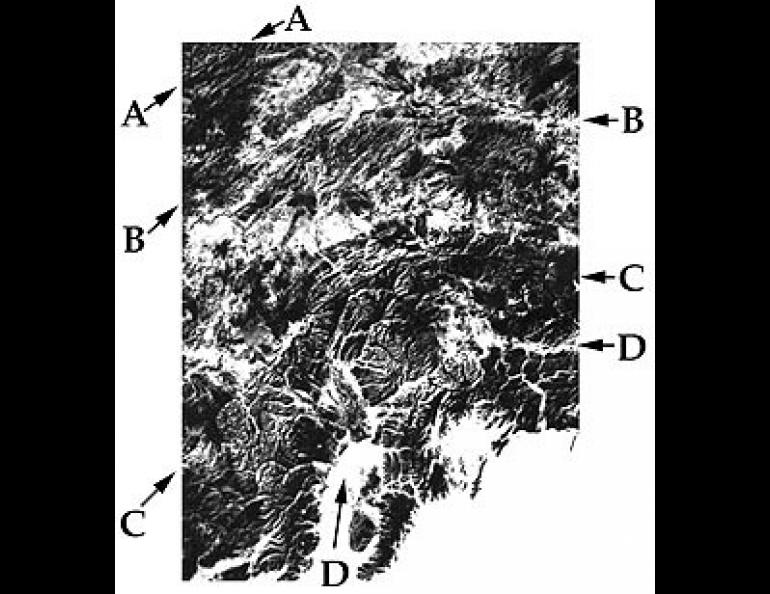
Alaska's Major Fault Systems
Most people have heard of California's San Andreas fault, but few are familiar with the the Denali fault in Alaska which, on a topographic scale, is even more impressive than the San Andreas. Some Alaskan geologists even take the view that the San Andreas fault is merely a southern extension of the Denali--an opinion not overly popular with geologists in California.
In fact, the Denali and San Andreas faults are only two members of a major fault system extending all along the west coast of North America and into the interior of Alaska. Along these faults, offset is occurring as the North Pacific Ocean floor gradually inches its way to the northwest, sliding and grinding against the continent as it does.
In Alaska and Yukon Territory in Canada, there are innumerable faults along which this movement--up to two inches a year--is shared. Movement along these faults occurs in much the same manner that movement would take place between individual cards in a deck if the top and bottom part of the deck are moved in opposite directions. In other words, the deck (and the state) are deformed a little at a time by displacement on each of the parallel interfaces represented by the faces of the cards and the faults. In the case of Alaska, each of the successively more southern "slice" of the state is moving a little more to the west each year than is the slice to its north.
This is reflected in the level of seismicity in areas bordering the faults. The southcentral part of the state produces the most earthquakes because of movement associated with the Castle Mountain and related faults. Moving into the Interior, one crosses the successively less seismically active Denali and Tintina faults, and finally the nearly dormant Kobuk fault which lies on the southern flank of the Brooks Range.
Over extended periods of time, the accumulated offset becomes substantial. On the basis of comparing similar rock types on both sides of the Denali fault in Canada and Alaska, scientists at the Geophysical Institute estimate that 240 miles (400 kilometers) of displacement has taken place over the past 60 million years.
It is probable that Mts. Hess, Deborah and Hayes, southwest of Delta Junction in the Alaska Range, once belonged to the same massif as Mt. McKinley. However, because they lie to the north of the Denali fault, while Mt. McKinley lies to the south, they have been widely separated over the years.


