Anchorage high-rise wired for motion
Over thousands of years, the toes of five glaciers have advanced and retreated over what is now the Anchorage bowl, leaving behind deposits of water-saturated clay. Upon that clay sit Anchorage’s largest buildings.
Large earthquakes can cause this soil to act like a liquid, which is why scientists recently outfitted the Robert W. Atwood state office building with one of the densest clusters of seismic instruments in the country.
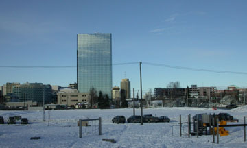
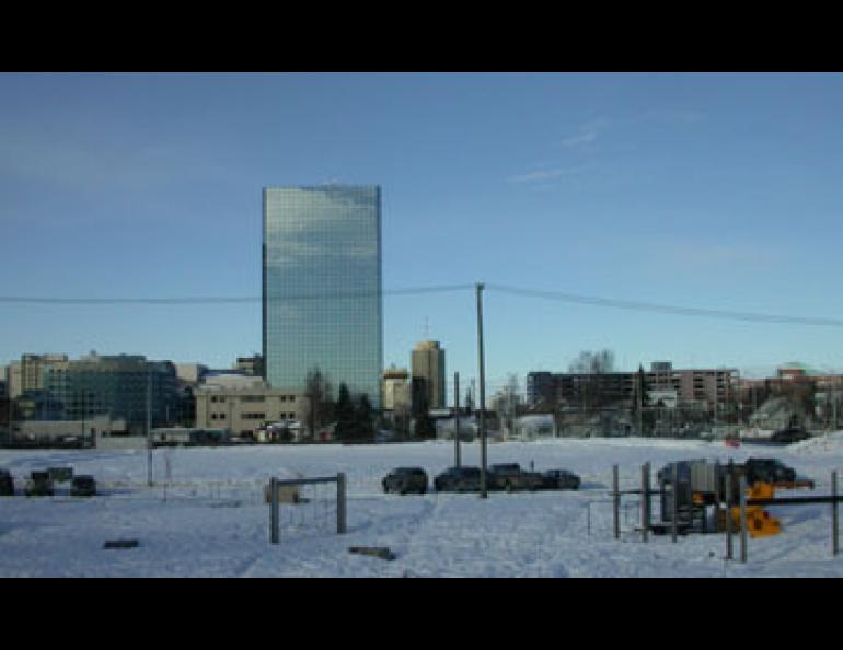
The Atwood building is a 20-story building in downtown Anchorage into which researchers have installed shake-detection devices in 10 locations scattered from the basement to the roof. Seismologist Utpal Dutta, a research associate with both the University of Alaska Anchorage and the University of Alaska Fairbanks’ Geophysical Institute, recently gave me a tour of the Atwood building and nearby Delaney Park, where six seismic instruments are buried in the soil to a depth of 200 feet.
“Here, we can monitor an earthquake event from 200 feet under the building to the 20th floor,” Dutta said. “We can find out how the building oscillates or torques during different types of earthquakes.”
With this combination of earthquake detectors seismologists and engineers will find out how earthquake shaking transfers from the soil to the building. As the researchers found a few years ago, all parts of Alaska’s largest city do not shake with the same intensity during an earthquake. The clay beneath much of downtown Anchorage, known as the Bootlegger Cove Formation, amplifies the vibrations of a large earthquake, while more consolidated soils in the hills east of the city are more stable.
“A downtown building will vibrate almost three times as much as a building on the hillside (during a large earthquake),” Dutta said.
Dutta knows this because he and colleagues Niren Biswas, a professor emeritus at the Geophysical Institute, and research associate Artak Martirosyan, have studied the readings from a network of more than 20 seismometers installed in the Anchorage area in 1995. After looking at the way strong-motion seismometers react to dozens of earthquakes, Biswas recommended that the city should adopt three different building standards to correspond with three different zones of soil movement in Anchorage.
“This section of Anchorage will be very dangerous in a large earthquake,” Biswas said while pointing to the part of Anchorage that juts into Cook Inlet.
The Atwood building sits on that dangerous section of Anchorage. With the new instruments spanning the building and buried at different depths in the soil nearby, the researchers hope to find out how to best engineer a building in Anchorage or in a similar location, like Tokyo or San Francisco.
Scientists and technicians installed six seismic instruments in Delaney Park boreholes in summer 2003, and finished mounting the instruments throughout the Atwood building on Dec. 14, 2003. The next day, an earthquake large enough to trigger the network struck—a magnitude 3.7 with its epicenter just 12 miles from downtown Anchorage.
Dutta said he did not feel the earthquake, which happened in the early morning hours, but he and his colleagues were able to use the data to find that the Atwood building is constructed a bit stiffer in the north-south direction than in the east-west direction.
The motion-sensitive Atwood building is an example of what the U.S. Geological Survey hopes to have at sites throughout the country that are prone to large earthquakes. Also planned for Anchorage is the seismic instrumentation of a bridge connecting the Port of Anchorage with the city.
After enough earthquakes rattle the Atwood building and the other seismic stations in the Anchorage bowl, USGS seismologists will create “ShakeMaps,” hazard maps generated during an earthquake that show emergency services workers what sections of the city shook with the most intensity.