Detective Work From The Sky
Viewing the earth from high above can tell us much about what is going on tectonically far below its surface. Landsat satellite imagery, which photographs sections of the earth from about 500 miles (926 km), is being used to locate and map the surficial expressions of geologic features such as faults, fractures, joints and bedding. Mapping these features may help target potential hydrocarbon occurrences and mineral deposits, and the findings are useful in analyzing regional structural trends. Landsat imagery is unsurpassed for the detection of these lineaments over large areas.
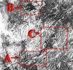
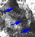
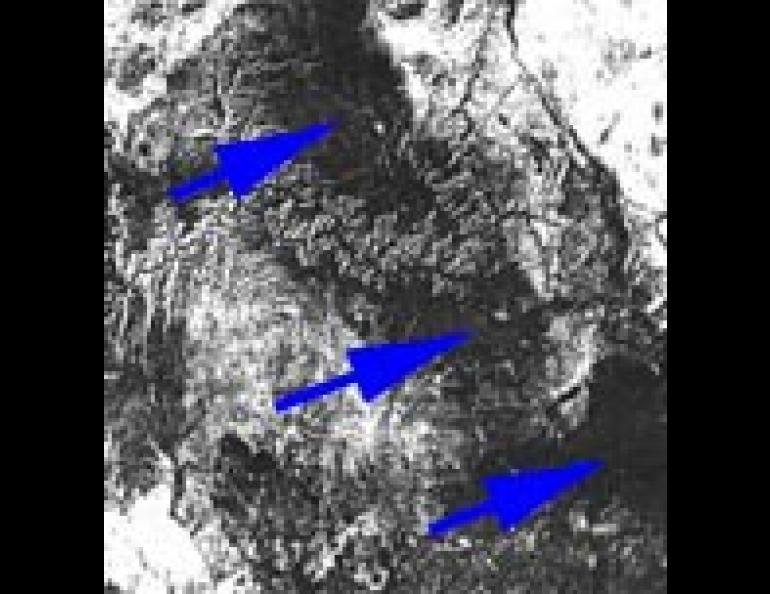
These Landsat-photographs illustrate---with some study---how this detective activity works. It covers an area about 100 miles wide and each shows tectonic features around two of America's most famous rivers; the Colorado and the Yukon.
Most of the faults in the photo of Arizona's Grand Canyon trend to the northeast. Most noticeable is one which crosses the canyon at right center and continues on to recross the canyon into the level area at the upper right. Another fault also trends to the northeast after merging from beneath the dark-colored lava flow at the lower right center (the line intersecting this from the northwest is a highway).
The Alaska photograph shows the Rampart Canyon on the Yukon River. The Tanana River joins the Yukon at Tanana, near the bottom center of the scene. Most of the structural grain in the Rampart Canyon area is dominated by a sequence of lineaments oriented in a north-south direction across the center of the image. These are crossed in the upper right third of the image by a large-scale bedding feature which enters the scene from the northeast.
The linear features in this area result for the most part from erosion which has taken place along joints or weakened areas of the crust. It is almost certain that some of these are tectonically active--that is, they mark areas where crustal deformation is taking place.
On October 29, 1968, a magnitude 6.5 earthquake occurred near the village of Rampart on the Yukon River. Studies since that time have shown that the earthquake resulted from slippage at a depth of about 15 miles which occurred along a line visible at the surface as Minook Creek Valley. This is the deeply incised lineament which crosses the mountains between the Tanana and Yukon Rivers at right center. Although offset occurred during the earthquake which moved the land to the east of Minook Creek northward, it did not cut the surface.
Until the time of the 1968 earthquake, the Minook Creek lineament had not been regarded as being an active tectonic feature. The freshness of its appearance on Landsat imagery is a further indication that it is.

