Finding Fault Not Routine for Geologists
On November 10, 2002, Geologists Peter Haeussler and Patty Craw experienced geological serendipity.
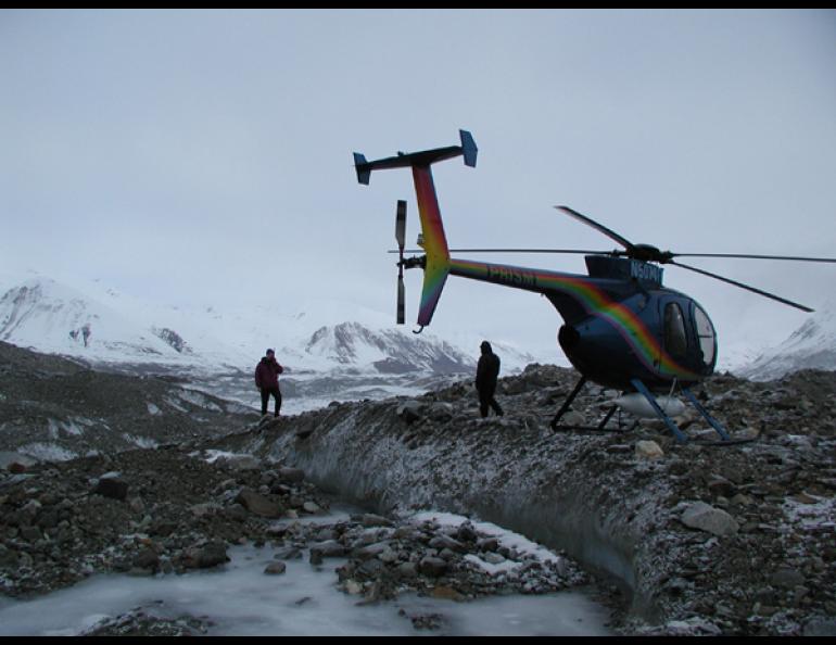
Based out of Paxson Lodge, they were taking day trips together by helicopter into the Alaska Range to measure the spectacular changes wrought by the Denali fault earthquake of November 3, 2002. Seven days later, while flying toward the Denali fault, they ran into low clouds that blocked the mountain passes. Changing plans in mid-air, they turned around and searched valleys south of the Denali fault.
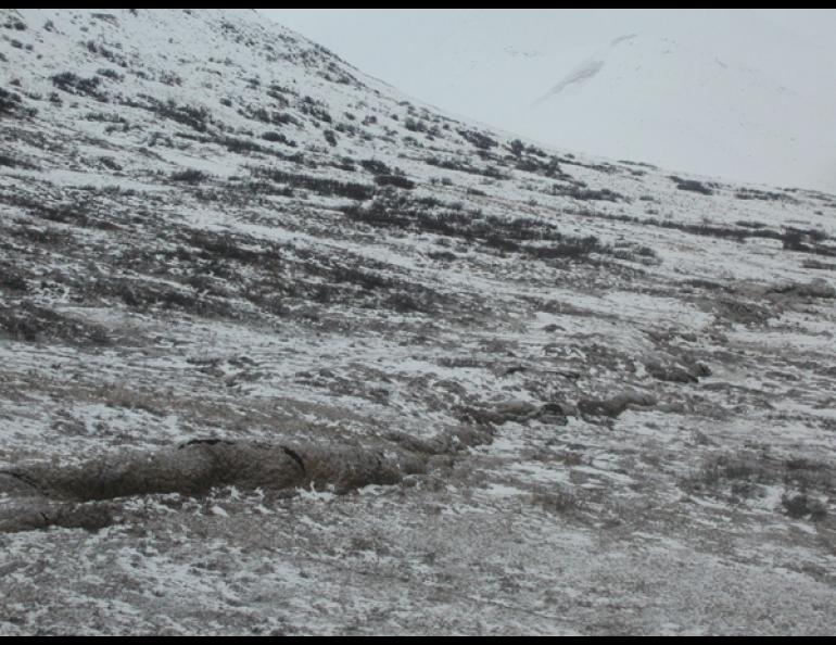
While flying above Susitna Glacier, Haeussler and Craw were astonished to see a long crack on its icy face. They had discovered a fault.
For decades, Alaska geologists have mapped faults-weak points in Earth's crust that allow the ground to move during earthquakes-but the Susitna Glacier fault stayed hidden until the magnitude 7.9 earthquake of November 3 exposed it.
"To discover an unmapped fault that caused a surface rupture is amazing," said Craw, who works for the Alaska Division of Geological & Geophysical Surveys in Fairbanks. Haeussler, a geologist with the U.S. Geological Survey in Anchorage, had invited Craw along as a state representative to survey the effects of the earthquake.
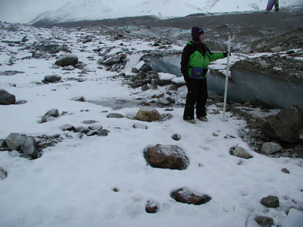
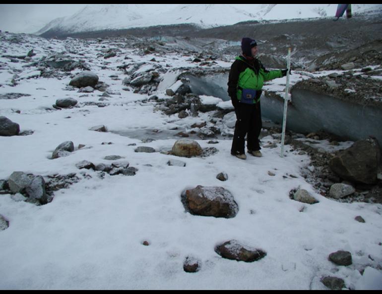
When the helicopter pilot landed on the glacier, Haeussler and Craw scrambled to wedges of fresh ice jutting from the glacier. The exposed ice was the result of thrust faulting, where one massive body of rock shoves itself over the other as if pushed by a giant bulldozer. The thrusting of the Susitna Glacier fault differs from the motion along the Denali fault. The Denali fault is known as a strike-slip fault with right-lateral motion, which means that if a person stood facing the Denali fault during the November 3 earthquake, the ground on the other side of the fault moved to the right.
Haeussler used a satellite phone to inform Alaska seismologists about the newly discovered thrust fault, and then he and Craw measured the displacement of the ice wedges. Aftershocks from the earthquake shook them as they worked.
"We heard booms that sounded like artillery, only lower, and then the ground would shake," Haeussler said. "I'd never had that experience before. I kind of enjoyed it."
After boarding the helicopter, Haeussler and Craw tracked the fault trace-cracks on the ice and ground surface that revealed movement along the fault-for about 20 kilometers (13 miles) until the helicopter ran low on fuel. The next day, they were able to map more of the fault trace, which totaled 49 kilometers (30 miles).
Haeussler believes the fault no one knew was there triggered the entire Denali fault earthquake.
As Haeussler explained it, a colossal block of Earth's crust squeezed by other rocks for thousands of years finally gave way at the Susitna Glacier fault, pushing rock, dirt, tundra, and glacier ice southeast. Energy released by the Susitna Glacier fault traveled northward to the Denali fault, which arcs across central Alaska from Bristol Bay to Canada.
When the energy of the earthquake reached the Denali fault, a ground rupture "zipped from west to east about 215 kilometers on the Denali fault, then traveled 65 kilometers on the Totschunda fault before it stopped," Haeussler said. The ground fracture moved at a speed of about three kilometers per second.
The Denali fault earthquake is one of several large earthquakes worldwide that have involved the failure of more than one major fault. Haeussler said the Susitna Glacier fault escaped detection by remaining quiet for a long time.
"This was probably the first time this fault has moved in the last 10,000 years," he said.
Both Haeussler and Craw are grateful the weather was not as nice as they had hoped when they woke up on the morning of November 10, a day that will be hard to top.
"I think I've experienced the highlight of my geology career," Craw said.
"That was probably the most exhilarating day of fieldwork I've ever done," Haeussler said.