High-Pressure System Keeps Alaska Warm and Dry
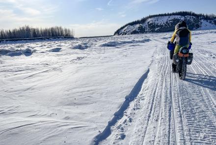
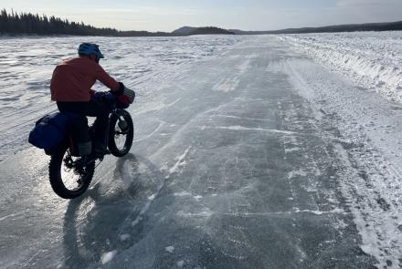
Fairbanks--As I was moving slowly northward two days ago, I stopped at the North Pole McDonald's to offset the deficiencies of my hiking diet. In between bites, I read an Alaska newspaper editorial crediting El Nino for the nice weather that has allowed Jane and me to sleep without a rainfly for all but a few nights on our walk across Alaska.
Is El Nino, a warm ocean current, responsible for much of Alaska's recent hot, dry and sometimes windy weather? "No," said Ron Stuvek, an assistant forecaster with the National Weather Service in Fairbanks. "It's a consistent high-pressure system." According to Stuvek, much of the state has been effected by a high-pressure system since early May.
"It's not an isolated high-pressure system," Stuvek said. "It's statewide, from Bristol Bay to Kotzebue. Yesterday, Annette and Ketchikan (both in Southeast Alaska) got two-tenths of an inch of rain; everywhere else there was nothing to speak about."
At that point in the phone call I had to confess my ignorance about high-pressure systems. Stuvek explained that a high-pressure system is a blob of air upon which the force of the atmosphere is greater than it is upon the surrounding air mass. High-pressure systems are generally associated with clear skies and hot, dry periods in summer. Strong winds, such as the one that just slammed the door as I typed this column, are also a sign of a high-pressure system.
"It's like a press that's pushing down," Stuvek said. "The air has to go somewhere. Currently, most of the air is blowing from the west, to a low-pressure system in Canada."
You can locate high- and low-pressure systems without looking at a weather map, according to Vincent Schaefer and John Day, authors of A Field Guide to the Atmosphere. They cite Buys-Ballot's Law as it applies to those in the northern hemisphere: "Stand with your back to the wind. High-pressure is to your right; low-pressure is to your left."
This do-it-yourself method of locating high- and low-pressure systems works because it takes into account the basics of wind and the motion of Earth on its axis. Wind is a complex collection of forces fueled by the sun, according to Jerry Dennis, the author of It's Raining Frogs and Fishes. The sun strikes Earth, warming the air above the ground. As warm air rises, cooler air rushes in to take its place, creating wind. In a simpler world, warm air would rise from the equator and cooler air from the poles would replace it. All breezes would blow from north to south in the northern hemisphere and from south to north in the southern hemisphere. Dozens of factors interfere with this scenario; among the strongest is the rotation of Earth on its axis.
A principle called the Coriolis Effect was described by a French physicist who in the early 1800's noted that a spot on Earth at the equator travels at about 1,000 miles per hour to complete a rotation in 24 hours. As you move toward the North or South poles, points on Earth move slower to complete the same rotation. In addition to making water drain counter-clockwise in northern hemisphere toilets and clockwise in drains south of the equator, the Coriolis Effect skews Earth's atmosphere, the 30-mile shell of gases that surrounds the planet. The Coriolis Effect causes air currents that travel north from the equator to curve to the east as the ground slowly moves below them. Air that is traveling toward the equator tends to hook west. The Coriolis Effect is factored into Buys-Ballot's Law, a low-tech method for determining the general location from which a high-pressure system causes the hottest, driest, summer weather.