Lituya Bay on the Rise
LITUYA BAY—With every distant roar, be it from Pacific surf crashing into rocks or jets flying overhead, we thought of 1958. That was the year a massive earthquake ripped through the back of the Lituya Bay, a mountain collapsed into deep water, and a giant wave swept through the bay.
The wave stripped the shores of rainforest spruce and hemlock, creating trimlines throughout Lituya Bay that look like recovering clearcuts. Two scientists and I were camped in the cottonwoods and alders that have colonized the bare soil the wave left behind.
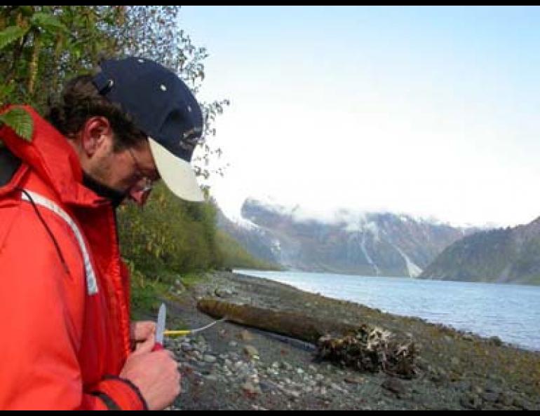
Chris Larsen, Adam Bucki and I were in Lituya Bay to learn more about the trigger of that incredible event--movement on the Fairweather Fault. Larsen is a post-doctoral researcher at the Geophysical Institute at the University of Alaska Fairbanks, and Bucki is an Institute research technician who works out of Juneau.
We were camped on Cenotaph Island in the center of the bay, three miles from the giant trench that marks the Fairweather Fault. Faults are weak places in Earth’s crust that accommodate the movement of giant plates, such as the Pacific plate and the North American plate. Like the Denali Fault that ruptured during Alaska’s 7.9 earthquake of November 3, 2002, the Fairweather Fault is a strike-slip fault, meaning that land on either side of it slips from side to side during earthquakes.
Larsen and Bucki were there to take precise GPS measurements along the shoreline of Lituya Bay, which is about 100 miles northwest of Juneau. The Fairweather Fault runs through the back of the bay, and by placing stations on the rocky shoreline on a transect from the fault to the Pacific coast, they will get a good idea of the movement along the Fairweather Fault and how fast the land is rising.
Larsen uses GPS equipment to measure glacial rebound, which is the response of Earth’s crust to the incredible weight loss in the area as ice melts from places such as Glacier Bay.
“The ice in the bay was 1.5 kilometers thick in places and now it’s gone,” Larsen said as we drank coffee on a Cenotaph Island beach one morning.
By taking repeated GPS measurements, Larsen and his coworkers have determined that parts of southeast Alaska are rising faster than anywhere on Earth. At one GPS point on a mound of rocks that pokes through a glacier east of Yakutat, Larsen has discovered that the land is rising at about 32 millimeters per year. The tallest mountains in the world in Nepal and Tibet are rising at about 5 millimeters per year.
Proving that southeast Alaska’s rise is due to glacial rebound is challenging for Larsen because of activity along the Fairweather Fault. Researchers think movement along the fault is purely horizontal, but ground compression moving perpendicular to the fault makes things more confusing. That compression may be the force that has built the Fairweather Range, one of the great coastal mountain ranges of the world that includes 15,300-foot Mount Fairweather, the summit of which is about 15 miles from Lituya Bay. Larsen is trying to separate the uplift forces that have created Mt. Fairweather from the uplift due to the loss of glacier ice.
Previous GPS readings in the bay have shown that the uplift there, about 15 millimeters a year, is not due to ground compression along the fault. That means that the land surrounding Lituya Bay, and possibly most of southeast Alaska, is rising faster than the Himalayas.


