Mapping tsunamis, building trust
While taking a quick shower before her son’s fourth birthday party on Dec. 26, 2004, tsunami scientist Elena Troshina heard the phone ring. Deciding it was worth jumping out, she picked it up — with kids, you never know.
From her office within the Alaska Earthquake Center, Troshina leaned in and recounted the caller’s words to me:
“Hi, this is CNN. What can you tell us about this tsunami?”
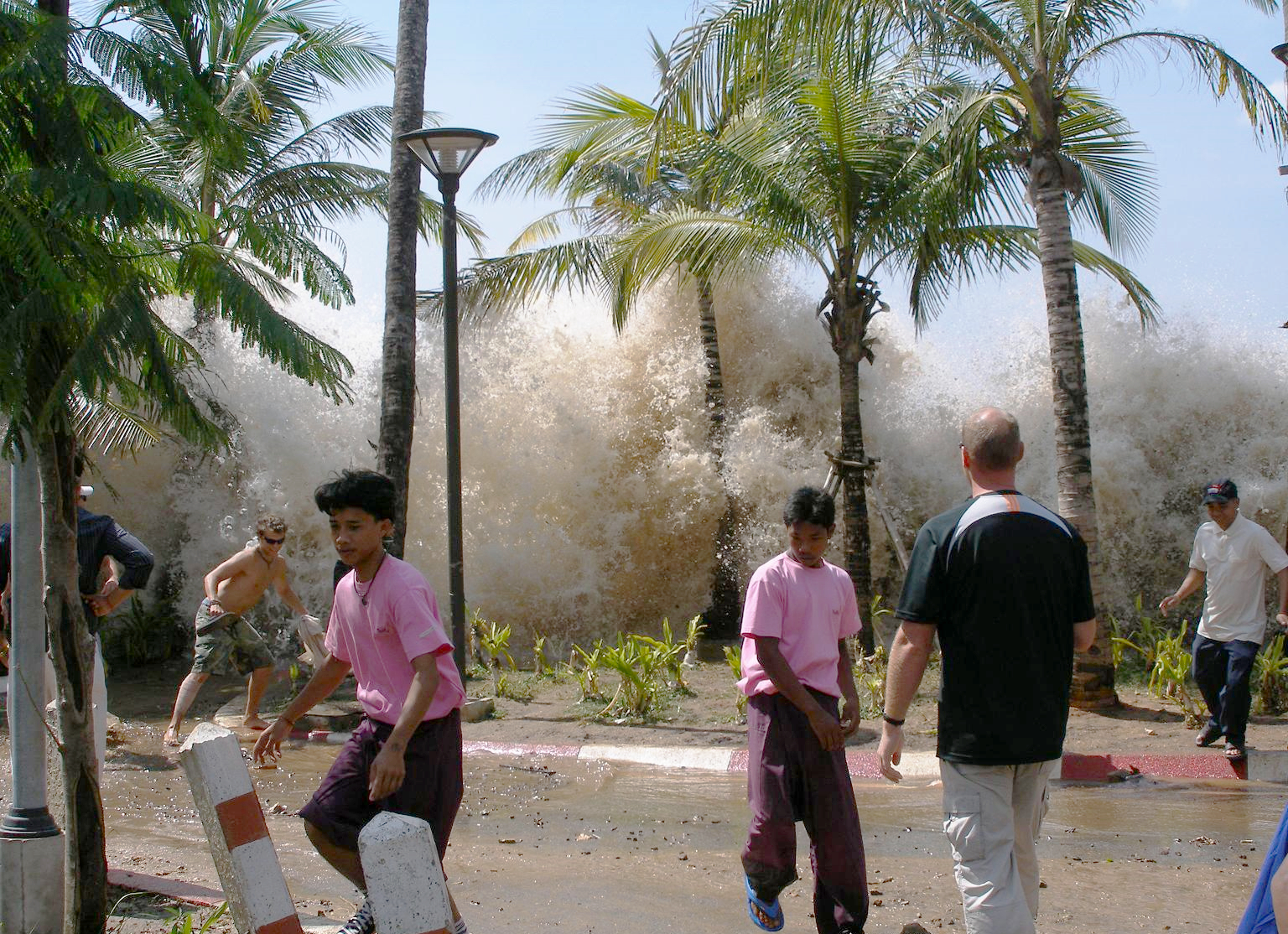
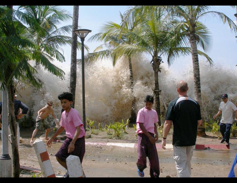
Amid the tangle of Christmas and birthday celebrations, Troshina hadn’t yet heard the news: A 9.1-magnitude earthquake off the west coast of Sumatra had triggered an enormous and deadly tsunami, killing nearly a quarter of a million people.
After hanging up the phone in shock on that December morning, Troshina unknowingly took her first step toward becoming a tsunami hazard communicator.
Since 2000, Troshina had been traveling to Alaska coastal communities to support the National Tsunami Hazard Mitigation Program, a federal-state partnership whose mission is to save lives and property when tsunamis make landfall.
After footage of the Indian Ocean tsunami flashed on the world’s television screens, Geophysical Institute leaders asked Troshina to talk about tsunami science with audiences in Fairbanks, Anchorage and Juneau.
“And I said, ‘OK, why not?’ And then I said, ‘Oh my God, what have I agreed to?’ Because I had no idea how to talk about tsunamis to the public,” Troshina remembered with a laugh.
Troshina quickly learned that terms like “bathymetry,” or the mapping of the ocean floor, were unfamiliar to many Alaskans. Equipped with a new, jargon-free slide deck and lots of animations, she decided to incorporate a public presentation into her community visits.
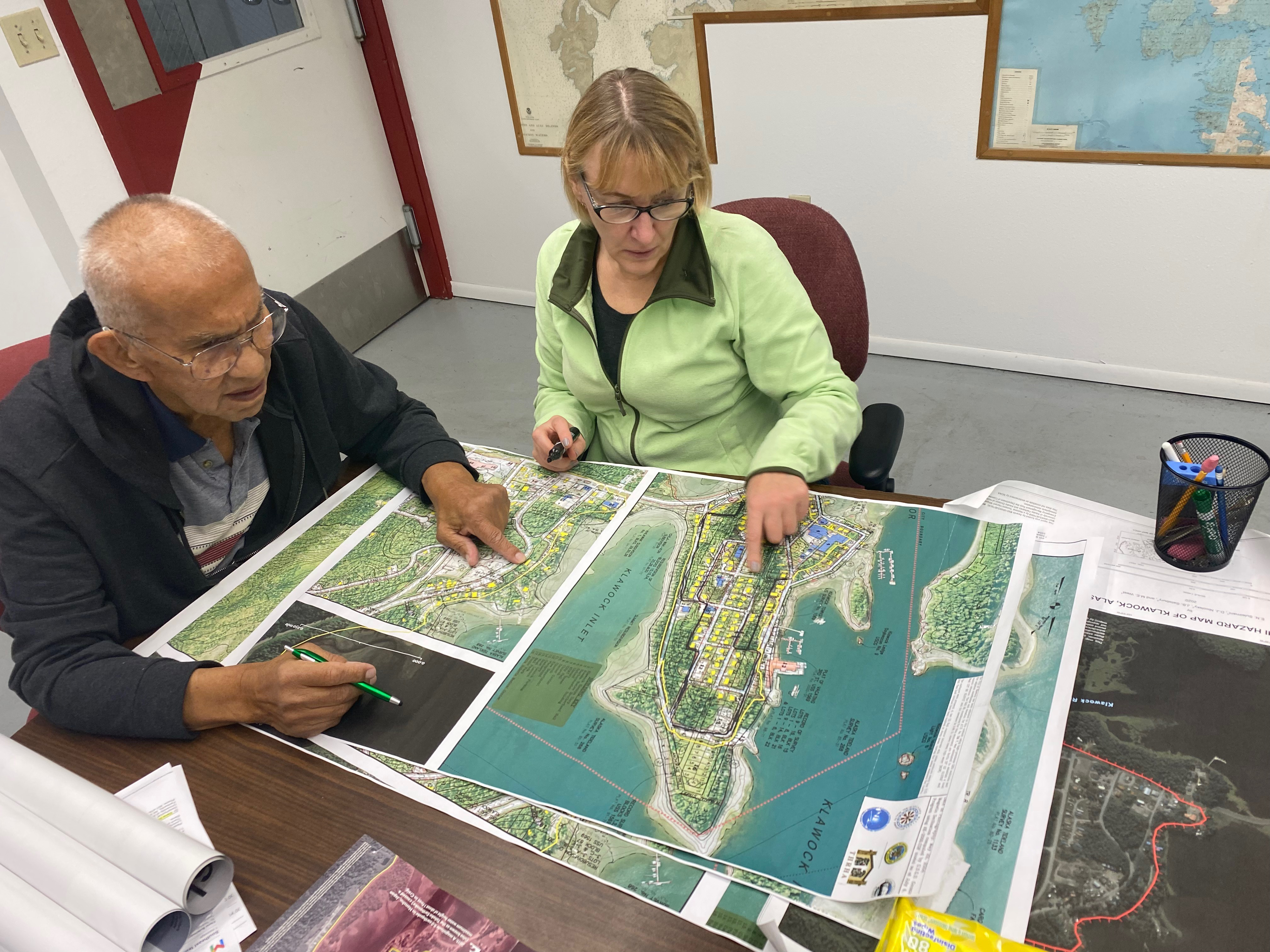
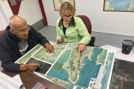
Although the scope varies based on funding and location, each visit also includes the unveiling of her mapped “maximum tsunami inundation line,” a meticulously calculated red wiggle that estimates how high a tsunami might reach. But, as of 2020, this isn’t where the mapping story ends.
“It’s one thing to show the map with the red line and say, ‘Look, so this is your map,’” Troshina told me. “It’s another thing to introduce the map, and then ask, ‘During a tsunami warning, who in your community is in charge of evacuating people? Bring me that person.’”
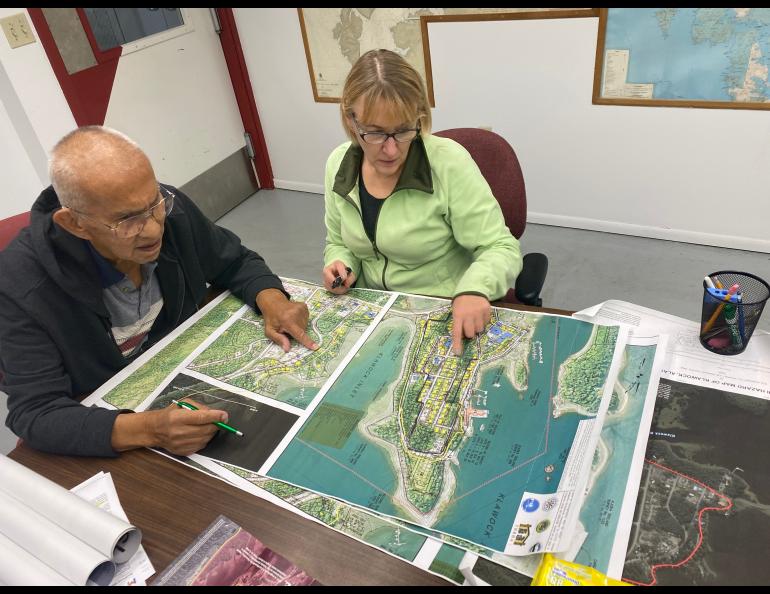
She explained how inundation mapping then becomes a collaborative process. Troshina and the lead evacuator begin to draw a second, yellow line, snaking around parcel boundaries and along roadways. Sometimes, individual property owners are also considered: how might different personalities respond to this proposed yellow line? The line continues to shift with each new input, eventually becoming the customized, community-designated evacuation line.
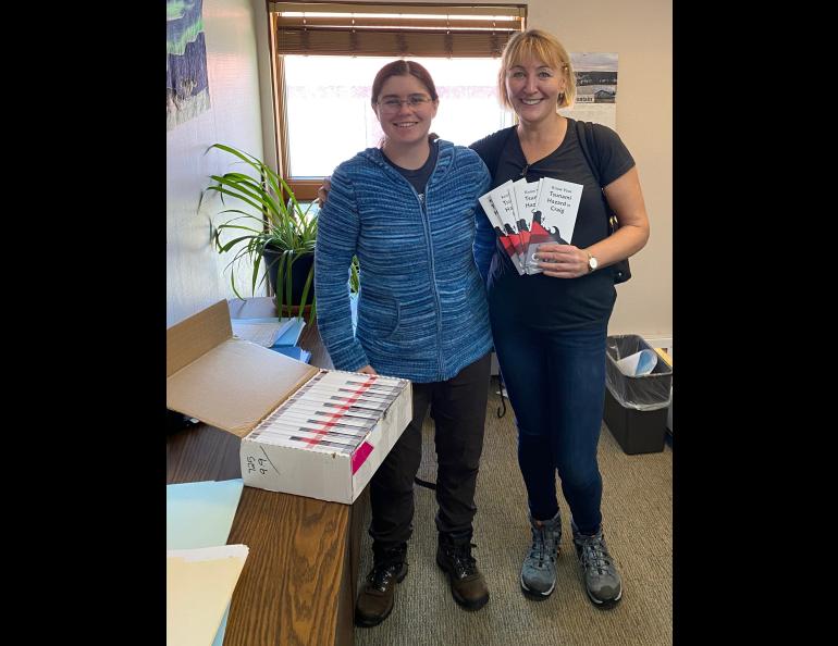
After this meeting of expert modeling and intimate community knowledge, a final report and map — with one red and one yellow wiggle — is published and sent to the community.
When I asked Troshina how she builds trust on her visits, she laughed again. “With the Orthodox communities, it’s pretty easy. I mean, I just say, ‘Oh, I come from Russia.’”
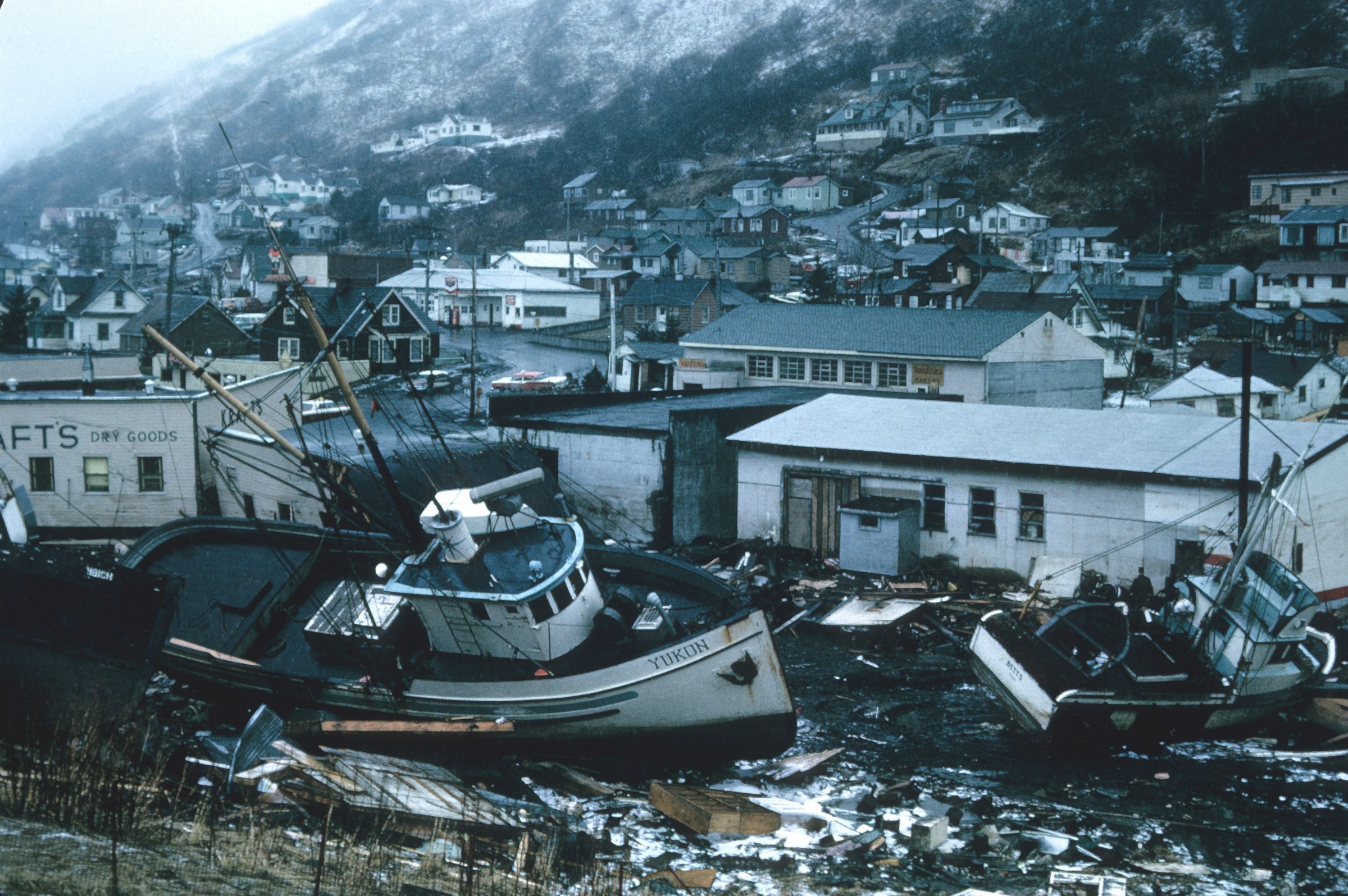
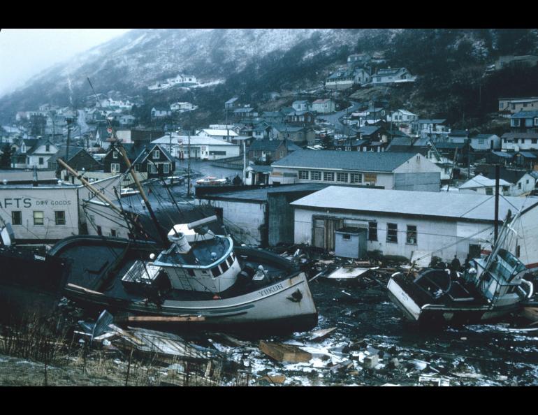
Shifting into a more serious tone, Troshina emphasized that those who experienced the tsunami triggered by the 1964 Alaska earthquake readily understand the danger. To ease skepticism or pushback from other groups, she uses an efficient and effective tactic: show what has happened elsewhere.
Troshina told me a story from Ouzinkie, a tiny village north of Kodiak Island. The mayor of Ouzinkie was quite young during Troshina’s visit and initially did not grasp the potential danger a tsunami might pose to his community.
Using a calm voice, Troshina continued her public presentation while pushing play on footage from the 2011 Tohoku tsunami, which caused the Fukushima nuclear disaster. The 30-foot tsunami barrier was immediately submerged while fishing boats were bashed against overpasses. Troshina continued to talk about the science while the images flashed on the screen.
“And when I was there presenting, the mayor was listening with literally an open mouth, and he looked at the elders who had been there during the 1964 tsunami, and they said…nothing. They didn't even open their mouths. They eventually said, ‘Yes, it was bad,’” Troshina recalled.
After witnessing the devastation in Japan and the elders’ response, the young mayor quickly secured money for a new tsunami shelter.
Troshina sees community engagement as the most important and rewarding part of her work. Lines on a map mean little without individuals deciding to act. Those actions are built on an accurate understanding of tsunami behavior and risk. For Troshina, the work has become less about drawing lines on maps and more about helping communities decide what those lines mean for them.
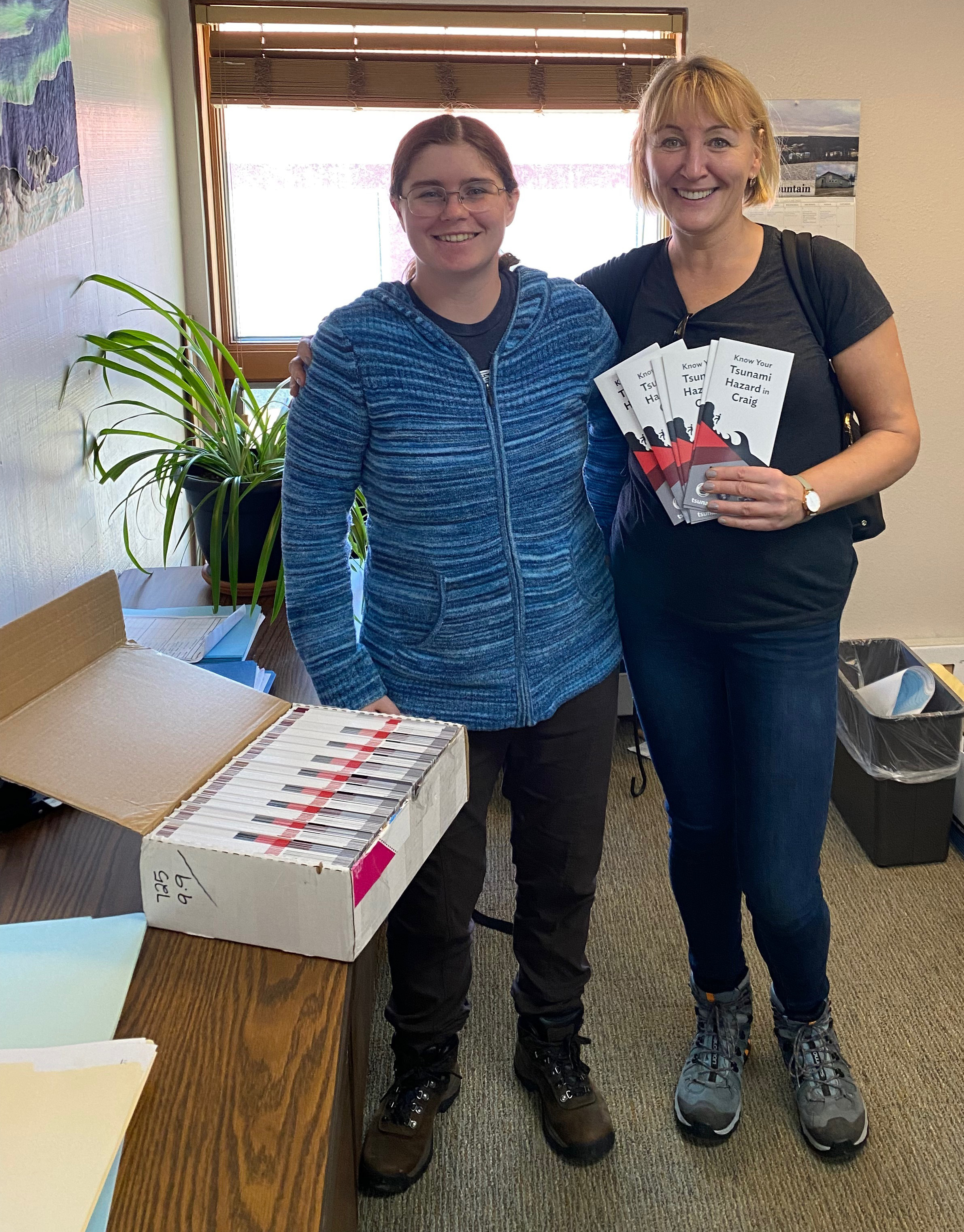
The culmination of Troshina’s work with 65 Alaska communities is summarized in a new Tsunami Hub, developed in partnership with the Alaska Earthquake Center and the Geographic Information Network of Alaska: https://earthquake.alaska.edu/index.php/tsunami-landing-page
Since the late 1970s, the University of Alaska Fairbanks Geophysical Institute has provided the Alaska Science Forum column free in cooperation with the UAF research community. Sara Wilbur is a communications coordinator for the Geophysical Institute public information office.