Recipe for a cold snap
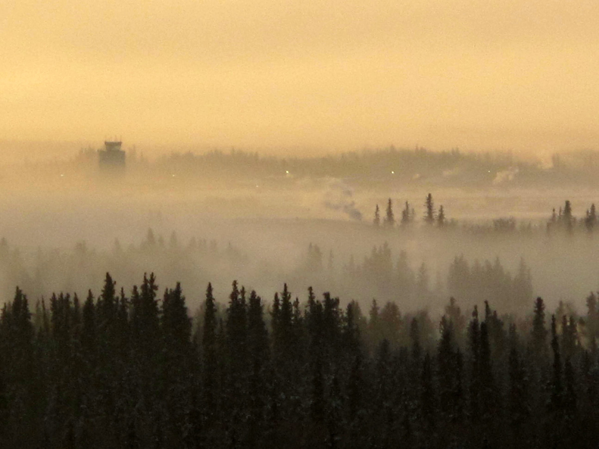
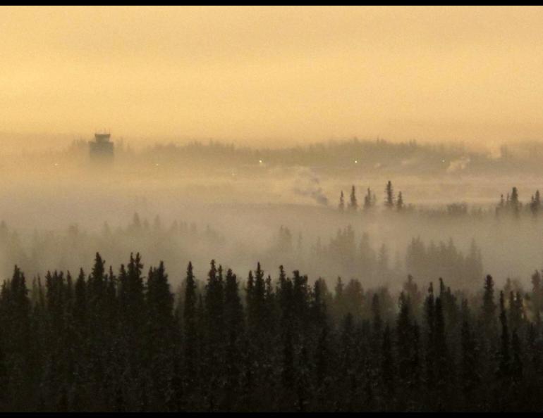
For many Alaskans, January 1989 is a month that still numbs the mind, because of the cold snap that gripped much of the state for two weeks. In Fairbanks, fan belts under the hoods of cars snapped like pretzels; the ice fog was thick and smothering, and the city came as close as it ever comes to a halt, with many people opting to stay home after their vehicles succumbed to the monster cold.
The 14 days of bitter cold were not a strictly Fairbanks phenomenon. Every region except the Aleutians and Southeast was nailed by a combination of meteorological quirks that resulted in what some called a good old-fashioned winter.
The cold air that besieged the state was born over the Beaufort Sea and stuck in Alaska as a huge high-pressure ridge from Siberia expanded across the state, according to John Lingaas and Rick Thoman, meteorologists with the National Weather Service in Fairbanks.
Frigid air within the high-pressure system sat over the state like a sumo wrestler, so large and dense that smaller, low-pressure systems in the Gulf of Alaska couldn't knock it out with warmer air.
From Homer to Barrow, the temperatures fell each day. Those in Fairbanks experienced six consecutive days where the high temperature was no warmer minus 40 degrees Fahrenheit. On January 25, much of the state received a light break when a storm system in the Gulf of Alaska stirred the air over the state somewhat. In Fairbanks it warmed to 33 below.
But we hadn't seen anything yet. A dome of extremely cold air moved from Alaska's north slope to the western interior on January 26th. As Thoman, then stationed in Nome, reported, records toppled at every weather station west of a line from Manley Hot Springs to Lake Minchumina. That same day the “Fairbanks Daily News-Miner” announced that an Alaska milestone was in jeopardy: "The Weather Service predicts Alaska's state record low — 80 below, recorded January 23, 1971 at Prospect Creek on the Dalton Highway — is likely to fall this week, possibly even today."
The record held, but Tanana came close to knocking it off, with an official low of 76 degrees below zero. McGrath followed closely at 75 below, and people in towns all over Alaska coped with extremes they'd only read about in Jack London novels: Thirty below zero in Anchorage, the coldest January day there since 1975; Homer chilled at minus 24 degrees Fahrenheit; teeth chattered in Juneau at minus 3 degrees; and Fairbanks festered at 51 below.
Though Alaskans may have been disappointed at missing the low temperature record ("If it's this cold, might as well go for it" seemed a common sentiment); one record was shattered — the highest barometric pressure reading ever recorded in North America occurred at Northway, Alaska. On January 31, the barometric pressure there was 31.85 inches of mercury, a measurement surpassed only by two readings in Siberia — a 32.06 in 1968 and a 31.86 in 1900.
The high atmospheric pressure — the weight of air molecules pressing on the earth — was the result of a high-pressure system at high elevation that teamed with the high pressure near the ground. The maximum calibrated reading of many U.S.-made altimeters is 31 inches of mercury; most aircraft were grounded until the high disintegrated.
On February 1, the high-pressure system and the Alaska cold snap began to die. It was then that our frigid air, no longer trapped by the lofty high-pressure system, oozed upon the Lower 48.
Residents of Valentine, Nebraska, felt a typical effect of the Alaska cold front, as was relayed by a reporter for the Associated Press. In 12 hours, readings on Valentine thermometers plunged from 70 to zero degrees Fahrenheit. In one hour of that span, the temperature dropped 33 degrees.
Of course Alaskans, by then basking in temperatures 50 degrees warmer than previous days, didn't snicker at the fate of Valentinians. Well, maybe a few did.

