The Rise and Fall of Shorelines
The next time someone tells you that some point on the earth's surface is a certain height above sea level, you might ask "Sea level as measured when? On a geologic time scale, sea level is a shifty thing. Right now, the oceans seem to be creeping upward; that's one of the bits of evidence supporting current concerns about global warming.
Yet, judging by changes in shorelines, the rise doesn't seem to be uniform. In some places, it looks as if the sea is actually sinking. Uncovering the facts behind the appearances is keeping a lot of researchers reviewing tide-gauge records and boning up on local geology.
Harold R. Wanless, a researcher at the University of Miami who studies the consequences of rising sea levels, recently reported on some of the work in Sea Frontiers magazine. To understand what's happening now, he thinks we have to look back in time about 15,000 years.
Then, the last ice age was nearing its end. So much water was frozen, bound up in the glaciers, that sea level was about 130 meters (430 feet) lower than it is today. People could, and did, walk dry-footed across land where the Bering Sea now rolls. The location of Miami Beach lay more than six miles inland from the Florida shoreline.
The great melting that followed was breathtakingly rapid in geologic terms--sea level rose about four feet every century for nearly ten thousand years. Coastlines moved inland to match, with a speed depending on local topography but averaging more than a kilometer (six-tenths of a mile) every hundred years.
By about 5500 years ago, the continental ice sheets had nearly finished melting. With less meltwater pouring into the oceans, the rate of sea level rise declined. As measured in south Florida, Wanless reports, the average rise was about 23 centimeters (9 inches) each hundred years. Around 3200 years before the present, the pace decreased even further, to near 4 centimeters--a little more than an inch and a half--each century.
The most interesting point in this long-term perspective is in how shorelines changed during the last 32 centuries: for the first time since the end of the ice age, they stopped losing ground. Sediments built up, and organisms grew, fast enough to stabilize the shores. In warm waters, coral reefs kept up with the rising sea, and mangroves sprouted in the protected shallows. Farther north, marshes spread on the sediment. Seagrasses and seaweeds slowed the force of eroding waves. Even oysters and other shelled animals added to this stabilization.
The twentieth century seems to be the time of another change of pace. The oceans have resumed to the rate of rise prevailing earlier than 3200 years before the present. Since about 1930, when reliable tide gauges had been established at most major U.S. coastal cities, Key West has seen sea level rise about half a foot. So has New York, San Francisco, and San Diego. Galveston, Texas, has had what looks like real trouble, with a rise of more than a foot--but Galveston is on sinking ground, so only part of that is a real increase in sea level.
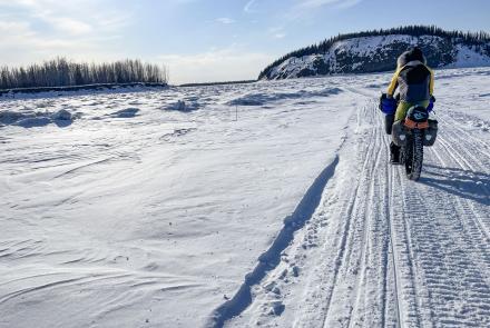
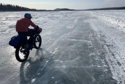
You'll have noted that Alaska place names haven't appeared in this yet, and Galveston's plight hints at the reason: shorelines, like the sea itself, can change their levels. And almost all of Alaska's coastline is rising, far faster than sea level is.
The reason for that goes back 15,000 years also. Those great ice sheets that formed on Alaska's mountains extended well out into what is now the sea. The land is still recovering from their enormous weight, which actually pressed the earth's crust down into the more yielding mantle. Thus, the tide gauge at Juneau shows an apparent decrease in sea level--by more than two feet since 1940.
So, thanks to our late-departing glaciers, Alaskans can build shoreside cabins confident that they won't be flooded out in a generation or two--unless, of course, an earthquake tips them into the sea.