Sandblows
It was a pleasant summer evening on the Yakutat Foreland until the few people there felt the first earthquake motions. Most ran outside and then were thrown to the ground by earth motions of increasing severity. Unable to rise for several minutes, people heard rumbling and grinding noises in the mountains behind the Foreland and saw the earth ripple into waves that raced across the nearby ground. In the soft, wet soils of the Foreland the waves opened fissures in the ground and cast up volcano-like eruptions of water and sand.
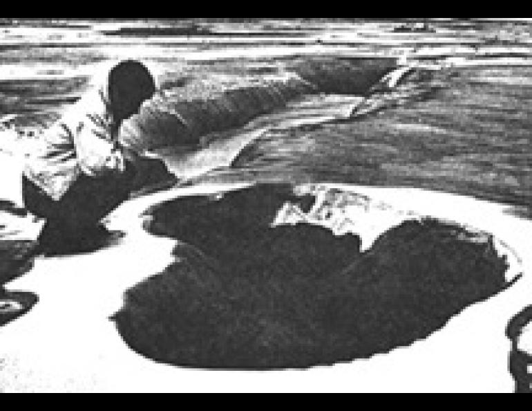
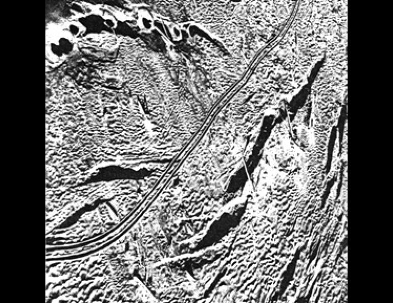
These so-called sandblows were one of the more spectacular consequences of the great Lituya Bay earthquake of July 10, 1958, though few people saw them, and time soon obliterated evidence of their existence. Tens of thousands of sandblows occurred during the earthquake in the flat coastal region (the Foreland) between Lituya Bay and Yakutat. Some erupted from obvious fissures in the ground. Others were aligned in rows marking out unseen cracks, and many seemed to occur with random placement.
Sandblows form where strong, continued earthquake shaking causes wet, loose soil to consolidate. As sand-sized particles within about 100 feet (30 meters) of the surface are shaken, they reorient so as to fit more closely together. Pressure from the weight of the soil above squeezes water out from the diminishing pore spaces between the sand particles and forces it upwards.
If the water table is not too far below the ground surface, flooding of the surface can result. More usually, water jets up at points determined by zones of weakness or in cracks opened up by the earthquake's shaking. Sand-laden water spouts several feet high are seen, usually a minute or two after the strong shaking begins. The jetting action in a sandblow is easily simulated by holding one's partly opened fist, thumb upward, about half submerged in water. If one orients the hand properly, a quick closure of the fist leads to a faceful of water.