Tectonics and the Yukon River
Not far from Skagway, just over the border in Canada, precipitation that falls does not run off the few tens of miles directly to the sea. Instead, the mighty mountain barrier which rings Alaska's southern coastline causes the water to flow downhill to the north into the Yukon River watershed. This water must flow north and finally west a distance greater than 1500 miles before reaching the Bering Sea.
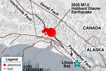
Why such a circuitous route? The answer lies in the high degree of tectonic activity of southern Alaska. The mountains there are rising up faster than they are being eroded away by weathering processes.
That the uplifting is very rapid is demonstrated by the troubles a surveying crew had some years ago. One summer they ran level lines from the southern coast to Big Delta. The next year they ran the level lines from Big Delta back to the coast only on find that their survey failed to close. As they discovered during a rapidly repeated survey in the following year, the failure of the first survey to close was due to uplift of the Alaska Range during the two years of the initial survey.


