The War Within the Kenai Peninsula
Something strange is happening beneath the Kenai Peninsula. Unlike Seward, which is behaving as it should by creeping northwest a few centimeters a year, Homer is migrating southeast.
The lethargic relocation of both towns is happening because Earth's plates are constantly in motion, but something is making the eastern and western sides of the Kenai Peninsula move like confused snails in opposite directions. Jeff Freymueller wants to find out why.
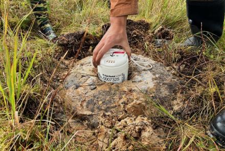
Freymueller, a geophysics professor at the Geophysical Institute, uses global positioning satellites, also known as GPS, to monitor the movement of Earth's plates, which creep along at about the speed fingernails grow. The measuring system consists of 24 satellites operated by the U.S. Air Force. Freymueller anchors GPS receivers to bedrock so he can see the Earth move. With an array of these sites along the Kenai Peninsula, he and his colleagues have been able to track the oddball advances going on there. Satellite measurements show Freymueller that the eastern Kenai Peninsula is moving the way scientists think it should--in the same direction as the Pacific plate. The western Kenai Peninsula is the puzzler, creeping the opposite way, against the force of the Pacific plate.
Alaska experiences more earthquakes than the rest of the Lower 48 because the state is near the boundary of the Pacific plate and the North American plate. Earth's crust consists of about a dozen such plates, each more than 1,000 miles across and up to 40 miles thick. Near Alaska, the Pacific plate dives beneath the North American plate. The plates meet at a boundary that extends southwest from Prince William Sound and continues west, forming a line just south of the Aleutian Islands. When rocks at the intersection of the two plates give in to the incredible stress, earthquakes happen.
The most dramatic recorded rupture at the plate boundary was on March 27, 1964, in what's become known as the Good Friday Earthquake. That gargantuan grind of plate past plate registered as a magnitude 9.2, which is topped worldwide only by a 9.5 earthquake recorded in Chile in 1960. Not only did the Good Friday Earthquake kill 115 Alaskans and 15 people on the coasts of Oregon and California, it's probably still affecting Alaska.
The Good Friday Earthquake may now be rearranging the Kenai Peninsula in several ways. The stressed boundary of the Pacific and North American plates may be trying to "catch up" with the cataclysmic movement of 1964, Freymueller said. About 15 miles under the surface, where rocks are so hot they flow like molasses, the big shake might still be keeping things unstable enough to cause movements on the ground consistent with the surprising GPS measurements. Freymueller said the ground movement on the Kenai Peninsula that might be due to the 1964 earthquake is about the same as ground motion that was measured around Landers, California, one year after a magnitude 7.3 earthquake. Even after 35 years, the Good Friday Earthquake may be the force that's pushing Homer away from Seward.


