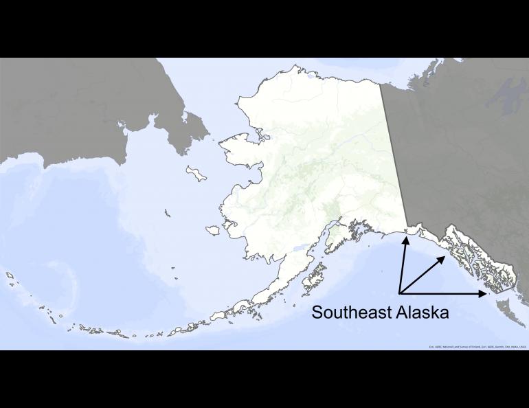
In the crosshairs of an atmospheric river
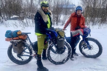
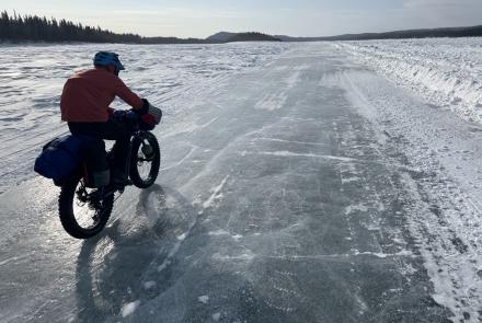
Because of where Southeast Alaska sits — at the wetted lips of the planet’s widest expanse of blue — it is often soaked by atmospheric rivers, firehoses of moisture flowing up from the tropics.
And even though the forests and muskegs of Southeast Alaska have evolved to drink up and shed stunning amounts of rain, sometimes it is too much.
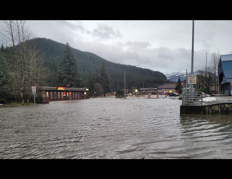
For example, early this year, Carl Dierking measured more than six inches of rain outside his Juneau home in just two days, the result of an atmospheric river that stalled, leaving the faucet on for days over Alaska’s panhandle.
Dierking lives in Juneau, where for almost 40 years as a National Weather Service meteorologist he monitored occasional visits from the “Pineapple Express,” a term professionals used before atmospheric rivers became popular.
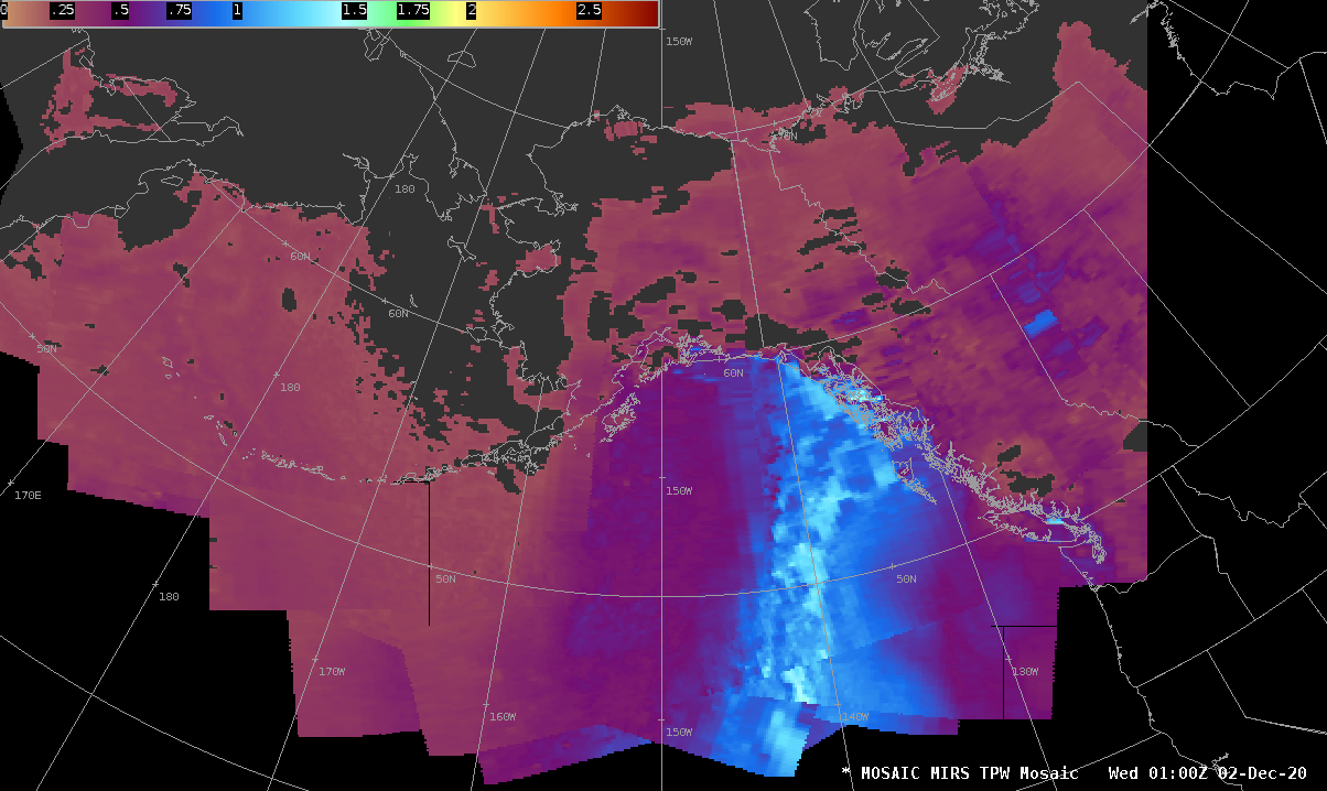
Now, Dierking helps his former colleagues know when one of these drenching events is about to impact Alaska, with the help of satellites orbiting 500 miles overhead. He works for the Geographic Information Network of Alaska, part of the Geophysical Institute. His tools are instruments aboard the satellites that measure how much moisture is in a certain part of the atmosphere, even when it is cloudy.
Alaska has giant swaths of unpeopled country with no twirling weather radars, or none that can see beyond where mountains are blocking them.
“Satellite data is really our only tool for seeing where heavy rain is impacting a (remote) area,” Dierking said.
By looking at information right after a polar-orbiting satellite dumps its invisible information into two satellite dishes near Fairbanks, Dierking can make sense out what a satellite has seen. The satellites use a passive microwave detector to measure energy emitted by rain.
“It’s not a simple process, but there’s a signal you can squeeze out to get the intensity of rainfall,” Dierking said.
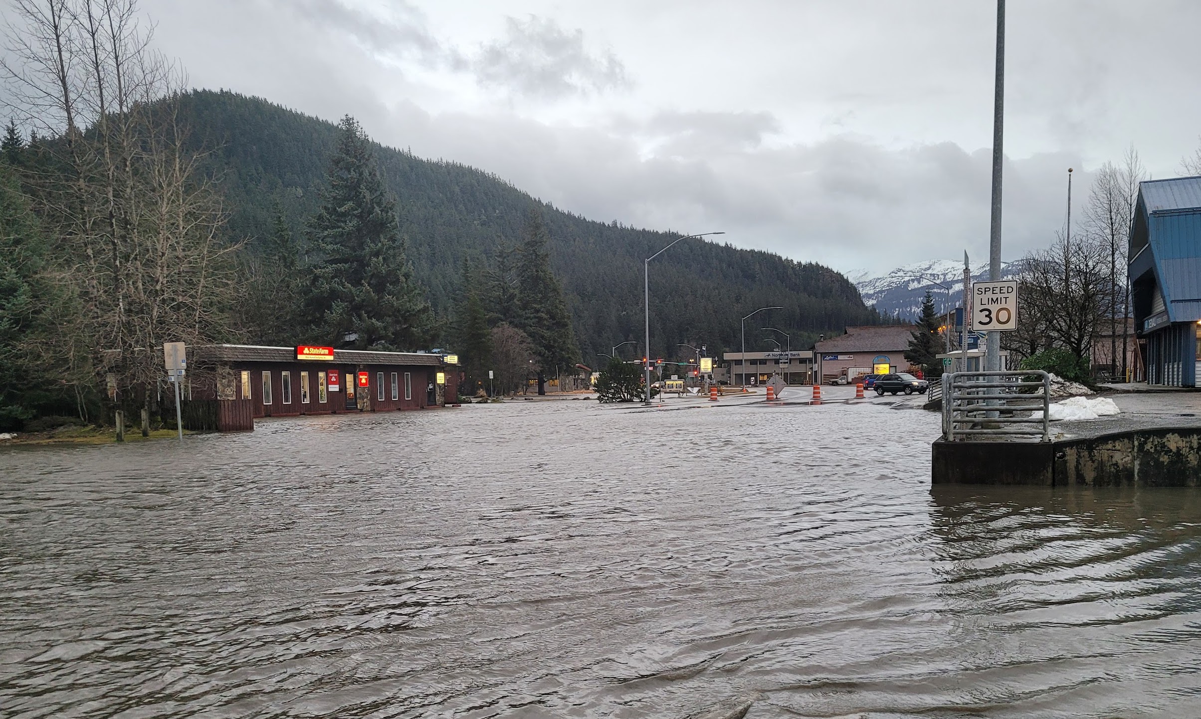
Using that information, the scientists can predict an atmospheric river event, such as the one that resulted in more than 10 inches of rain falling on Haines and other Southeast towns in early December 2020. Two people died from mudslides in Haines. Heavy rain falling on fresh snowfall also caused other debris flows and flooding.
“That event brought moisture up from south of Hawaii,” Dierking said.
One thin cross-section slice of an atmospheric river can carry almost three times more water, in vapor form, than the flow at the Amazon River’s mouth, said Marty Ralph of the Scripps Institution of Oceanography in California.
Ralph studied atmospheric rivers as both a good thing — in busting droughts in the state — and a bad thing — when one lingers and supersaturates the landscape at the wrong time.
In Southeast Alaska, Dierking often texts Aaron Jacobs, a meteorologist at the National Weather Service in Juneau, to compare notes when instruments suggest the area is about to experience an atmospheric river.
Jacobs, who has also studied atmospheric rivers for years, said warmer air temperatures in recent years have probably made atmospheric rivers more intense when they hit Alaska and mountains wring out moisture.
“In a warming environment, the atmosphere can hold more water,” Jacobs said. “That means more available water vapor to precipitate out.”
Atmospheric rivers are not all the same, Jacobs said.
“A strong but quick moving atmospheric river — less than 24 hours in duration —may not be as impactful (as) a moderate-but-long-duration 48-hour event.”
The time of year atmospheric rivers happen also matters, such as following a fresh snowfall that melts easily.
Jacobs said that while more atmospheric rivers may not be striking Alaska now than in the past, they are becoming more intense.
“We are seeing more extreme-precipitation records being broken in the last 10 years,” he said. “In Juneau, for example, in the last two years we have seen the wettest day and the third-wettest ever, going back to the mid 1930s. Both of these events were associated with atmospheric rivers.”