A Dusting of Facts About Snow
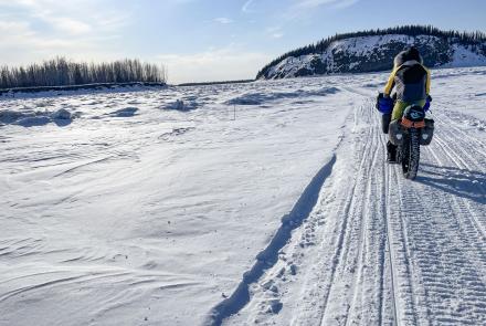
Like millions of tiny paratroopers, snowflakes fall through the Fairbanks sky, touching down on a blanket already 15 inches thick. Now seems a good time to ponder the cold, white substance that covers Alaska most of the year.
Snow forms high in the atmosphere with the help of particles, such as dust, volcanic ash or sea salt. These flecks serve as condensation nuclei-something onto which water vapor can cling. Without these little particles, water vapor can remain unfrozen down to minus 40 degrees. The meeting between a supercooled cloud of water vapor and a sprinkling of dust often results in a snowstorm. Seeded with dust, supercooled water vapor turns into ice crystals.
These ice crystals then latch onto surrounding molecules of water vapor as they float around within the cloud. As the crystals grow, parts break off and act as nuclei for other crystals. As the crystals fall through warmer layers of air, they link up by the thousands to form snowflakes. Snowflakes appear in many shapes, but all have six sides created by the electrical bonds between water molecules. When snow forms at temperatures near freezing, the flakes look like tiny stop signs. Six-sided needles appear at temperatures a few degrees cooler. Between 21 degrees F and 14 degrees F, snowflakes are hollow, hexagonal columns.
Lacey stars with six points form at about 5 degrees. It takes about one million snow crystals to coat a two-foot square area with 10 inches of snow, according to Jerry Dennis, author of It's Raining Frogs and Fishes. Of the billions that fall in a good storm, it's a good bet that each is unique, Dennis wrote. For -more- ASF #1474 ADD 1-1-1 snowflakes to be identical, they would have to be born of the same particles, formed at the same altitude, pass through air of identical temperature and humidity, and bump the same number of crystals on the float to the ground.
Dennis reported that the greatest snowfall recorded in a day was 76 inches at Silver Lake, Colorado, in 1921. During the winter season of 1998-1999, Mt. Baker in Washington made headlines when 1,140 inches (95 feet) of snow fell. Dennis wrote that the greatest depth of snow ever recorded on the ground at one time in North America was more than 37 feet in Tamarack, California. According to Rick Thoman, lead forecaster at the National Weather Service office in Fairbanks, that record has been buried. Thoman said the snow depth measured for one season on the Kenai Peninsula's Wolverine Glacier was 472 inches-that's more than 39 feet.
Alaska would probably chalk up more snowfall records if snow gauges existed on Malaspina Glacier or thousands of other remote spots, Thoman said. In the 1950s and 1960s, a weather station in Thompson Pass north of Valdez recorded these gaudy numbers: sixty-two inches of snow in one 1955 day; twenty-nine feet of snow in the month of February, 1964; and a total snowfall of more than 80 feet in the winter of 1952-1953.


