
High-and-dry log points to great Alaska tsunamis
As Gary Carver stepped through the grasses of a treeless Alaska island with an archaeologist friend, he spotted a bleached driftwood log. The log rested on sand about a half mile from the beach and 50 feet above sea level.
Carver, on the island searching out Aleutian mummies for a Discovery Channel program, is an expert on tsunamis. He suspected that only a giant wave could have delivered a 30-foot log that high on uninhabited Sedanka Island, about 15 miles southeast of Dutch Harbor. Then he grabbed his shovel.
Carver, an emeritus professor at Humboldt State University who lives in Kodiak, dug a hole near the driftwood log. He saw in the soil that big waves had soaked the island at regular intervals.
“In the profile were layers of beach-like sand separated by peaty soils,” Carver said in San Francisco at the Fall Meeting of the American Geophysical Union. Carver was one of more than 20,000 scientists who attended the weeklong gathering of Earth and space scientists in December 2013.
Because worsening weather required Carver and archaeologist Rick Knecht to leave Sedanka Island with haste, Carver didn’t have time to backfill his hole. But he sailed away with a new theory of why he and Knecht found no aboriginal remains on the south side of islands on the Alaska Peninsula and the eastern Aleutians.
“We spent several weeks cruising around islands and found a great many occupation sites,” Carver said of his 2005 visit. “We found no sites on the Pacific side. They were all on the Bering Sea side. They had a tradition based on the past that the south side was bad.”
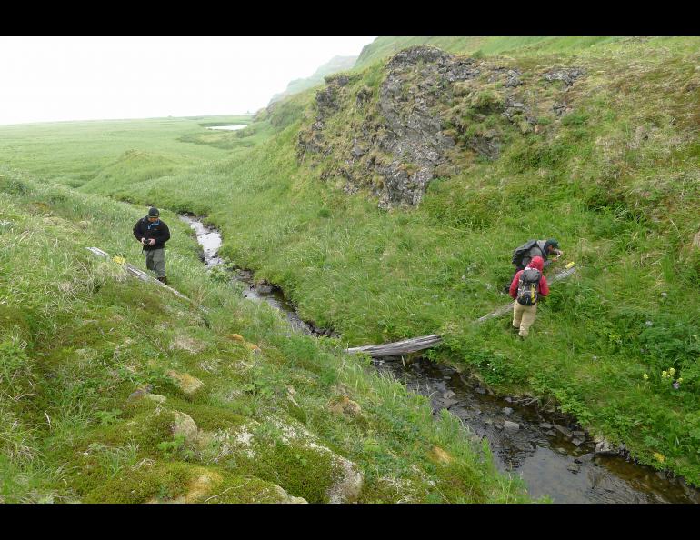
Over the years, Carver couldn’t forget the driftwood log above Sedanka Island’s Stardust Bay (named after a shipwreck on the beach). He returned in 2012 with a team including Rob Witter of the USGS Alaska Science Center in Anchorage and Rich Koehler of Alaska Division of Geological and Geophysical Surveys in Fairbanks.
The scientists found Carver’s hole from seven years earlier. They pulled out their shovels and expanded it. They mapped six sand deposits from giant waves.
“Tsunamis have hit Stardust Bay on average every 310 through 340 years,” Witter said at his presentation at the American Geophysical Union meeting.
Witter also pointed out strange waterways on the island that widen and deepen in a seaward direction.
“These unusual channels are similar to areas inundated by the Sendai tsunami (in 2011),” he said.
The scientists think the tsunamis that hit Sedanka Island were probably at least as large as those generated by giant Aleutian earthquakes in 1946 (magnitude 8.1) and 1957 (an 8.6). Both earthquakes sent waves racing across the Pacific. The 1946 tsunami killed 159 people in Hawaii and destroyed Hilo. The 1957 tsunami killed no one but wrecked two villages on Oahu.
Carver doesn’t know the source of the driftwood log that tipped him off to the island’s tsunami history. Tests on the sand deposit closest to the surface show a tsunami carried the sand there after 1950 but before 1964.
“The 1957 tsunami is the best explanation,” Witter said.
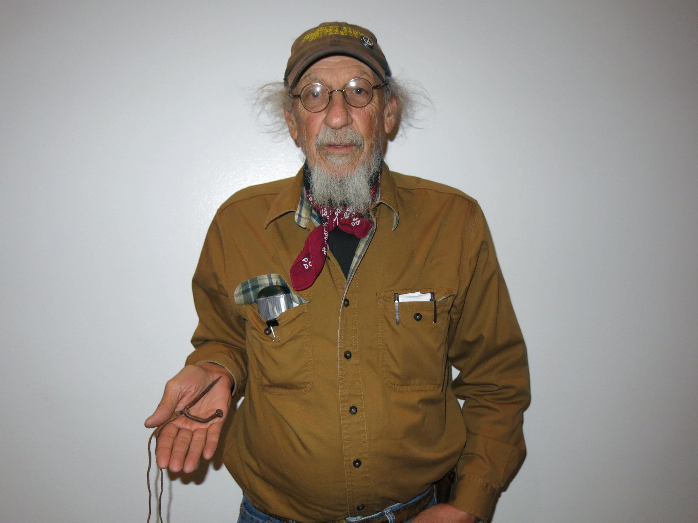
Carver found four clues driven into the log that let him know an ancient tsunami did not carry it high above Stardust Bay. Rusty nails in the log make him think it might have been an old telegraph or telephone pole. He pulled one of the nails during his last trip and now wears it on a cord around his neck.
Scientists at the recent American Geophysical Union conference also revealed evidence found on Hawaii that points to an extraordinary tsunami that may have originated in Alaska. That finding, from the island of Kauai and possibly related to the sands on Sedanka Island, will be the subject of next week’s column.


