People return to flawed places because they do
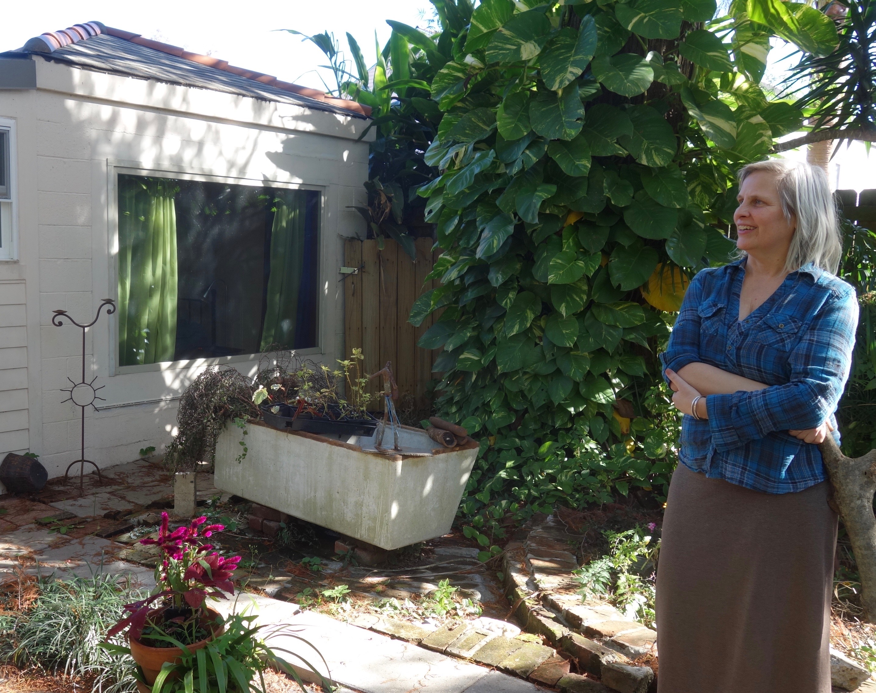
NEW ORLEANS — As a child, Deb Long spent many hours at the post office in Ester, Alaska. Her mother Ruth was the postmaster there. As an adult, she has settled into a funky little house that stands on brick legs in the Holy Cross section of New Orleans. She likes to listen to jazz while trimming her banana tree and working on a former wagon house she rents out as an airbnb.
After she purchased her New Orleans home following Hurricane Katrina in 2005, she rolled 26 tires out to the street through her wrought-iron gate. During the flood that accompanied that storm, the tires floated in over the fence. The brackish waters also soaked the walls of the house. This made the structure quite affordable when the water receded. Long purchased it because she noted that neighbors seemed to talk with one another there. It felt like home.
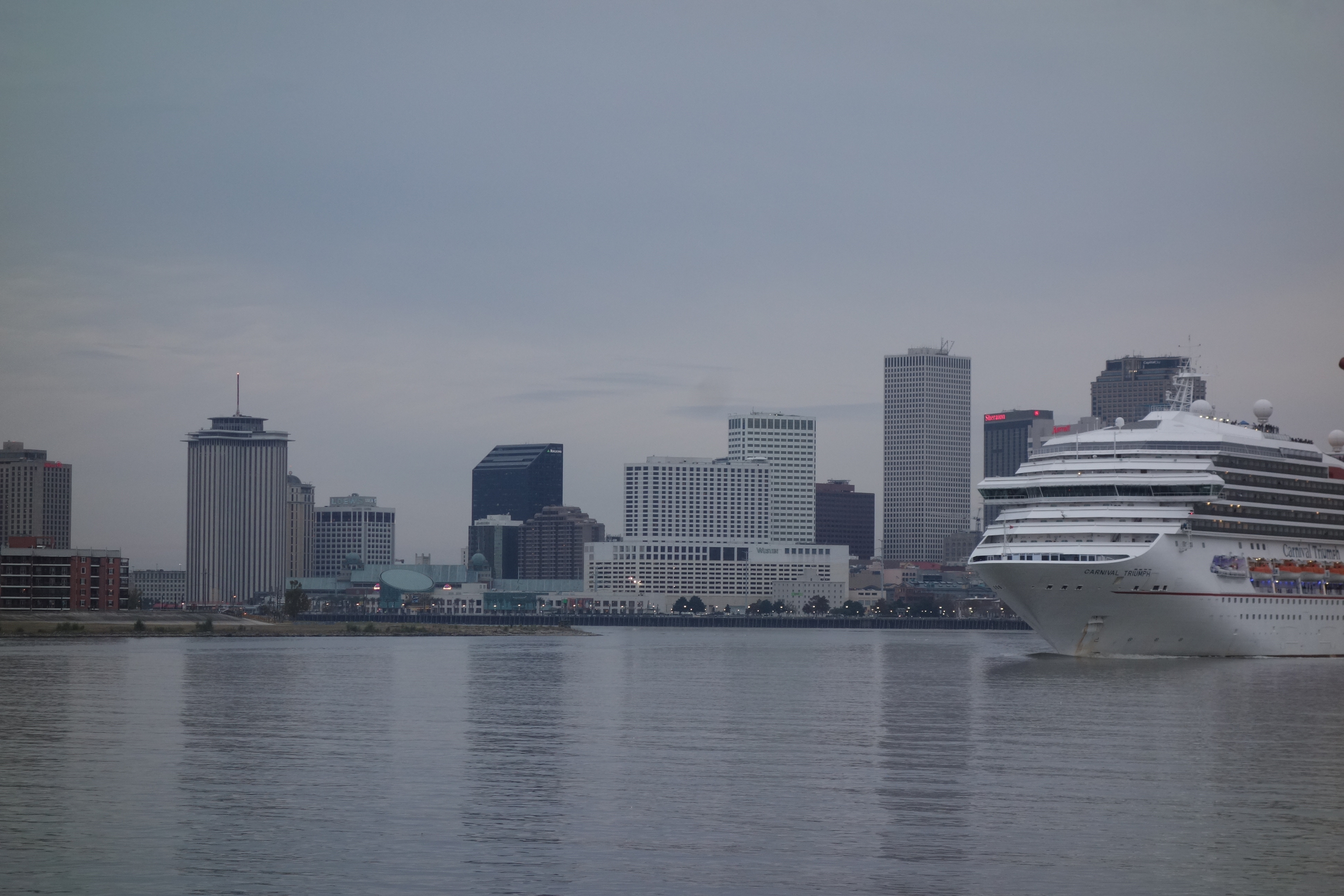
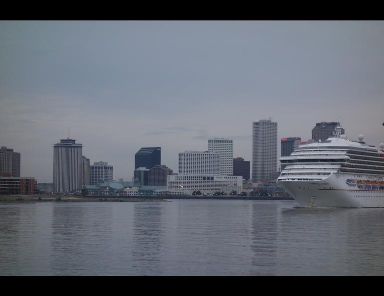
A few hundred yards south from Long’s house is a grassy hill that leads to the Mississippi River. That manmade, elogated ridge, with a walking path at its crest and a view of the tall buildings of downtown New Orleans, is a levee, one of the barriers that keeps the city from flooding. Without it, the river would be under water each spring. From the levee, looking back toward Long’s neighborhood, there is the odd sensation that the river is higher than the streets.
That is indeed the case in most of New Orleans, a city that will celebrate its tricentennial in 2018. More than half the city is lower in elevation than the river, the giant Lake Ponchartrain to the north and the Gulf of Mexico to the south.
Every drop of rain that falls on New Orleans needs to be evacuated via canal to Lake Ponchartrain. That complicated system involves 120 electric pumps that move about 400,000 of gallons of water each second into the lake, even when it is not raining. About one half million people live inside the bowl of central New Orleans.
Of course, rainfall is not the only threat to New Orleans. Hurricanes push water toward the city from Lake Ponchartrain and the wetlands east of town. To protect from that, there are floodgates at canal outlets to the lake. During hurricane surges, which don’t happen every year, engineers close the gates. They then pump the city’s rainwater up and over them.
This place with such obvious fatal flaws has some features in common with the extreme place in which Deb Long grew up. The Fairbanks area of her youth was prone to flooding from the Chena River until the Army Corps of Engineers built a levee and floodgates upstream of the city. The Moose Creek Dam diverts water from the Chena into the Tanana River during times of high water, helping Fairbanks avoid a repeat of the great flood of 1967.
New Orleans is sinking, much like her former home in the discontinous permafrost zone of Alaska. As ground frozen for thousands of years warms enough to lose its space-consuming ancient ice, the Alaska landscape sags in response.
For a number of reasons, the elevation of New Orleans is also decreasing. Barry Keim, the state climatologist for Louisiana and a professor at Louisiana State University, explained that to reporters who accompanied him on a field trip that was part of the Fall Meeting of the American Geophysical Union in December 2017.
Keim, an energetic 54 year-old, grew up in nearby Chalmette. New Orleans has sunk up to 10 feet in spots during his lifetime. One reason is the hemming in of the Mississippi. Because the big river no longer wanders here at its mouth, its silt and sand deposits don’t build up the landscape.
Over its three hundred years of occupation, the city expanded into cypress swamps and continues to do so. Since the canals started draining water to Lake Ponchartrain, the drying peat foundation lost up to 90 percent of its volume. That, along with oil, gas and water extraction from the region, has led to the downtown area sinking from 1 to 2 inches each year.
As Keim and a dozen reporters bounced on a bus through the gritty streets of the Lower 9th Ward, the feeling was reminiscent of rides over Interior Alaska roads built on thawing permafrost soils.
Following Hurricane Katrina, which flooded 80 percent of the city and killed more than 1,800 people, many New Orleans houses were abandoned. A good number remain boarded up with plywood. But if a person were to visit the city without knowing of that deadly event 12 years ago, he or she would notice all the new construction, much of it in some of the hardest-hit areas.
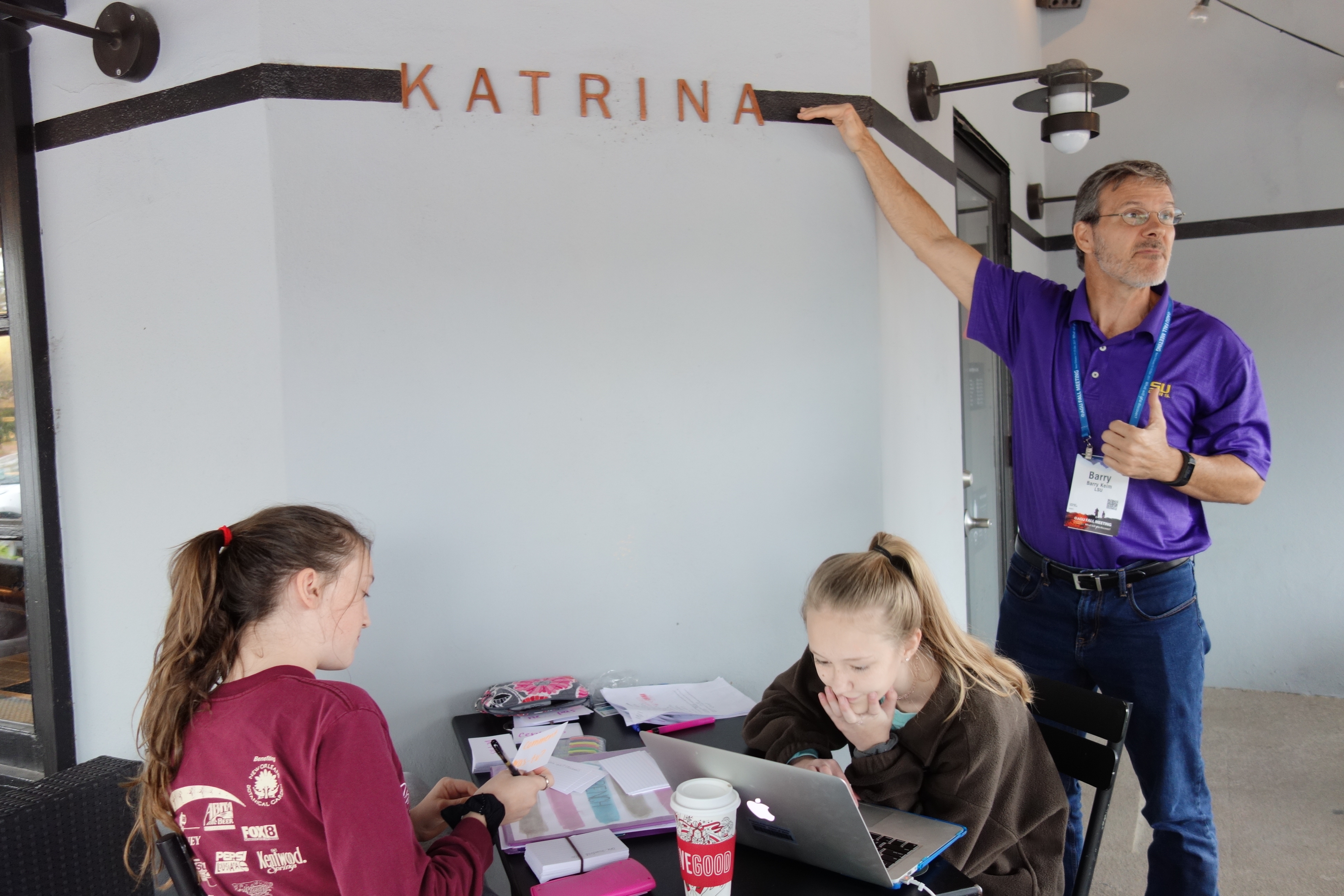
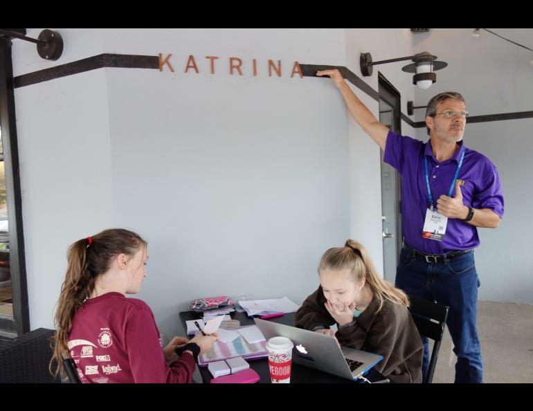
Near the end of his New Orleans tour, Keim led his group into a downtown Starbucks, one of the many businesses that rebuilt or moved in after Katrina. Above a table where two girls worked on homework, he pointed out a line painted six feet above the floor, showing the floodwater level following the hurricane.
In the cafe, people sipped coffee at tables stacked with Christmas presents. They sat just a few minutes’ walk from a canal wall that floodwater had shoved over in 2005, making the city unliveable for a month.
Back on the bus, a reporter asked Keim why people came back to New Orleans. Why invest so much to rebuild a place that’s sinking, surrounded by water and so vulnerable to the next big storm and rising sea level?
The reporter might have been asking that same question of someone from Anchorage who lives on Bootlegger Cove clay that shook like jelly during the 1964 earthquake. Or a person who built a new home in a Juneau avalanche chute. Or someone trying to solve permafrost by driving metal pilings 40 feet into frozen ground for his house foundation.
“Because it’s home,” Keim said.