Skip to main content
Shop
Donate
UA Directory
Intranet
Quick Links
Geophysical Institute
Main navigation
Home
About
Contact Information
Contact
UAF Directory
Visitor Information
About the GI
Diversity & Inclusion
GI Publications
Timeline
GI Quarterly
People
Leadership
Researchers
Graduate Student Researchers
Emeriti
Research
Atmospheric Sciences
Remote Sensing
Seismology & Geodesy
Snow, Ice & Permafrost
Space Physics & Aeronomy
Tectonics & Sedimentation
Volcanology
Facilities & Labs
Services
Design & Printing
GI Human Resources
Education Outreach
Instrument Development
Keith B. Mather Library
Research Computing Systems
News & Info
News
Alaska Science Forum
Alaska Science Pod
Science for Alaska
Aurora Forecast
Visitor Information & Tours
Events
Diversity & Inclusion
Student Info
Intranet
Search
News
Breadcrumb
Home
/
News
Filter By Year
- Any -
2024
2023
2022
2021
2020
2019
2018
2017
2016
2015
2014
2013
2012
2011
2010
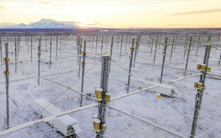
HAARP artificial airglow may be widely visible in Alaska
Geophysical Institute
November 2, 2023
Alaskans and visitors may be able to see an artificial airglow in the sky created by the High-frequency Active Auroral Research Program during a...
Read more
UAF scientists receive grant to improve study of rising sea levels
Geophysical Institute
October 31, 2023
A $638,000 National Science Foundation grant to two University of Alaska Fairbanks researchers aims to accelerate innovative ways of studying...
Read more
Schaible Geophysical Institute Fellowships application period now open
Geophysical Institute
October 30, 2023
The application period for two new Schaible Geophysical Institute Fellowships at the University of Alaska Fairbanks Geophysical Institute is now...
Read more
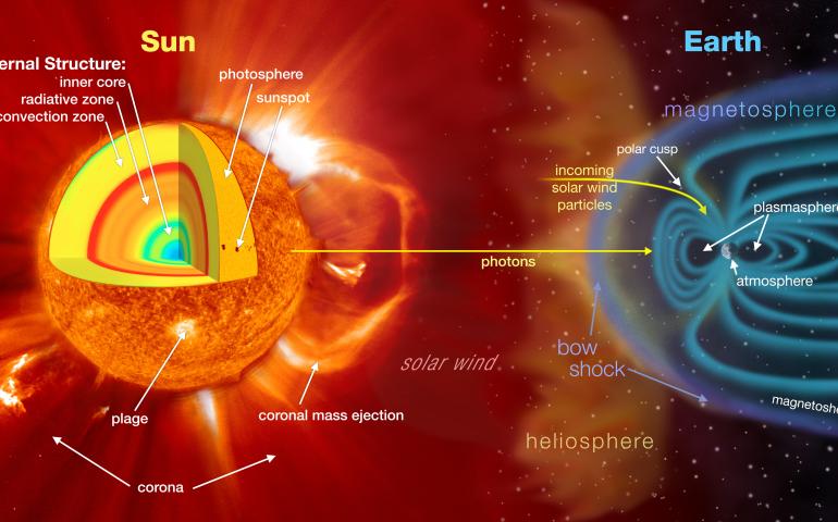
UAF scientist to aid NASA’s space weather forecasting
Geophysical Institute
October 27, 2023
A University of Alaska Fairbanks scientist will have a role in a new NASA center that aims to greatly improve space weather forecasting and...
Read more
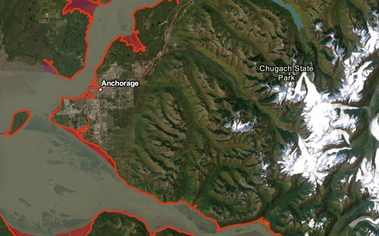
Upper Cook Inlet community meetings will address tsunami hazard
Geophysical Institute
October 16, 2023
In a series of community meetings to be held Oct. 17–20, scientists and local emergency managers will answer questions about a new report of...
Read more
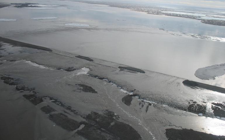
Flooding that closed Dalton Highway also caused widespread ground sinking
Geophysical Institute
October 11, 2023
The massive 2015 flooding of the Sagavanirktok River in northern Alaska had immediate impacts, including closure of the Dalton Highway for...
Read more
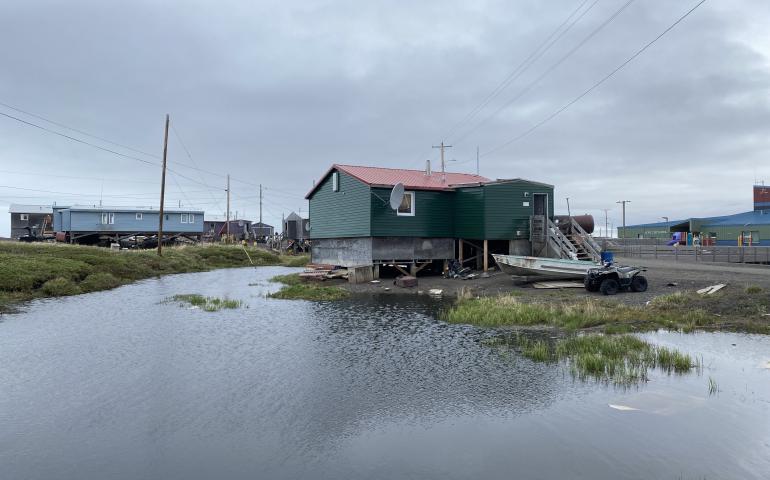
Alaska coastal tribe leaders see hope in NSF-funded climate project
Geophysical Institute
October 11, 2023
The National Science Foundation’s decision to fund a $13.9 million program to help several Alaska coastal communities respond to the effects of...
Read more
UAF-led group gets $13.9 million to aid coastal climate resilience
Geophysical Institute
October 11, 2023
The National Science Foundation is funding a $13.9 million program led by the University of Alaska Fairbanks to help multiple communities respond...
Read more
NASA announces open availability of Radarsat-1 data at Alaska Satellite Facility
Geophysical Institute
October 3, 2023
NASA has announced that all Radarsat-1 data archived at the Alaska Satellite Facility Distributed Active Archive Center are now open data and can...
Read more
Load More