
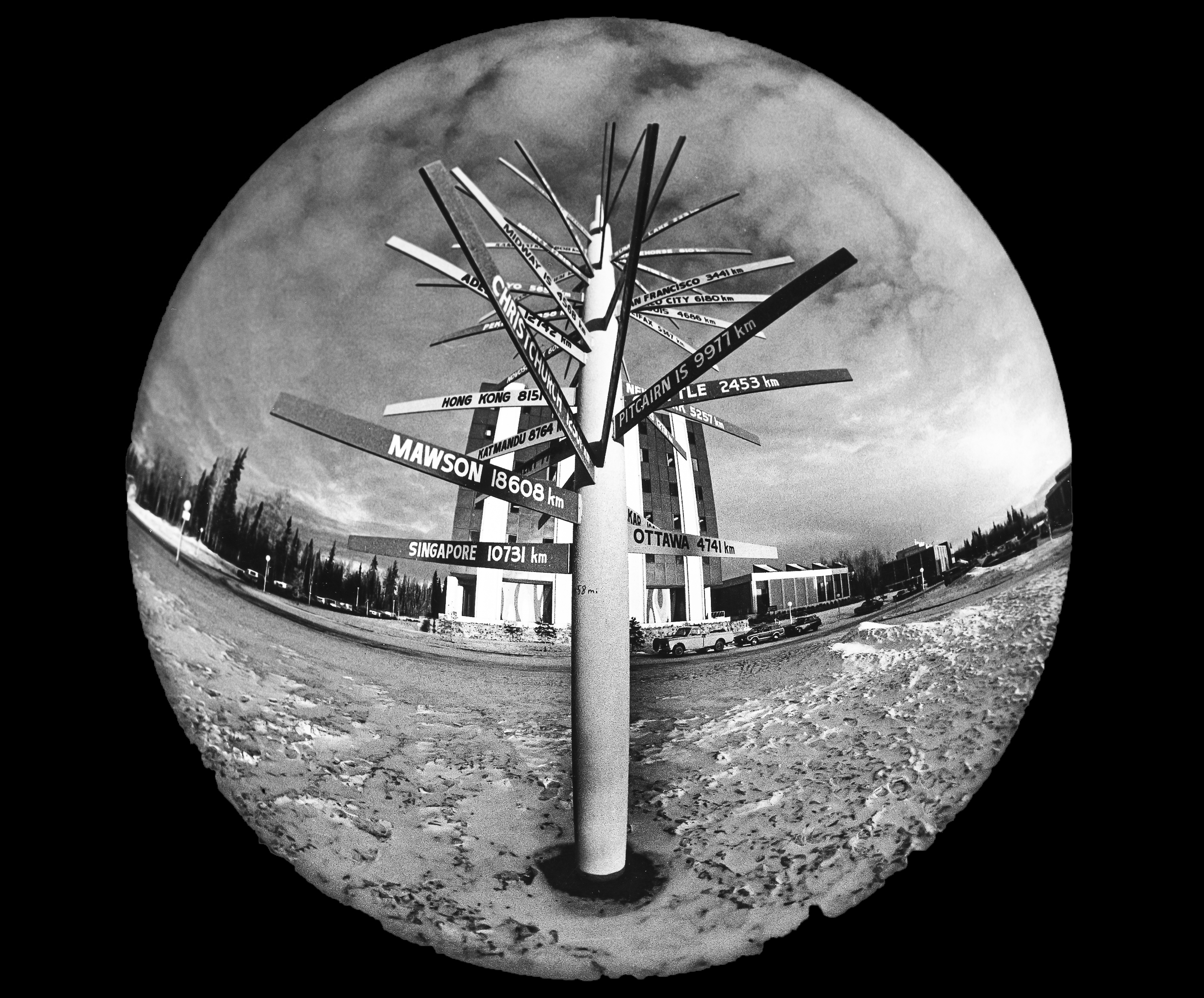
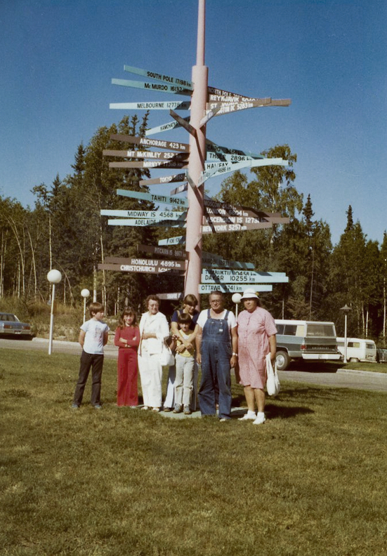
GI History Nugget: The international signpost backstory
There are a couple of accounts about the origin of the Geophysical Institute’s international signpost. The narratives are similar, but they vary on a few particulars.
The official history of the signpost was written by former GI director Keith Mather as a memo to his successor, Juan Roederer, in July 1986.
“It all began at a luncheon with Paul Smith [and others] at the Cosmos Club on 21st Street, N.W, in Washington, D.C.” Mather said.
Admiral Paul A. Smith, Ret., was a long-time member of the Geophysical Institute Advisory Board. The referenced luncheon took place Wednesday, Nov. 29, 1972, Mather said.
“Since [completion of the Elvey Building in 1970], I had been toying with the thought of something — some symbol — that would betoken the lnstitute's international connections and also be a decorative feature on the Mall,” Mather explained in the memo.
“Ideas got tossed around and we talked of the Institute, the University, the future. The possibilities of a signpost were discussed, albeit somewhat casually … something to think about."
The following December Mather was again lunching at the Cosmos with Admiral Smith and others.
“The idea came up again. Everyone seemed to like the notion of a signpost,” Mather wrote. “I had been hesitant because so many local signposts that cities erect are poor things, provincial in concept, often dilapidated and taudry [sic] as they stand. But after endorsement from the ad hoc 'Cosmos Committee,' the thought became more appealing.”
“Paul said ‘O.K. if you want a different signpost, then do it differently — something interesting as well as photogenic.’”
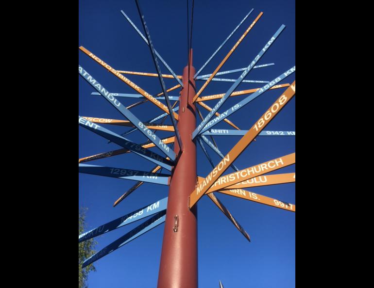
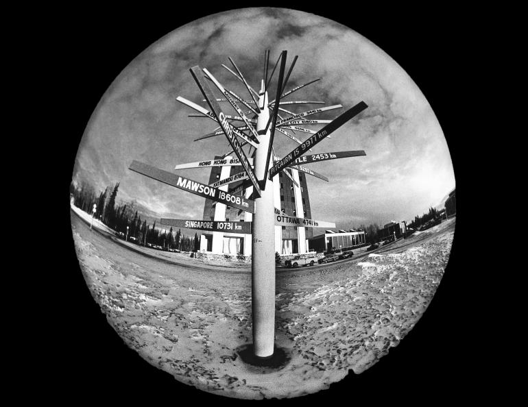
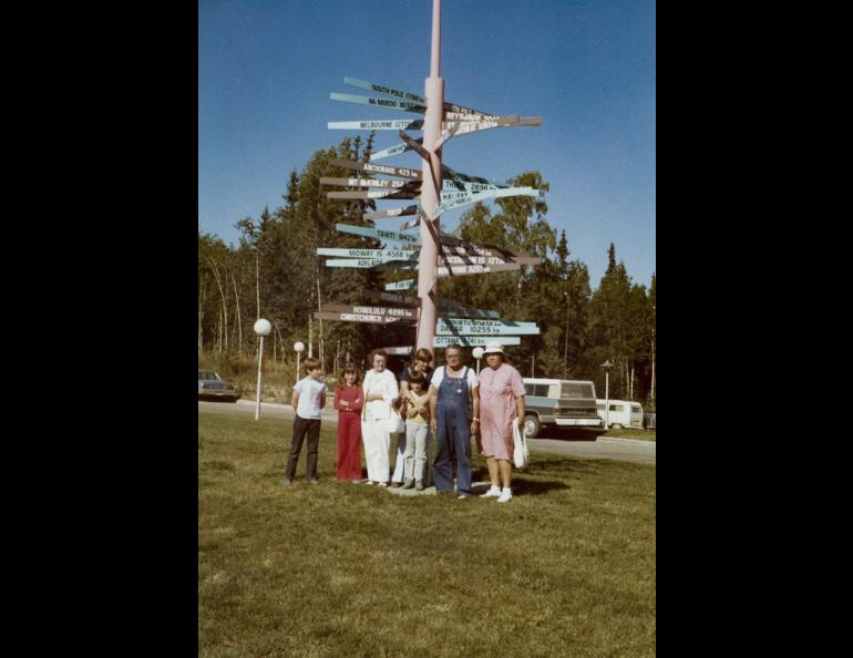
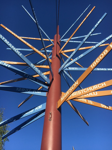
Mather came up with a double spiral of colored name plates, one spiral in brown beginning from the North Pole, the other in blue, beginning from the South Pole.
“I think I was a bit influenced at that time by the idea of the double helix in DNA,” Mather notes.
Each spiral was to cycle down from the top, with a place name about every 30 degrees, the two spirals intertwining, and the total angle of each spiral being 630 degrees (one and three-quarter cycles). Smith and Mather corresponded about exotic place names that might be included.
In April 1973 Mather decided the signpost should be ready before the next major science meeting on campus. The 24th Alaska Science Conference (theme: Climate of the Arctic), jointly sponsored by the American Association for the Advancement of Science and the American Meteorological Society, with funding from the Rockefeller Foundation and the National Science Foundation, was scheduled for Aug. 15 – 17, only four months away. Time was short!
The problem with the signpost, after everyone had agreed upon the basic design, was to find suitable global locations for nameplates to point at every 30 degrees around the pole.
“There is no great difficulty with the northern hemisphere, thanks to all the land masses, but the southern hemisphere is largely ocean,” Mather said.
They decided to choose locations in South America, Africa, Australia, New Zealand and Antarctica, but they also had to resort — “not without amused satisfaction” — to some remote spots such as Ascension Island in the South Atlantic and Tahiti and Pitcairn Island in the South Pacific.
“We confided to each other, these would contribute the exotica!” Mather said in the memo.
Once all the calculations were made the full plan was sent to James Parry, head of the GI Machine Shop. Parry supervised the machining, construction and painting of the aluminum central pole and the 44 signposts. Mather asked Merritt Helfferich to lay out the true north-south bearing before the post was set in its concrete pad. The signpost was finished and in place in time for the 1973 conference!
Mather’s postscript to the 1986 memo to Roederer said “Today, some 13 years later, the red post needs repainting — but it will be like painting a porcupine!”
All of this is from the “official” history of the signpost. But wait, there’s more!
In a summary of the sign’s origin story written some years later, Merrit Helfferich said that “visitors, school children, confused graduate students, and lost wanderers would seek it out for amusement, relocation, and, unfortunately, climbing.” It turned out that the pressure of a leaning adult or climbing child would break off the 48-inch long place name signs. Over the years, Jim Parry and machinist Bill Baranauskas needed to rehabilitate a number of the signs.
In the mid-2000s, UAF’s Design Services needed to construct a new utilidor on West Ridge. The straight two-way street which ran in front of Elvey was to be excavated to 20 feet deep and 40 feet wide. A project evolved to convert the road space on top of the new utilidor into the West Ridge Plaza. The design included the curvy one-way road, paths, sculptures, benches, picnic tables and landscaping we see today. So of course, the signpost had to be moved as soon as construction began.
“The contractor took it out, carried it down to the machine shop on a forklift and asked ‘Where do you want this thing?’” Dale Pomraning, today GI’s head machinist, said. “This is like trying to carry a porcupine or a poker fish!”
The signpost stayed in storage behind Elvey for several years while construction was underway. Once the time to reinstall the sign drew near, the Machine Shop staff refinished and repainted the pole and signs, replacing at least one sign that had been stolen, and repairing some that were damaged. This was the perfect time to address the original design error and place the sign on a concrete plinth tall enough to discourage leaners and climbers.
On May 19, 2008, there was to be a ceremony to dedicate the new plaza and to rededicate the signpost. Merrit Helfferich was enlisted to write the afore-mentioned history for the occasion.
According to Helfferich, there was a different reason Mather and Smith in 1972 thought an international signpost was a good idea.
“It was important to indicate to confused visitors, new graduate students, and the directionally handicapped just where in the world we were (and still are except for continental drift),” Helferrich said in the program for the signpost rededication.
Helfferich said that Admiral Smith calculated the great circle azimuths and distances in kilometers (no old English distance units for this post) to each of the locations, and that Jim Parry, not Mather, designed a vertical spiral mounting pattern for the signs to allow them not to be grouped on top of each other.
“This geophysical and engineering artifact will again attract and guide adventurers, graduate students, and the lost and confused to their homes, research sites or other destinations,” Helfferich observed as the closing comment in his version of the history of the signpost.
Mather memo to Roederer of July 8, 1986