

Hyperspectral device will benefit ecology, mineral research
A new mapping instrument at the University of Alaska Fairbanks Geophysical Institute creates such detailed images of the landscape that scientists can use it to identify specific minerals and plants.
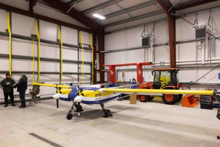
The HySpex hyperspectral camera, purchased through a National Science Foundation Major Research Instrumentation Program grant, collects images using visible, near-infrared and short-wave infrared electromagnetic wavelengths. The device can be mounted in an aircraft for aerial mapping or on a tripod on the ground. The project was funded with $428,000 from NSF and additional matching funds from UAF.
“There is no other equipment in Alaska that can do this,” according to Anupma Prakash, professor of remote sensing and principal investigator on the HySpex project.
The camera collects hundreds of pictures of each area at which it is aimed. Sophisticated processing of the narrow wavelength measurements collected makes it possible for researchers to derive information about physical, chemical and biological characteristics of the landscape with exceptional accuracy.
The HySpex system can be used to investigate ecosystem processes, locate and identify surface minerals, analyze soils and water quality, classify vegetation type and condition, categorize the chemistry of a forest canopy or determine properties of snow and ice.
“Alaska is a vast state, and much of it is wilderness with limited access. There is no way you can go there on your own” to quickly collect this much detailed data, Prakash said.
The HySpex data could be particularly useful for mineral exploration in Alaska. Strategic minerals — sometimes called rare earths — have been a hot topic in global mineral exploration, Prakash said.
“Alaska has known deposits of these minerals. Now we have the equipment to detect their presence on the surface in remote locations,” he said.
The data also could advance knowledge of vegetation ecology in Alaska. Using the HySpex, ecologists can tell whether plants are diseased or stressed.
Procedures required to process the huge amounts of data collected are extremely sophisticated. The German Space Agency, or DLR, and the U.S. Geological Survey are providing UAF with a specialized software package to process the data and are training UAF personnel in its use.
“They’re saving us two years of development time and a lot of headaches,” Prakash said.
This summer, the Geophysical Institute project team will be making test data collection flights so they can continue the calibration process begun after the equipment was delivered last fall. The first test flight took place in mid-April; the next flight, scheduled for the second week of June, will be even more rigorous. “We want to make sure we can deliver what we promise,” Prakash said.
After calibration is complete, researchers with UAF, other universities, government agencies and private businesses can work with project staff to collect and process data from the HySpex camera.
“Our goal is to locate partners with projects that need this kind of data,” Prakash said.
MORE INFO: www.hyperspectral.alaska.edu
NOTE TO EDITORS: Additional photos are available upon request.
SM/5-4-15/275-15
Sue Mitchell, University of Alaska Fairbanks Geophysical Institute, 907-474-5823, sue.mitchell@alaska.edu
Anupma Prakash, University of Alaska Fairbanks Geophysical Institute, 907-474-1897, aprakash@alaska.edu


