
Recent Posts
UAF satellite facility to manage massive NASA data surge
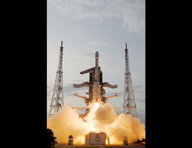
Years of preparation by the Alaska Satellite Facility will ensure that a flood of freely available data from a NASA-India satellite mission that launched Wednesday will be easy for the global public to use.
“Most of what we’ve been working on for the past eight years is preparing for NISAR,” Alaska Satellite Facility Director Wade Albright said prior to the launch.
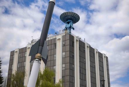
The Alaska Satellite Facility is a unit of the University of Alaska Fairbanks Geophysical Institute.
“It’s not just scientists using the data anymore,” Albright said. “It”s people in operations. It’s teachers. It’s GIS analysts. Giving them the tools and skills to spend less time manipulating the data and more time actually working with the data is important.”
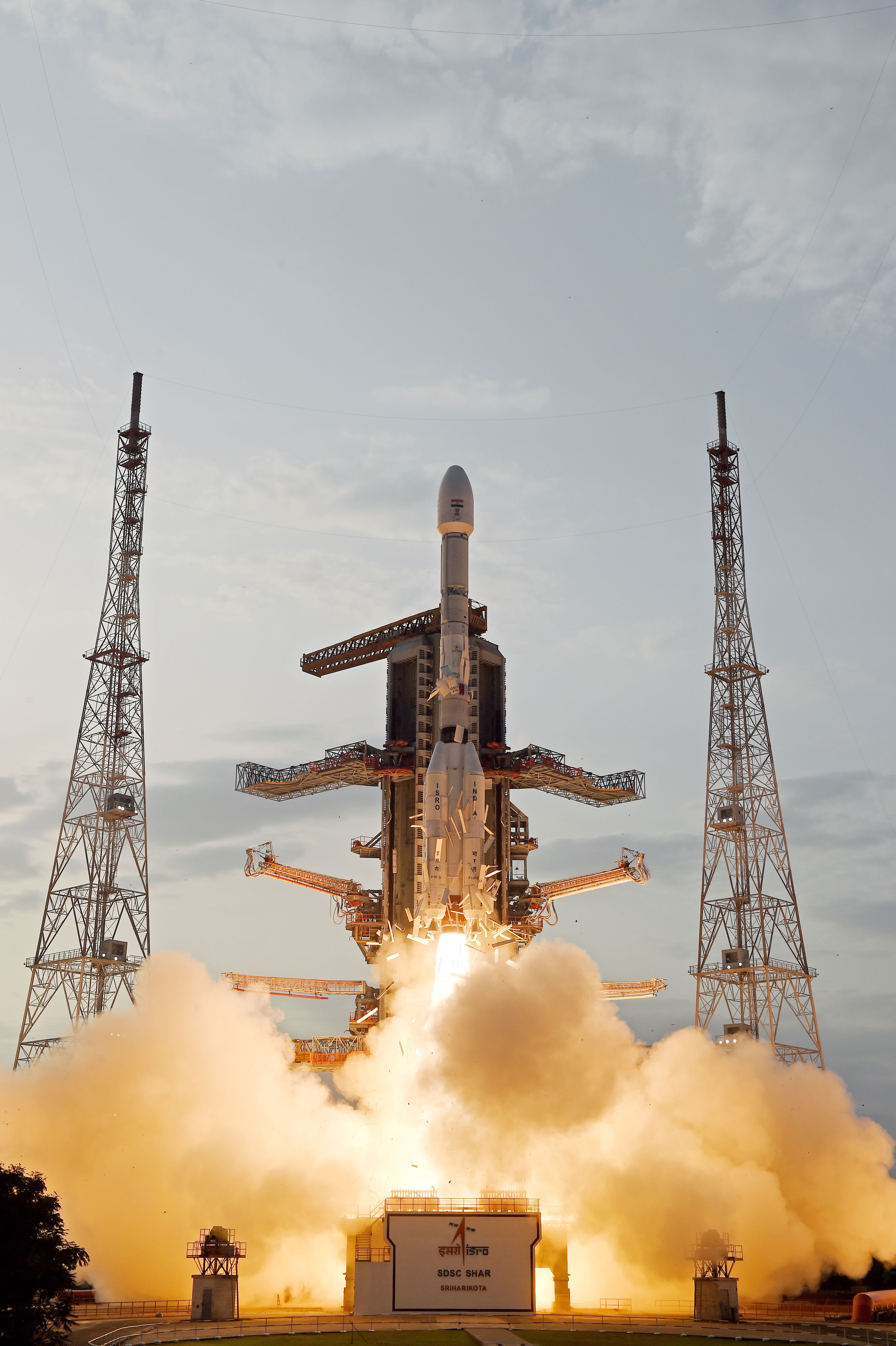
NISAR, a synthetic aperture radar satellite, launched from the India Space Research Organization’s Satish Dhawan Space Centre at 4:10 a.m. Alaska time Wednesday, July 30. It is NASA’s first SAR satellite mission since 1978.
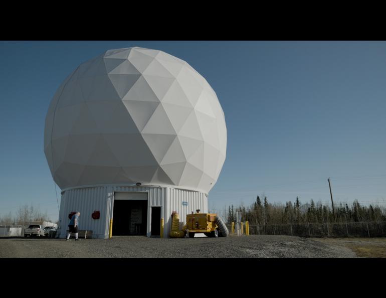
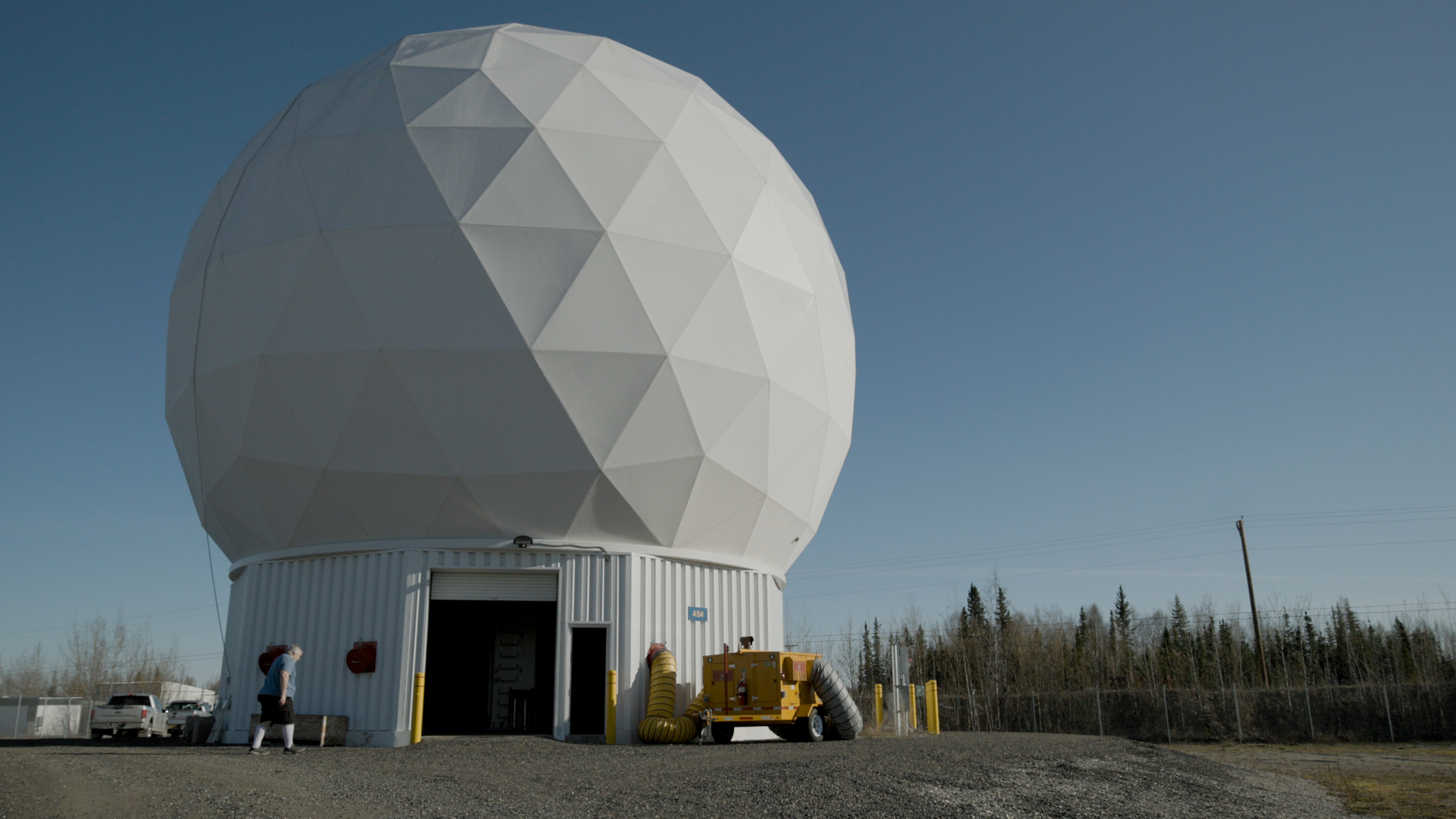
ASF is one of NASA’s 11 Distributed Active Archive Centers and has the task of archiving synthetic aperture radar data. It will archive and distribute all NASA-collected L-band SAR data and some selected S-band SAR data acquired over the U.S. The Indian Space Research Organization has its own distribution center and will distribute all S-band SAR data.
ASF is one of four facilities around the globe collecting NISAR data for NASA. Others are in Svalbard, Norway; Punta Arenas, Chile; and at NASA’s Wallops Flight Facility in Virginia.
NISAR focuses on how the planet’s surface changes from natural and human-related forces.
The mission’s goal is to monitor and measure surface changes such as land subsidence, glacier and ice sheet movement, and shifts caused by earthquakes, volcanoes and landslides. It can provide an improved understanding of sea level rise by monitoring the flow of glaciers and ice sheets into the ocean, though it won’t focus on the oceans.
The satellite, the most advanced ever, will provide more radar imagery and cover more surface area than other satellites and is the first to use dual-frequency synthetic aperture radar systems. The mission combines NASA’s L-band radar and ISRO’s S-band radar technology.
“With NISAR we will be much better at describing how displacements evolve over time than is possible with current L-band missions, especially on a global scale,” said Franz Meyer, the Alaska Satellite Facility’s chief scientist.
Meyer is also a member of the NISAR science team and a geophysics professor with the UAF College of Natural Science and Mathematics, specializing in remote sensing.
The L-band radar will cover nearly all of Earth’s land surfaces, glaciers and coastal regions twice every 12 days. NASA is providing this instrument, along with the GPS receivers, data recorder, and science communications system.
“It will have a massive scientific impact, because it feeds into not just one science discipline but a whole range of them,” Meyer said. “It’s also massive in terms of the data volume.”
NISAR will generate about 40 petabytes of data annually. That compares to the 2 petabytes ASF archives annually from the European Space Agency’s Sentinel-1 satellite, the largest data volume currently from any of the satellites ASF holds in its archives.
One petabyte equals about 1,000 terabytes or 1 million gigabytes. Modern personal computers typically have 256 gigabytes to several terabytes of storage.
“We’ve known for a long time that NISAR will bring data volumes that we haven’t seen before,” Meyer said. “We spent many years with NASA’s Jet Propulsion Laboratory and NASA thinking about how to make this dataset accessible to the community so that they can use it in a meaningful way. Everything we do these days is designed with this goal in mind.”
Albright said Wednesday’s launch marks a new chapter in Earth science.
“The launch and the satellite are tremendous technical achievements,” he said. “Now we wait for the data that we know will provide great advances in understanding our planet.”
• Wade Albright, University of Alaska Fairbanks Geophysical Institute, rwalbright@alaska.edu
• Franz Meyer, University of Alaska Fairbanks Geophysical Institute, fjmeyer@alaska.edu
• Rod Boyce, University of Alaska Fairbanks Geophysical Institute, 907-474-7185, rcboyce@alaska.edu