
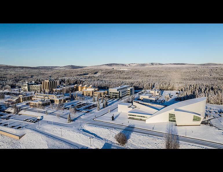

Alaska climate report: November anything but normal
November brought two wildly differing snow stories to Alaska, according to the monthly summary from the Alaska Climate Research Center at the University of Alaska Fairbanks Geophysical Institute.
Much of Alaska saw unusually low snowfall in November, but Anchorage was hit with its first major snowstorms of the season. Those storms briefly pushed the area’s snowpack to well above normal.
The climate center released its November summary earlier this month.
“November was a reminder of how variable Alaska’s early winter weather can be,” said ACRC Director Martin Stuefer, who is also the Alaska state climatologist. “From record-low sea ice for the season to dramatic swings in temperature and highly variable snowfall, the month was anything but typical.”
Stuefer is concerned about avalanche danger in some areas.
“November built a fragile snow foundation in parts of Alaska’s snowpack, which may lead to critical avalanche danger locally,” he said.
The Chugach Avalanche Center has been cautioning about tricky avalanche conditions in the Turnagain Pass and Summit Lake area. The center reports a widespread weak layer is buried within the snowpack and that glide avalanche activity is continuing.
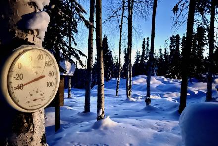
November did bring a mix of mild early season weather, except for a sharp cold snap across Western Alaska, the Interior and Southcentral during the second week of the month.
A Gulf of Alaska storm system brought snow showers and strong winds to Southcentral Alaska. Winter weather and high wind advisories were issued for much of the region.
A coastal flood advisory was put in place for the Kuskokwim Delta, where stormy conditions caused the late-November suspension of recovery efforts from damage caused by ex-Typhoon Halong. The storm system continued to Southeast Alaska, where over two days snowfall ranged from 7 to 15 inches, with some of the heaviest snow reported in the White Pass area.
Stormy conditions plagued the southern half of Alaska for most of November.
“November weather was generally characterized by a recurring mix of strong winds, snow, freezing rain, and a few days of very dense fog in parts of Southeast and Southcentral Alaska,” the summary reads.
Other November highlights:
- November saw only one community set a temperature record. Congratulations to the Alaska Peninsula community of Cold Bay, which set a record high daily minimum temperature of 43 degrees Fahrenheit on Nov. 30. That breaks the previous record of 40 degrees set on that date in 2007.
- Warmer autumn temperatures and increases in early winter river discharge caused less reliable ice formation, reducing the safety of early-season travel and recreation. Three serious incidents linked to unsafe river ice occurred in November.
- November was dry for most of Alaska, particularly in the west and parts of the Interior. Bettles and Talkeetna were the driest stations in relative terms with only 18% and 32% of their normal monthly precipitation, respectively. The Southwest and the Gulf of Alaska Coast were near normal or moderately dry.
- Arctic sea ice extent continued its seasonal growth in November, but growth rates have slowed. Sea ice has been near record low levels since about mid-November.
Rod Boyce, University of Alaska Fairbanks Geophysical Institute, 907-474-7185, rcboyce@alaska.edu
Martin Stuefer, director, Alaska Climate Research Center, mstuefer@alaska.edu