Skip to main content
Shop
Donate
UA Directory
Intranet
Quick Links
Geophysical Institute
Main navigation
Home
About
Contact Information
Contact
UAF Directory
Visitor Information
About the GI
Community
GI Publications
Timeline
GI Quarterly
People
Leadership
Researchers
Graduate Student Researchers
Emeriti
Research
Atmospheric Sciences
Remote Sensing
Seismology & Geodesy
Snow, Ice & Permafrost
Space Physics & Aeronomy
Tectonics & Sedimentation
Volcanology
Facilities & Labs
Services
Design & Printing
GI Human Resources
Education Outreach
Instrument Development
Keith B. Mather Library
Research Computing Systems
News & Info
News
Alaska Science Forum
Alaska Science Pod
Science for Alaska
Aurora Forecast
Visitor Information & Tours
Events
Community
Student Info
Intranet
Search
Breadcrumb
Home
/
News
Filter By Year
- Any -
2026
2025
2024
2023
2022
2021
2020
2019
2018
2017
2016
2015
2014
2013
2012
2011
2010
Article Type
- Any -
Read
Explore
Research Group
- Any -
Atmospheric Sciences
Remote Sensing
Seismology & Geodesy
Snow, Ice & Permafrost
Space Physics & Aeronomy
Tectonics & Sedimentation
Volcanology
Facility/Lab
- Any -
Alaska Center for Unmanned Aircraft Systems Integration (ACUASI)
Alaska Climate Research Center (ACRC)
Alaska Critical Minerals Collaborative (ACMC)
Alaska Earthquake Center (AEC)
Alaska Satellite Facility (ASF)
Alaska Space Grant Program (ASGP)
Alaska Volcano Observatory (AVO)
Advanced Instrumentation Laboratory (AIL)
Arctic Coastal Geoscience Lab (ACGL)
College International Geophysical Observatory (CIGO)
Geochronology Laboratory (Geochron Lab)
Geographic Information Network of Alaska (GINA)
Geophysical Institute Permafrost Laboratory (GIPL)
High-frequency Active Auroral Research Program (HAARP)
Hyperspectral Imaging Laboratory (HyLab)
Poker Flat Research Range (PFRR)
Wilson Alaska Technical Center (WATC)
Cahill to lead university’s unmanned aircraft center
January 13, 2016
University of Alaska Fairbanks atmospheric chemistry professor Catherine Cahill is the new director of the Alaska Center for Unmanned Aircraft...
Read more
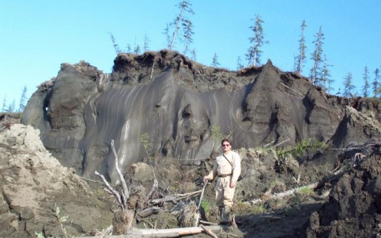
North Slope permafrost thawing sooner than expected
December 10, 2015
New projections of permafrost change in northern Alaska suggest far-reaching effects will come sooner than expected, scientists reported this...
Read more
Arctic scientist to map space weather from Antarctica
November 16, 2015
A University of Alaska Fairbanks scientist is sending two devices to Antarctica to measure winds and temperatures in space more than 100 miles...
Read more
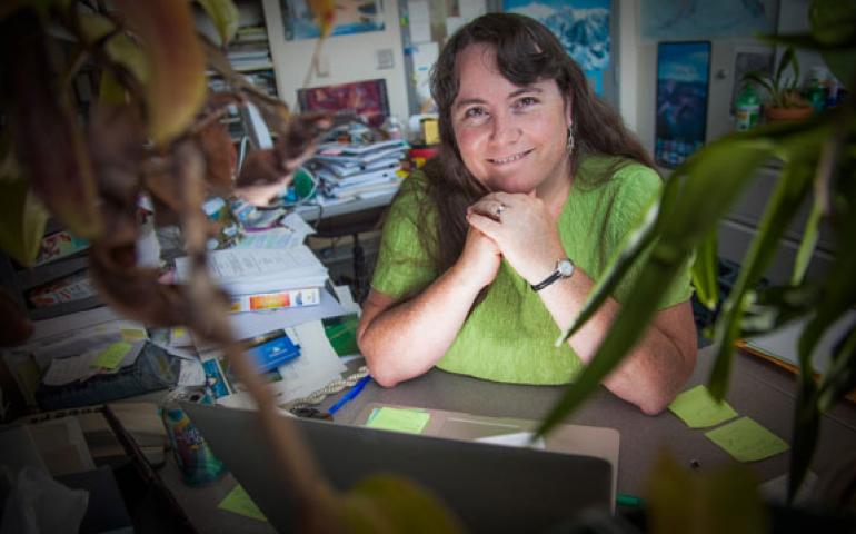
Project aims to increase number of women in geophysics
October 9, 2015
The University of Alaska Fairbanks will begin a study designed to encourage high school-age girls to consider geophysics and technology science...
Read more
UAF students track launch of satellite they built
October 8, 2015
A small research satellite designed and built by University of Alaska Fairbanks students is among 13 launched early Thursday morning from...
Read more
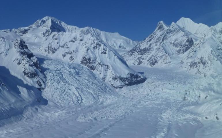
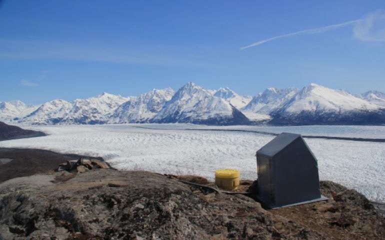
Half of Alaska’s glaciers could be gone by 2100
September 27, 2015
A new study predicts that Alaska’s glaciers will lose 30 to 60 percent of their volume and contribute half an inch to 1 inch to global sea level...
Read more
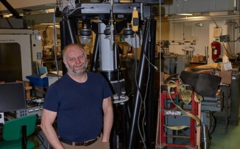
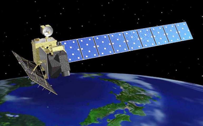
Researchers gain access to data at satellite facility
September 24, 2015
A new agreement between the United States and Japan gives international researchers unrestricted access to a type of radar imagery data archived...
Read more
Alaska benefits from growing number of seismic stations
September 23, 2015
Alaskans can plan better for earthquakes following the installation of almost 90 new high-grade seismic instruments capable of measuring minute...
Read more
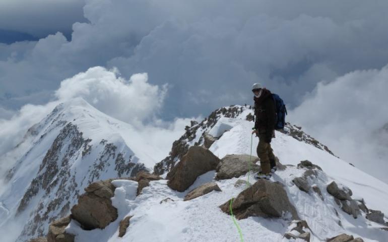
Revised Denali elevation announced
September 2, 2015
Denali has been downsized by 10 feet as a result of data captured during an expedition this past summer. The elevation of North America’s tallest...
Read more
Load More