

Revised Denali elevation announced
Denali has been downsized by 10 feet as a result of data captured during an expedition this past summer.
The elevation of North America’s tallest peak is now estimated to be 20,310 feet. The previous elevation, established using 1950s-era technology, was 20,320 feet.
Surveying technology and processes improved significantly since the last survey and enabled scientists to establish a much more accurate height.
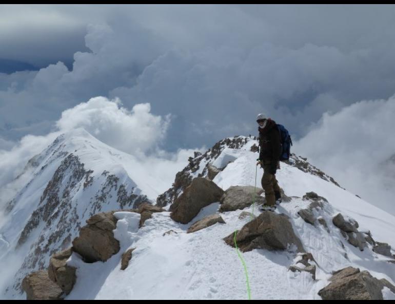
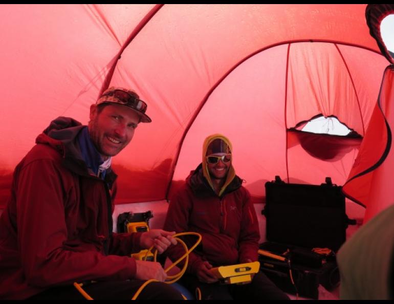
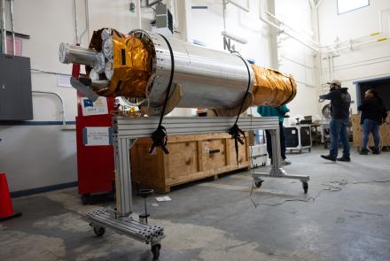
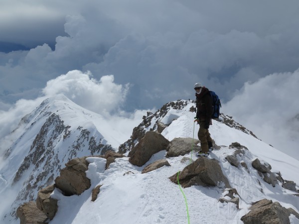
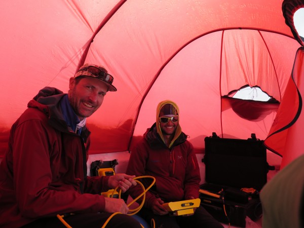
Tom Heinrichs, director of the Geographic Information Network of Alaska at the University of Alaska Fairbanks Geophysical Institute, climbed the mountain in June with a survey party led by CompassData, a private contractor hired by the U.S. Geological Survey. The team of four experienced climbers carried survey-grade global positioning system equipment weighing about 50 pounds, including batteries. On June 24, they placed the equipment on the summit to gather data. They left the equipment on the summit for about 25 hours, then came back to retrieve it.
After the climbers successfully descended the mountain, teams from CompassData, the University of Alaska Fairbanks and the National Geodetic Survey independently processed the survey data. The teams met to compare preliminary results and found they were very consistent.
The Department of the Interior’s USGS announced Denali’s new elevation Wednesday, Sept. 2. The expedition was funded by the USGS and by the NGS, a division of the National Oceanic and Atmospheric Administration in the U.S. Department of Commerce.
Surveyors, mappers, geodesists and other scientists, as well as climbers and recreational hikers from around the world, have long wanted to know the official elevation of Denali using new technologies. In 2013, a new analysis estimated the elevation at 20,237 feet. The number was based on data from an airborne interferometric synthetic aperture radar sensor. Ifsar is an extremely effective tool for collecting map data in challenging areas such as Alaska, but it does not provide precise spot or point elevations, especially in very steep terrain. The measurement was part of a greater project to collect revised elevation for the entire state under a national initiative called the 3-Dimensional Elevation Program.
“An accurate elevation of Mount McKinley is a source of national pride and will provide a better baseline elevation to be used in assessing change in the coming years,” said Suzette Kimball, acting USGS director. “So to establish a more accurate summit height, we decided to join with other federal and state partners and private industry to conduct a precise global positioning system measurement of a specific point at the mountain’s peak.”
Researchers wanted to establish a baseline for future investigations of whether the mountain and its ice and snow pack change significantly over time. Sturdy probes indicated the snow depth at the summit in June was 4.15 meters, or 13.6 feet.
One of the primary concerns was that the position equipment would not power on in the cold temperatures. Each piece of equipment was wrapped in closed-cell foam to provide insulation, and neither had any problems.
Work on Denali’s elevation, relative to sea level, continues.
“The NGS established the new elevation with respect to the North American Vertical Datum of 1988 (NAVD 88),” said Vicki Childers, chief of NOAA’s NGS Observation and Analysis Division. “NAVD 88 is the official vertical datum for Alaska in the National Spatial Reference System, a system that is defined and maintained by NGS to provide a consistent coordinate system across the entire United States. A new effort underway at NGS to modernize the NSRS by 2022 will incorporate an improved model of where the average sea level, or ‘zero’ elevation, is located; this will result in elevation values being more accurate with respect to mean sea level. As NGS builds this better reference system, the official elevation value for the summit in 2022 will likely be updated again to reflect an even more accurate representation of the surface.”
Sue Mitchell, University of Alaska Fairbanks Geophysical Institute, 907-474-5823, sue.mitchell@alaska.edu