
Flowing tongues of rock, ice and dirt
A few years ago, Ronald Daanen was driving north of Coldfoot on the Dalton Highway, looking for drunken trees. He pulled over when he saw some tipsy spruce on a hillside.
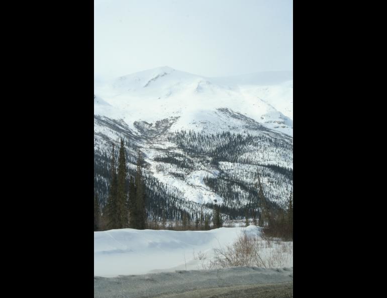
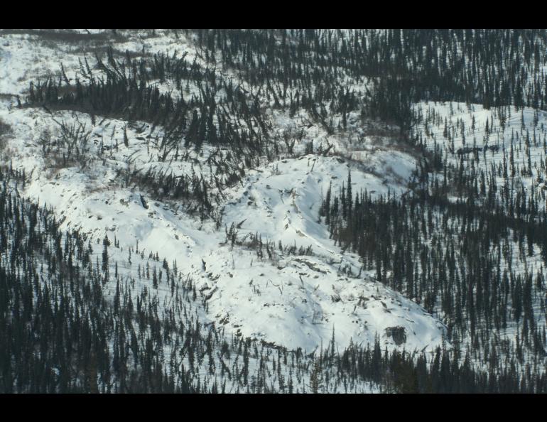
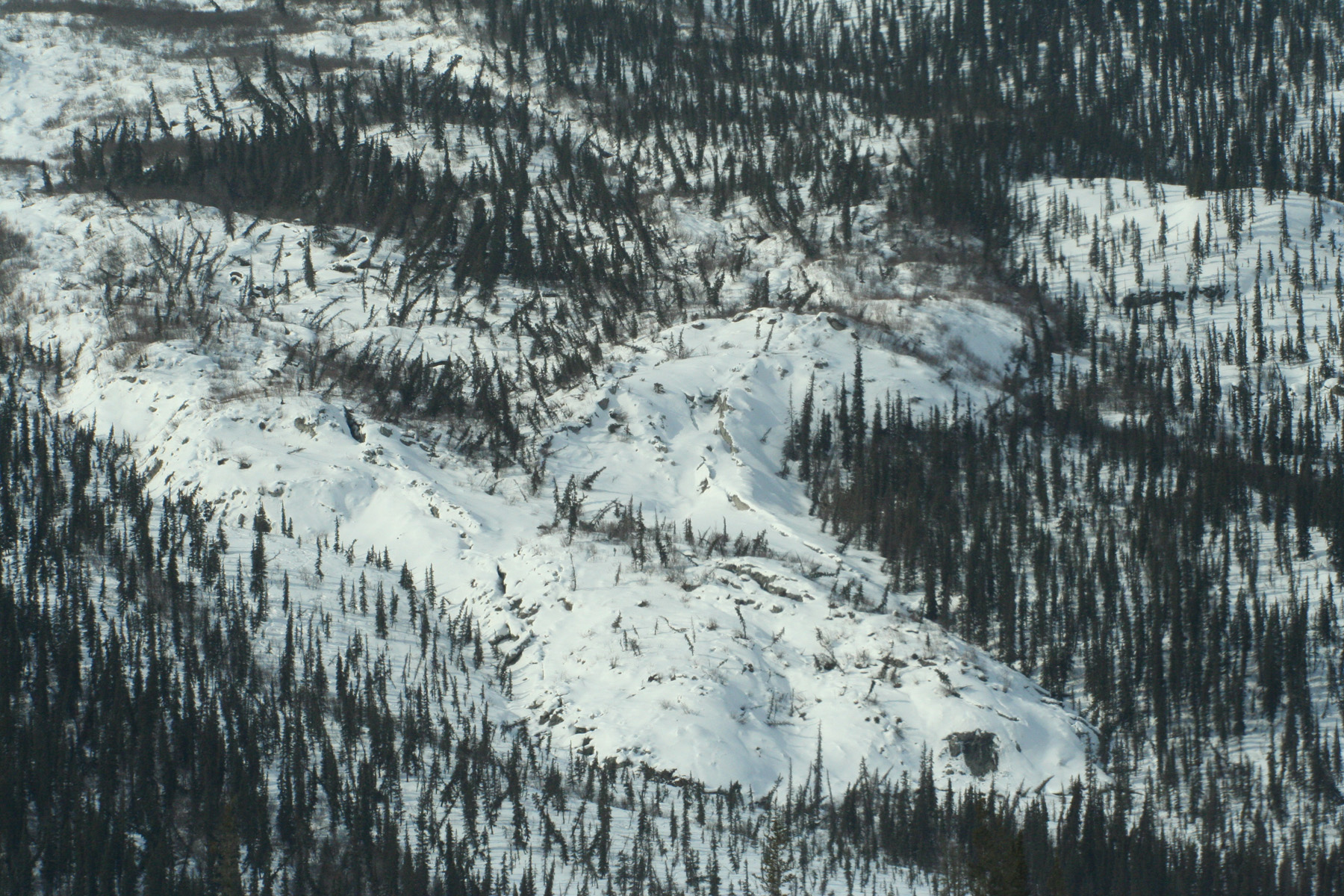
The University of Alaska Fairbanks scientist thought the tilted trees would be a classic sign of thawing permafrost, ground that has remained frozen through the heat of at least two summers. But these trees were part of something larger — a giant tongue of moving hillside that was oozing toward the Dalton Highway.
When covered in snow, the mass looks like a glacier covered with trees, but it’s not a glacier. Nor is it a rock glacier, a mass of rock and ice that slowly slips down mountains (there are several in the Alaska Range and the Wrangells).
Permafrost scientists have found three of them close to the road near Coldfoot and have seen several more along the highway south of Atigun Pass. Using Google imagery, they have found many more in the same area. Retired USGS geologist Tom Hamilton saw the same features as he mapped the geology of the area in the 1970s. Hamilton called them “flow slides.” Daanen and Guido Grosse of the University of Alaska Fairbanks’ Geophysical Institute are calling the features “debris flows.” In a paper they recently co-wrote, the scientists describe the phenomena as “an unusual form of mass movement.”
On a trip north a few springs ago, Daanen, Grosse and others punched through wet snowpack and climbed up on the lobes. They found huge cracks in the ground. Some of the trees were split at the base. The clues told them that the hill upon which they stood was moving, probably after a long period during which it didn’t budge (which allowed the spruce to grow tall there, at the northern edge of where spruce exist in Alaska).
“We were totally surprised,” Grosse said. “The flow is pushing over trees in front of the lobe and burying vegetation like a bulldozer.”
Using images from aerial photography and satellites, the researchers mapped three moving masses near Coldfoot that are creeping toward the Dalton Highway. Comparing snapshots from different years, they found that the lobes are now moving downhill about 3 meters (about 10 feet) per year.
Last spring, Daanen returned from a Dalton Highway road trip with GPS data that was a bit more dramatic.
“There’s one just south of the three we surveyed earlier that moved 10 meters (about 30 feet) during the last year alone,” Grosse said.
One of the clumps of drunken trees and moving soil is now within 75 meters (about 225 feet) of the Dalton Highway. It’s moving slower than the fastest flow, but might speed up.
“If it accelerates to 10 meters per year, like the other one did, it will hit the road within eight years,” Grosse said. “If the rate stays like it is, it will hit the road in 25 years, which is still pretty fast in geological terms.”
The flow hasn’t yet plowed into the Dalton Highway’s right-of-way, but its fine silt washing downstream is filling culverts and hinting of high maintenance costs to come. Though on a much smaller (and slower) scale, the northern debris flows are like the advance of Black Rapids Glacier toward the Richardson Highway in the 1930s. Black Rapids shrunk backward before it crossed the highway, but there’s no sign that the bulldozed mounds descending upon the Dalton will do the same.
“I’m not aware of any glacier so close to infrastructure,” Grosse said.
The researchers are seeking funding to find out more about the northern tongues of rock, ice, and silt, which have so far defied traditional scientific explanation.
“I still believe these features are different, although I have a hard time convincing the established researchers in the field,” Daanen said.


