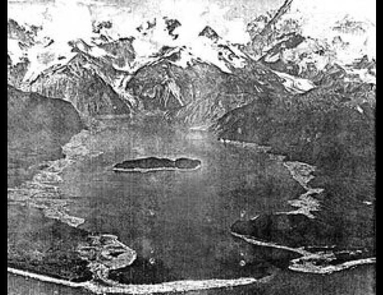
Lituya Bay
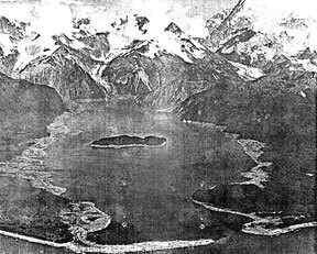
T-shaped Lituya Bay is an accident of Nature that perhaps shouldn't have happened. But it is the only haven for seafarers facing the open sweep of the Pacific on the passage north from Cross Sound to Yakutat. Many are the sailors who have avoided hours of difficult sea or being storm-battered against the rocky coast by entering the entrance to Lituya Bay at slack flood tide, the only time for safe passage.
Gouged out of steep mountains abutting the sea, Lituya Bay is a place of unusual beauty. The French explorer La Perouse hoped to make it France's base in Alaska and named it Port of France. He described it as "perhaps the most extraordinary place in the world."
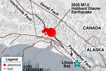
The crossbar part of Lituya Bay is the glacier-filled trench of the Fairweather fault, an active break slicing through the mountains roughly parallel to the coast. At some time in the recent past, a weakness in the rock strata allowed a breach to develop connecting the Fairweather trench to the ocean, and so Lituya Bay was formed. Of Lituya Bay's weird grandeur La Perouse said, "I never saw a breath of air ruffle the surface of this water; it is never troubled but by the fall of immense blocks of ice, which continually detach themselves from fine glaciers, and which in falling make a noise that resounds far through the mountains. The air is so calm that the voice may be heard half a league [2-3 miles] away."
Something had to be wrong with this northern Shangri-La, and La Perouse soon learned that there was. On July 13, 1786, La Perouse's "calm waters" suddenly swallowed up 21 of his finest officers and men as they tried to sound the waters at the narrow entrance to Lituya Bay where currents as fast as 14 mph flow. None of the bodies were recovered, but La Perouse built a monument to the lost persons on Lituya Bay's central island. He aptly named the place Cenotaph (meaning empty tomb) Island.
Nor was this the only example of Lituya's potential for terror. The seismic forces that built the bay have repeatedly displayed their power. Earthquakes on the active Fairweather fault probably caused the giant water waves which swept down the bay in 1853 or 1854, about 1874, and in 1936. The latest earthquake-caused wave on July 8, 1958, reached a height greater than 100 feet. Speeding along at about 100 miles per hour, it swept right over the top of Cenotaph Island. It also sank two fishing vessels, and drowned the man-and-wife crew of one.

