More Alaska news from a gathering of scientists
Here are some more Alaska nuggets gathered while wandering the cavernous halls of San Francisco’s Moscone Center. More than 16,000 scientists met there in December 2008 for the fall meeting of the American Geophysical Union.
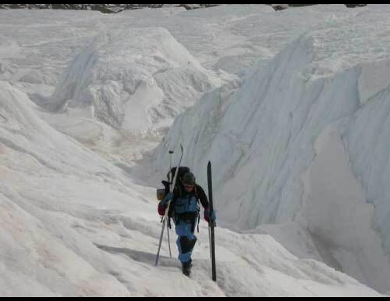
Keith Echelmeyer flew his Super Cub the equivalent of about halfway around the world while flying down Alaska glaciers from 1999 to 2001, and that didn’t include his trips getting to and from the glaciers. The retired Geophysical Institute professor was taking measurements of the glacier’s elevations with a laser system installed in his plane, and the heights he recorded have allowed researchers like Chris Larsen and his colleagues at the Geophysical Institute to determine that much of Alaska’s low-lying ice is disappearing at twice to three times the rate it was a few years ago. The Harding Icefield capping the Kenai Peninsula, for example, has shrunk at the rate of about four feet a year recently, up from about two feet each year from 1994-2001.
From 2003 to 2007, mountain glaciers draining into the Gulf of Alaska each year lost meltwater equal to about five times the average flow of the Colorado River through the Grand Canyon, according to scientists who study information from two satellites used in NASA’s Gravity Recovery and Climate Experiment. But one of those scientists, Anthony Arendt of UAF’s Geophysical Institute, also showed that glaciers in mountainous areas of Alaska grew an unusual amount during the winter of 2007 and 2008 due to heavy snowfalls. Combine that winter snow with the cool summer of 2008 and most glaciers had a net gain in mass during the 2007-2008 season.
A tsunami generated by the great Alaska earthquake of 1964 flooded 29 city blocks in Crescent City, California, and killed 11 people there. Lori Dengler of Humboldt State University presented research showing that Crescent City is even more vulnerable to tsunamis today because of a small boat harbor built there in the early 1970s. The harbor “enhances Crescent City’s tsunami vulnerability” due to its large basin and small mouth. In 2006 a magnitude 8.3 earthquake between Hokkaido and the Kamchatka Peninsula created a tsunami that caused $9.2 million in damages to docks and small boats. “Crescent City recorded the highest amplitude of any tide gauge in the Pacific and was the only location to experience damage,” Dengler wrote.
Scientists sometimes refer to changes in Barrow’s temperature during the last few decades as a sign of northern warming, but people should be aware of manmade changes that have affected temperature readings there, said Anna Klene of the University of Montana. Barrow shows an average warming of 4.2 degrees F from 1949 to 2007, according to the Alaska Climate Research Center, but Klene noted on a poster that “small changes (in temperature) over time are often of similar magnitude to those which can be caused by . . . instrument bias and change, (weather) station moves, urbanization, etc.” She pointed out that Barrow’s official weather station moved closer to the airport in 1987, and Barrow’s “heat island” effect has grown over the years.
In case you were wondering, Alaska has about 140 volcanoes, 52 of which have been active since the year 1760, according to a count by Cheryl Cameron of the Alaska Volcano Observatory.
While flying from Alaska to San Francisco, Chris Nye, also of the Alaska Volcano Observatory, looked out the jet window at clusters of houses in the Lower 48. He wondered how much land it would take to accommodate everyone if they lived with the elbowroom we have here in Alaska (more than two square kilometers per person). He calculated that the people in America would need the land area of about five Earths to live at Alaska standards, and if everybody on the planet desired our space, it would take the land area of more than 100 Earths to fill that request.


