Satellite-based remote sensing by radar can reveal the world around us.
It’s called synthetic aperture radar, commonly referred to as SAR, and it has been around for a while as a means of monitoring Earth’s surface in all weather and lighting conditions.
The technology behind it has developed rapidly, though, and NASA wants to spread its use.
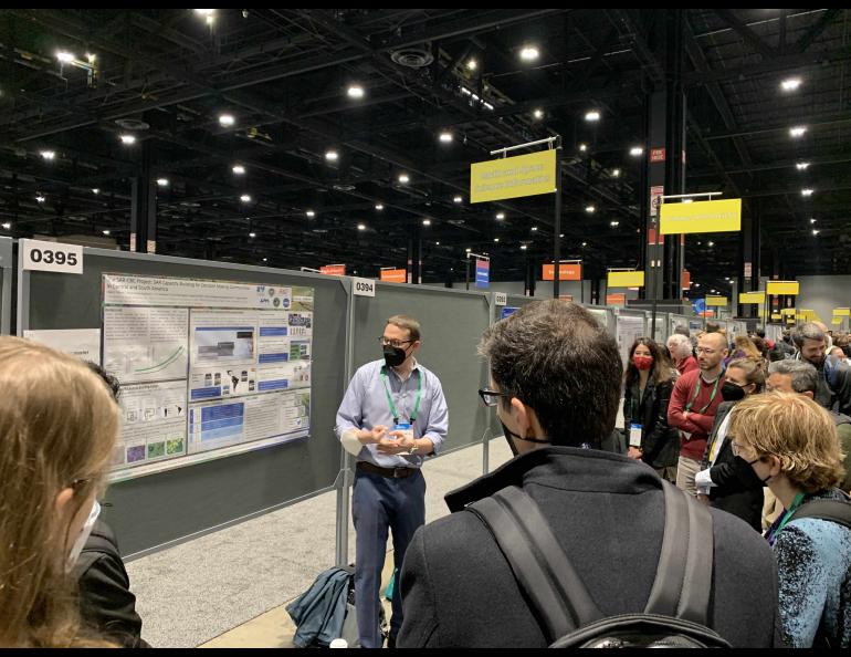
That NASA effort is something in which Franz Meyer, chief scientist of the Alaska Satellite Facility, is deeply involved.
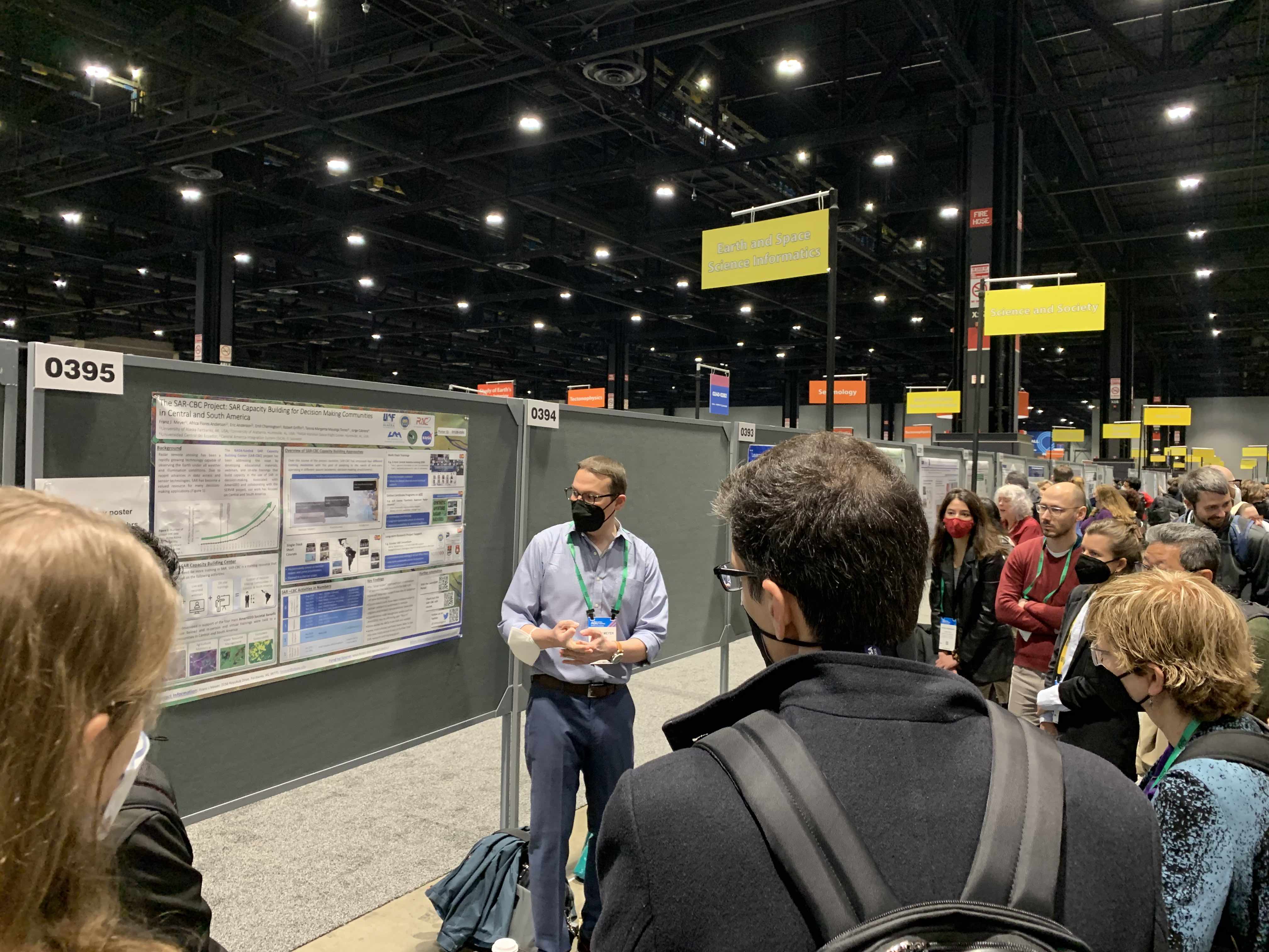
At the annual American Geophysical Union meeting in Chicago this month, Meyer will talk about the NASA-funded SAR Capacity Building Center of the University of Alaska Fairbanks.
The center is focused on Central and South America and has partnered with organizations in Ecuador, Colombia and El Salvador.
“If you look at their geographic location, they are heavily cloud covered, but they’re also affected by a lot of natural change, such as deforestation, flooding and volcanic eruptions,” said Meyer, who is also a professor of remote sensing. “So they are very interested in using SAR but were interested in understanding the workflows and understanding the data set better.”
The SAR Capacity Building Center held in-person workshops in Ecuador and Colombia before the COVID-19 pandemic. In 2020, because of the virus outbreak, it held a virtual multitrack workshop for El Salvador communities. And in November of this year it held training sessions for other communities in coordination with the Central American Integration System.
The Alaska Satellite Facility is a unit of the UAF Geophysical Institute and is also NASA’s center for archiving SAR data.