


Alaska Earthquake Center director at Congress: Renew three hazards programs
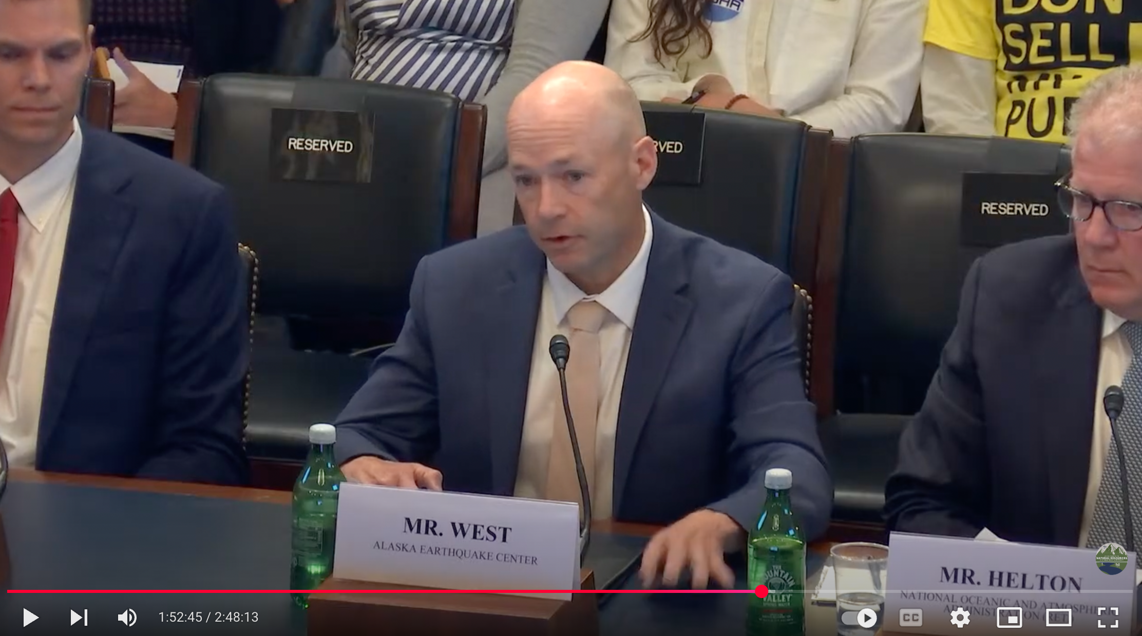
Reauthorizing federal programs that help warn of volcano eruptions, earthquakes and landslides is essential for reducing fatalities and the economic impact of those natural occurrences, Alaska Earthquake Center Director Michael West testified in Congress.
West was invited to testify in support of three bills being considered by a subcommittee of the House Committee on Natural Resources. Alaska Rep. Nick Begich is a member of that committee and of the subcommittee.
The committee in mid-May considered legislation to extend funding for the National Volcano Early Warning and Monitoring System, National Earthquake Hazards Reduction Program and National Landslide Preparedness Act.
“Each program tracks long-term patterns in the Earth,” West told the subcommittee. “How do you track long-term patterns? With long-term instrumentation and monitoring. With years of baseline data, it becomes possible to know when a hazard is developing or where it's most likely to occur.”
West said the programs build formal collaborations between federal agencies, universities and state geological surveys.
West serves as state seismologist and has directed the Alaska Earthquake Center, a part of the UAF Geophysical Institute, since 2012. He has been a research faculty member at the University of Alaska Fairbanks since 2004.
He was with the Alaska Volcano Observatory prior to joining the earthquake center. The volcano observatory is a joint program of the UAF Geophysical Institute, the Alaska Division of Geological and Geophysical Surveys and the U.S. Geological Survey.
West’s recent research focuses on landslide monitoring.
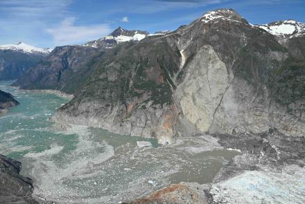
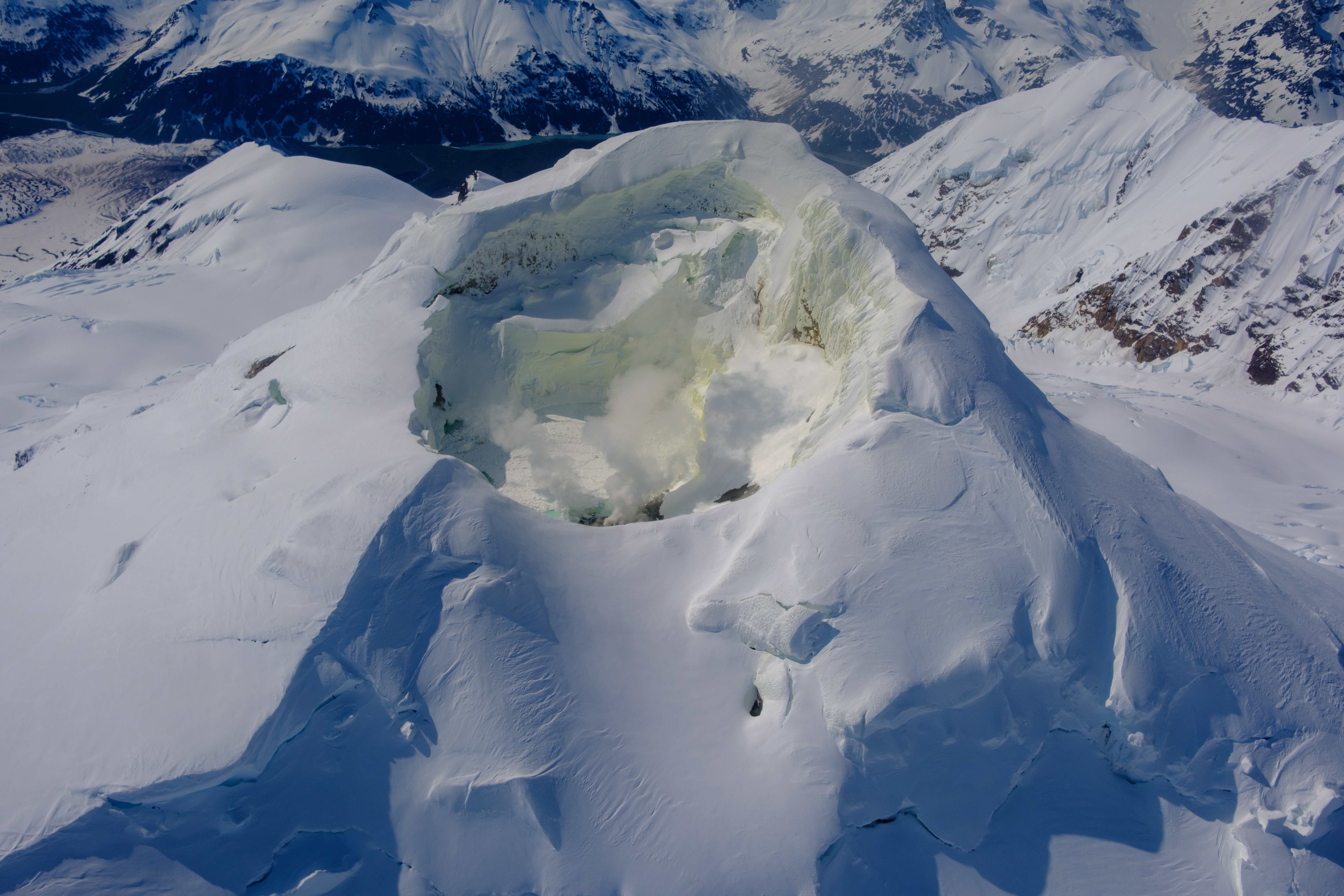
West cited real-world examples for subcommittee members: ongoing unrest at Mount Spurr volcano across Cook Inlet from Anchorage; landslides in Alaska, Washington state and California; and the National Seismic Hazard Map that shows expected shaking.
The map, led by the USGS, is produced as part of the National Earthquake Hazards Reduction Program.
“This is a scientific masterpiece that reflects 50 years of NEHRP,” West said. “This map informs hundreds of billions of dollars in infrastructure design. It drives insurance rates, building codes, land use decisions and emergency response.”
West added that the earthquake hazards program has more work to do, particularly with expanding its ShakeAlert system. Only California, Oregon and Washington have established ShakeAlert systems. Alaska’s is in progress.
On volcanoes, West noted the dangers of ash, lava flows, landslides and toxic gases. He added that many of the 58 high-threat U.S. volcanoes lack modern instruments and real-time monitoring, unlike at Mount Spurr.
“Over the past 16 months, together with other data, the Alaska Volcano Observatory has used these to issue increasingly detailed forecasts,” he told the subcommittee.
West noted that landslides are becoming a “near-annual” occurrence in Alaska. He said the National Landslide Preparedness Act empowers the USGS and state agencies to map, monitor and respond to landslides nationwide.
“Earthquakes, volcanoes, landslides — they're part of the planet on which we live,” he said. “We can't make them go away, but the surest way to minimize their impacts — human and financial — is to update and reauthorize the bills.”
• Michael West, Alaska Earthquake Center, mewest@alaska.edu
• Rod Boyce, University of Alaska Fairbanks Geophysical Institute, 907-474-7185, rcboyce@alaska.edu