
Recent Posts
New exhibit explores Earth’s changes and beauty through radar data
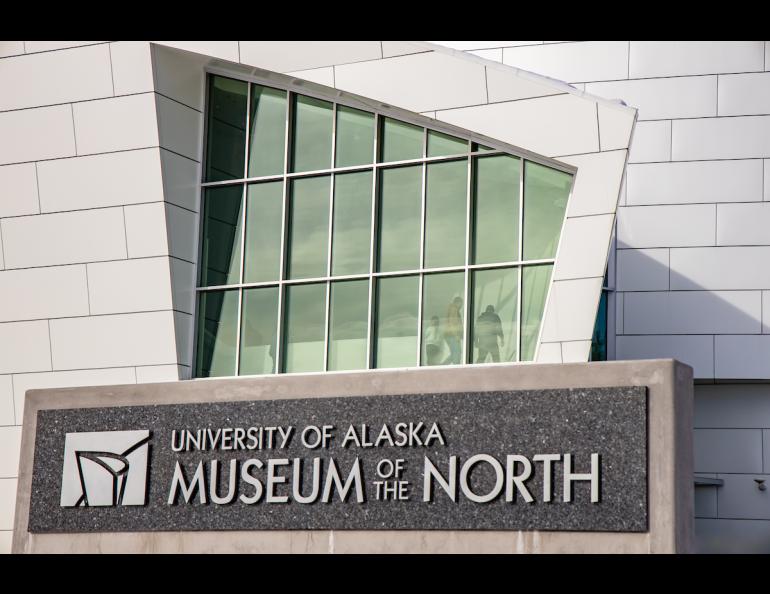
The University of Alaska Museum of the North and Alaska Satellite Facility are presenting a new exhibit to showcase how synthetic aperture radar data is received and distributed and benefits the public.
The exhibit, titled “Observing our Dynamic Planet,” opens May 24 and will run through the 2026 New Year’s holiday.
Researchers around the world use synthetic aperture radar, or SAR, data to study global and local changes to Earth.
“The exhibit is structured around all these ideas — of agriculture, forestry, permafrost, flooding, volcanoes, earthquakes, glaciers — and the different ways we've studied Earth using these sensors,” said Roger Topp, the museum’s exhibits director.
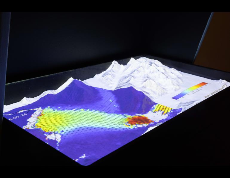
The exhibit includes dozens of satellite images, along with information about satellites and the Alaska Satellite Facility, which is part of the University of Alaska Fairbanks Geophysical Institute.
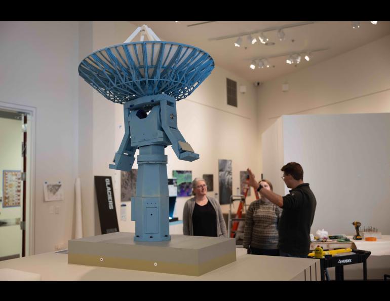
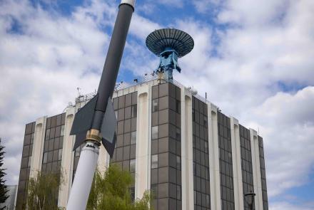
The exhibit will also feature a model of the European Space Agency’s Sentinel-1 satellite and a 4-foot one-tenth scale replica of the AS-2 antenna and upper floors of the UAF Elvey Building, home of the Geophysical Institute.
“We’re excited to have the exhibit because the Alaska Satellite Facility is quite visible in the global science community, but most of our local community doesn’t know much about us,” ASF Director Wade Albright said.
“I’m looking forward to showing the community the cool and interesting things we're doing.”
Albright said he also wants visitors to understand the importance of synthetic aperture radar, which can penetrate clouds, trees and sea ice, for example. It works in all weather conditions.
Synthetic aperture radar is of particular benefit in places such as Alaska, where access on the ground can be difficult and the lengthy darkness of Arctic nights greatly limits optical observation.
“It’s useful for understanding the environment around us,” Albright said. “It’s useful in monitoring ice jams as rivers break up, for monitoring sea ice, for viewing landfast ice in the coastal regions.”
“It can show flood extents and is useful for tracking forest fires,” he said.
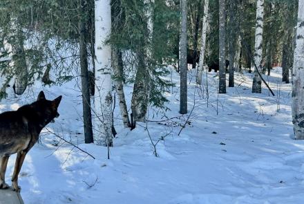
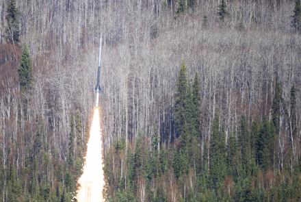
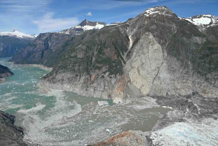
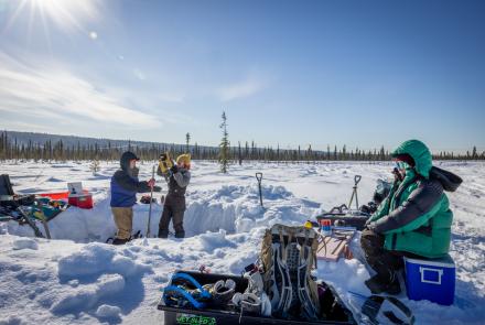
More than 60 images collected worldwide from SAR and other Earth observation satellites will be displayed throughout the exhibit in the Museum of the North.
Is the exhibit science or art? Or both?
“Being around SAR for the last 30 years, I think there’s lots of beautiful aspects to it,” Albright said. “Earth is a wonderful medium for art. Our planet has tremendous opportunities for just appreciating its beauty. Synthetic aperture radar can help illuminate that.”
• Jessica Ramos, Alaska Satellite Facility, jaramos2@alaska.edu
• Roger Topp, Museum of the North, rmtopp@alaska.edu
• Rod Boyce, University of Alaska Fairbanks Geophysical Institute, 907-474-7185, rcboyce@alaska.edu