Skip to main content
Shop
Donate
UA Directory
Intranet
Quick Links
Geophysical Institute
Main navigation
Home
About
Contact Information
Contact
UAF Directory
Visitor Information
About the GI
Community
GI Publications
Timeline
GI Quarterly
People
Leadership
Researchers
Graduate Student Researchers
Emeriti
Research
Atmospheric Sciences
Remote Sensing
Seismology & Geodesy
Snow, Ice & Permafrost
Space Physics & Aeronomy
Tectonics & Sedimentation
Volcanology
Facilities & Labs
Services
Design & Printing
GI Human Resources
Education Outreach
Instrument Development
Keith B. Mather Library
Research Computing Systems
News & Info
News
Alaska Science Forum
Alaska Science Pod
Science for Alaska
Aurora Forecast
Visitor Information & Tours
Events
Community
Student Info
Intranet
Search
Breadcrumb
Home
/
News
Filter By Year
- Any -
2026
2025
2024
2023
2022
2021
2020
2019
2018
2017
2016
2015
2014
2013
2012
2011
2010
Article Type
- Any -
Read
Explore
Research Group
- Any -
Atmospheric Sciences
Remote Sensing
Seismology & Geodesy
Snow, Ice & Permafrost
Space Physics & Aeronomy
Tectonics & Sedimentation
Volcanology
Facility/Lab
- Any -
Alaska Center for Unmanned Aircraft Systems Integration (ACUASI)
Arctic and Homeland Defense Center University Affiliated Research Center (AHDC UARC)
Alaska Climate Research Center (ACRC)
Alaska Critical Minerals Collaborative (ACMC)
Alaska Earthquake Center (AEC)
Alaska Satellite Facility (ASF)
Alaska Space Grant Program (ASGP)
Alaska Volcano Observatory (AVO)
Advanced Instrumentation Laboratory (AIL)
Arctic Coastal Geoscience Lab (ACGL)
College International Geophysical Observatory (CIGO)
Geochronology Laboratory (Geochron Lab)
Geographic Information Network of Alaska (GINA)
Geophysical Institute Permafrost Laboratory (GIPL)
High-frequency Active Auroral Research Program (HAARP)
Hyperspectral Imaging Laboratory (HyLab)
Poker Flat Research Range (PFRR)
Wilson Alaska Technical Center (WATC)
Researchers gain access to data at satellite facility
September 24, 2015
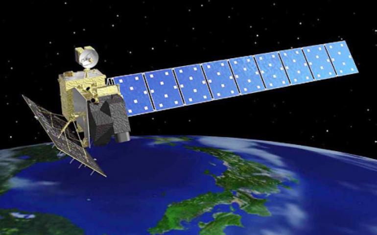
A new agreement between the United States and Japan gives international researchers unrestricted access to a type of radar imagery data archived...
Read more
Alaska benefits from growing number of seismic stations
September 23, 2015
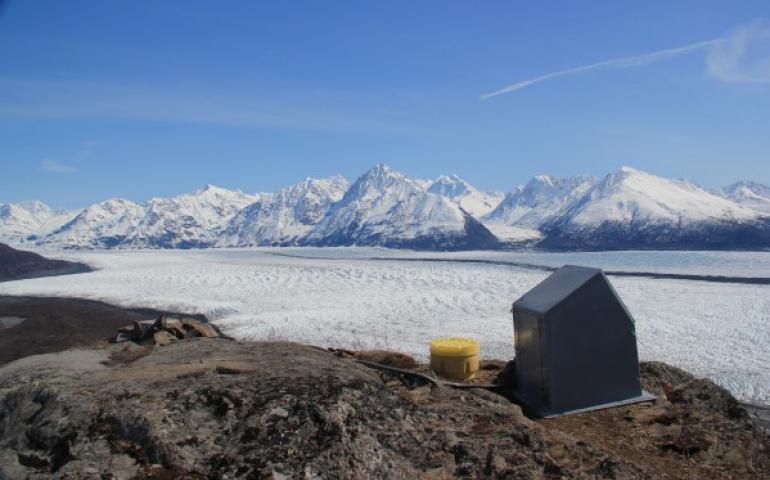
Alaskans can plan better for earthquakes following the installation of almost 90 new high-grade seismic instruments capable of measuring minute...
Read more
Revised Denali elevation announced
September 2, 2015
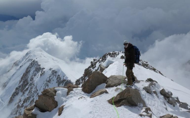
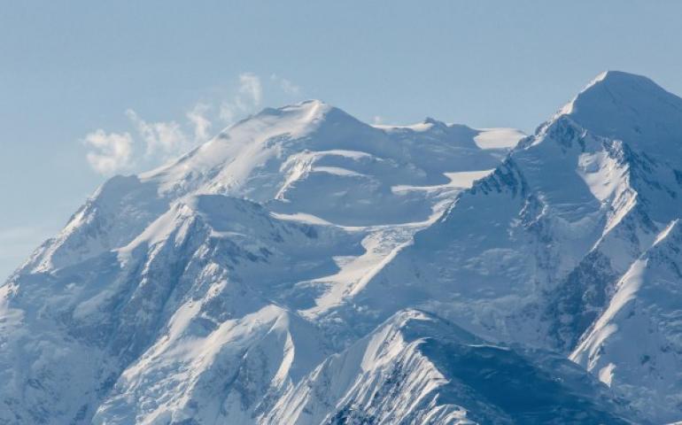
Denali has been downsized by 10 feet as a result of data captured during an expedition this past summer. The elevation of North America’s tallest...
Read more
UAF professor leads Arctic ecosystem science initiative
August 19, 2015
University of Alaska Fairbanks professor Vladimir Romanovsky has been named chief scientist for a U.S. Department of Energy initiative to study...
Read more
UAF professor leads Arctic ecosystem science initiative
August 19, 2015
University of Alaska Fairbanks professor Vladimir Romanovsky has been named chief scientist for a U.S. Department of Energy initiative to study...
Read more
UAF will host the next EarthScope National Office
August 4, 2015
The University of Alaska Fairbanks Geophysical Institute is the new host of the EarthScope National Office, the National Science Foundation has...
Read more
Team returns from Mount McKinley elevation survey climb
July 17, 2015
A team of four climbers has recently returned from the highest point in North America with new survey data to determine a more precise height of...
Read more
UAF researcher works on mission to Pluto
July 7, 2015
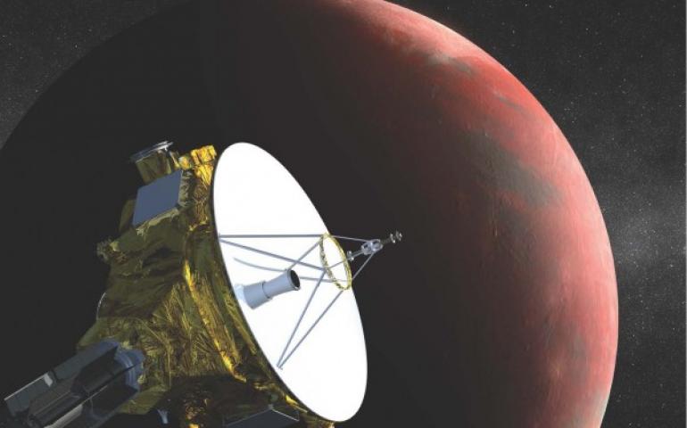
A researcher from the University of Alaska Fairbanks is part of a NASA mission to get close-up photos of Pluto. Peter Delamere, a space physicist...
Read more
Highest peak in North America to be surveyed
June 15, 2015
Several researchers plan to update the height of Mount McKinley this summer by climbing it with a global positioning system device. Tom Heinrichs...
Read more
App tells when it’s OK to build ice roads
June 4, 2015
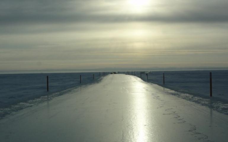
Alaska’s natural resource managers are using a web app developed at the University of Alaska Fairbanks to let oil field companies know when it’s...
Read more
Researchers study sea otters with unmanned aircraft
June 3, 2015
Watching marine life to gather data about behavior and abundance can be tedious and time-consuming for researchers, but recent studies indicate...
Read more
Federal certificate smoothes way for unmanned aircraft missions
May 28, 2015
A new federal certificate will allow the unmanned aircraft center at the University of Alaska Fairbanks to respond more rapidly to clients’...
Read more
Unmanned aircraft used to survey ice for whalers
May 20, 2015
Researchers used an unmanned aircraft to map the sea ice north of Barrow in April as part of a cooperative effort between the Native community of...
Read more
Researcher helps understand vast under-ocean waves
May 18, 2015
The University of Alaska Fairbanks lent both brain and supercomputing power to a recently published international study of the life cycle of...
Read more
Unmanned aircraft group part of FAA Center of Excellence
May 8, 2015
The University of Alaska Fairbanks is part of the team selected by the Federal Aviation Administration as a new National Center of Excellence for...
Read more
Hyperspectral device will benefit ecology, mineral research
May 4, 2015
A new mapping instrument at the University of Alaska Fairbanks Geophysical Institute creates such detailed images of the landscape that...
Read more
UAF aids Nepal relief effort with satellite information
April 29, 2015
Relief efforts in Nepal have a new source of vital satellite information through the University of Alaska Fairbanks. The Alaska Satellite...
Read more
Lecture explores changes among hunters, wildlife, habitat
February 18, 2015
Climate and landscape play a large part in successful large-game hunting across Alaska, and changes have challenged common hunting practices...
Read more
Pagination
Previous page
←
Previous
First page
1
Page
22
Page
23
Page
24
Page
25
Current page
26
Page
27
Page
28
Page
29
Page
30
Last page
30
Next page
Next
→