Skip to main content
Shop
Donate
UA Directory
Intranet
Quick Links
Geophysical Institute
Main navigation
Home
About
Contact Information
Contact
UAF Directory
Visitor Information
About the GI
Community
GI Publications
Timeline
GI Quarterly
People
Leadership
Researchers
Graduate Student Researchers
Emeriti
Research
Atmospheric Sciences
Remote Sensing
Seismology & Geodesy
Snow, Ice & Permafrost
Space Physics & Aeronomy
Tectonics & Sedimentation
Volcanology
Facilities & Labs
Services
Design & Printing
GI Human Resources
Education Outreach
Instrument Development
Keith B. Mather Library
Research Computing Systems
News & Info
News
Alaska Science Forum
Alaska Science Pod
Science for Alaska
Aurora Forecast
Visitor Information & Tours
Events
Community
Student Info
Intranet
Search
Breadcrumb
Home
/
News
Filter By Year
- Any -
2026
2025
2024
2023
2022
2021
2020
2019
2018
2017
2016
2015
2014
2013
2012
2011
2010
Article Type
- Any -
Read
Explore
Research Group
- Any -
Atmospheric Sciences
Remote Sensing
Seismology & Geodesy
Snow, Ice & Permafrost
Space Physics & Aeronomy
Tectonics & Sedimentation
Volcanology
Facility/Lab
- Any -
Alaska Center for Unmanned Aircraft Systems Integration (ACUASI)
Arctic and Homeland Defense Center University Affiliated Research Center (AHDC UARC)
Alaska Climate Research Center (ACRC)
Alaska Critical Minerals Collaborative (ACMC)
Alaska Earthquake Center (AEC)
Alaska Satellite Facility (ASF)
Alaska Space Grant Program (ASGP)
Alaska Volcano Observatory (AVO)
Advanced Instrumentation Laboratory (AIL)
Arctic Coastal Geoscience Lab (ACGL)
College International Geophysical Observatory (CIGO)
Geochronology Laboratory (Geochron Lab)
Geographic Information Network of Alaska (GINA)
Geophysical Institute Permafrost Laboratory (GIPL)
High-frequency Active Auroral Research Program (HAARP)
Hyperspectral Imaging Laboratory (HyLab)
Poker Flat Research Range (PFRR)
Wilson Alaska Technical Center (WATC)
Two NASA launches, one week: Another success at Poker Flat
October 23, 2026
Experiments on two rockets that launched into the night from Poker Flat Research on Monday and Wednesday will reveal more about how stars...
Read more
Your browser does not support the video tag.
Explore
Stellar insights
October 16, 2026
Two rocket missions will study how dying stars shape our galaxy
Read more
Two rockets set to launch from Poker Flat Research Range
October 16, 2026
Two sounding rockets will launch from Poker Flat Research Range as early as next week on separate missions studying some of the smallest...
Read more
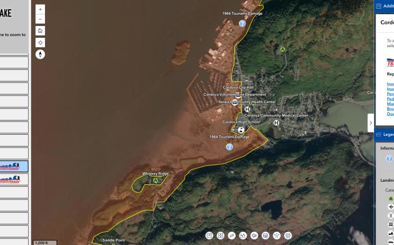
New interactive Alaska tsunami hazard map helps communities prepare
October 2, 2026
A new and interactive tsunami hazards tool created by the Alaska Earthquake Center brings evacuation information, hazard maps and other community...
Read more
Your browser does not support the video tag.
Explore
Ice flights
September 30, 2026
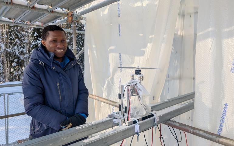
The 16-foot Supercooled Water Experimental Arctic Tower, or SWEAT, puts UAF on the leading edge of keeping drones airborne in winter
Read more
Drone research gets a lift from UAF ice tower
September 30, 2026
Traveling through any of Alaska’s major airports in winter usually means taking a shower. An aircraft de-icing shower. Ice buildup on wings...
Read more
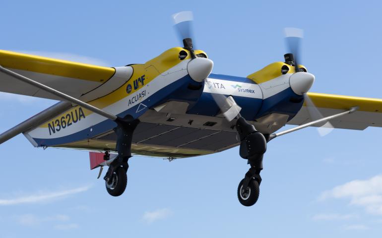
UAF drone program tests long-distance blood sample delivery
September 17, 2026
Alaska’s drone research program successfully completed a 1,000-kilometer test flight carrying human blood samples for the International Testing...
Read more
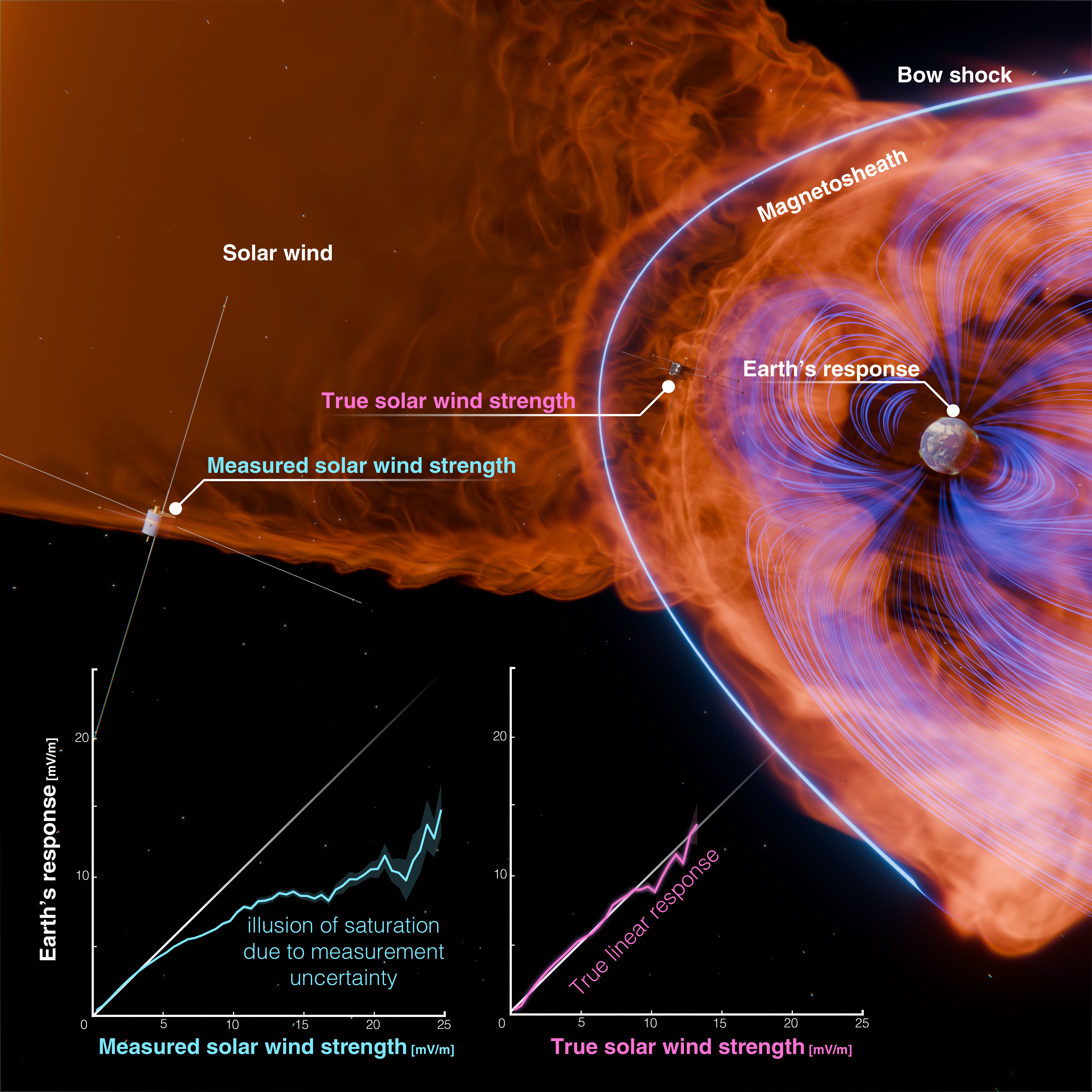
Extreme solar storms can hit Earth harder than thought
August 28, 2026
Scientists have greatly underestimated the impact an extreme solar storm can have on Earth, according to new research. A new way to account for...
Read more
Alaska Defense Forum 2026 focuses on community-military ties
August 21, 2026
Leaders in national defense, research and policy are gathering with local partners this week in Fairbanks for the annual Alaska Defense Forum...
Read more
Alaska climate report: A wet and cool July
August 13, 2026
Talkeetna got soaked. The community nearly 200 air miles south of Fairbanks had its wettest July in just over a century, according to the monthly...
Read more
Explore
A whisper from within
July 27, 2026
An unusual signal seconds ahead of an Alaska earthquake could help solve a seismic mystery
Read more
Alaska climate report: A quiet June … except for all that lightning
July 21, 2026
June was mostly a meteorologically mild month across Alaska, with temperatures near or slightly below normal. Precipitation was below average in...
Read more
National Science Foundation funds UAF-led critical minerals coalition
July 14, 2026
The U.S. National Science Foundation announced today that it will fund a major critical minerals project led by the University of Alaska...
Read more
Unusual seismic signal detected in 2025 central Alaska earthquake
July 7, 2026
An unusual seismic signal recorded less than a minute before a widely felt magnitude 4.2 earthquake in central Alaska may have given scientists a...
Read more
Explore
A history of Alaska's seismic monitoring
June 30, 2026
Tracking Alaska's ground motion started with a single station installed in 1904. A second station was established in Fairbanks in 1935.
Read more
Frozen Arctic lakes becoming less capable of supporting cargo aircraft
June 4, 2026
The ability to land a military cargo plane on a frozen Arctic lake is becoming less likely as a warming environment reduces the number of...
Read more
Geophysical Institute, Poker Flat Research Range announce summer tours
May 26, 2026
The University of Alaska Fairbanks Geophysical Institute is offering free public tours this summer to showcase some of its science facilities...
Read more
Alaska climate report: April brought sharp weather swings
May 18, 2026
April was a month of meteorological change in Alaska, as expected each year. What stood out this time, however, was the wide range of conditions...
Read more
Pagination
Previous page
←
Previous
Current page
1
Page
2
Page
3
Page
4
Page
5
Page
6
Page
7
Page
8
Page
9
Last page
31
Next page
Next
→