![Graduate student researcher Emily Fedders sits on top of an ice island with the portable interferometric radar. The ice island is in landfast sea ice on Alaska’s Arctic coast near Utqiaġvik. Photo courtesy of Andy Mahoney.](/sites/default/files/styles/full_article_image/public/2023-12/SeaIce2%20copy_0.jpg?itok=dA0Nm957)
![Graduate student researchers Claire Puleio left, and Valerie Wasser walk to another location to test for CO2 gas along Mt. Edgecumbe's summit, Wednesday, June 7, 2023, on Kruzof Island. UAF/GI photo by JR Ancheta.](/sites/default/files/styles/full_article_image/public/2023-12/0M3A7794%20copy_0.jpeg?itok=lG9wdGx6)
![Thermokarst terrain has been formed by beaver hydrologic engineering and permafrost thaw on Alaska’s Seward Peninsula in August 2021. Photo by Ken Tape.](/sites/default/files/styles/full_article_image/public/2023-12/Beavers3%20copy_0.jpg?itok=oJqzWTgz)
![UAF Geophysical Institute associate professor Ronni Grapenthin digs the seismometer hole at a new Alaska Volcano Observatory monitoring site on the northwest side of Mount Edgecumbe in late August 2023. Photo by Max Kaufman.](/sites/default/files/styles/full_article_image/public/2023-12/AVOEDNW%20copy_0.jpg?itok=gjZoUWFJ)
![The community of Chignik Bay, one of the project partners, is located on the Alaska Peninsula. Photo by Chris Maio.](/sites/default/files/styles/full_article_image/public/2023-12/ACC3%20copy_0.jpg?itok=PJ1iAkbG)
![A panorama photograph shows the payload portions of the NASA sounding rockets in the payload assembly area at Poker Flat Research Range. Photo by Rod Boyce](/sites/default/files/styles/full_article_image/public/2023-12/Poker1_0.jpg?itok=NrcJNVWl)
![A four-stage NASA sounding rocket launches from Poker Flat Research Range on Nov. 9, 2023. The rocket was carrying instruments for the Beam-Plasma Interactions Experiment. NASA photo by Lee Wingfield.](/sites/default/files/styles/full_article_image/public/2023-12/PokerBeam%20copy_0.jpeg?itok=IXpAaTVs)
![A pre-flood buildup of aufeis is seen as the leading cause of the chaotic flooding of the Sagavanirktok River in 2015. Photograph shows flooding at the end of the Dalton Highway near Deadhorse, Alaska, May 20, 2015 Alaska Department of Transportation & Public Facilities photo.](/sites/default/files/styles/full_article_image/public/2023-12/Sag1%20copy.jpeg?itok=DtNVngBD)
![The Sagavanirktok River flooded a wide area in northern Alaska during spring 2015 breakup. The Dalton Highway was closed for several days due to flood damage. Alaska Department of Transportation & Public Facilities photo.](/sites/default/files/styles/full_article_image/public/2023-12/Sag3%20copy.jpeg?itok=IKHd3fKr)
![This conceptual image reveals what the Kasei Valles region on Mars may have looked like 3 billion years ago. White areas are glaciers and blue represents ocean. Image by F. Schmidt/NASA](/sites/default/files/styles/full_article_image/public/2023-12/MarsOcean%20copy.jpeg?itok=ja0PzWmu)
![Visitors gather at the University of Alaska Fairbanks exhibitor booth at the AGU Fall Meeting 2022 in Chicago, IL. UAF GI Photo by Rod Boyce.](/sites/default/files/styles/full_article_image/public/2023-12/IMG_0481.jpeg?itok=w0klGdVH)
![NASA personnel at the Poker Flat Research Range payload assembly area work on the payload for the two-stage rocket for the Dissipation experiment. Photo by Rod Boyce](/sites/default/files/styles/full_article_image/public/2023-12/Dissip2%20copy.jpeg?itok=ewAIkApv)
![Geoff Reeves of Los Alamos National Laboratory stands in the Poker Flat Research Range payload assembly area with the upper portion of the four-stage NASA sounding rocket that will carry his Beam-PIE science instruments. Reeves is the experiment’s principal investigator. Photo by Rod Boyce](/sites/default/files/styles/full_article_image/public/2023-12/Beam1%20copy.jpeg?itok=fCRohPWD)
![A portable interferometric radar unit sits atop an ice island near Utqiaġvik, Alaska. Photo courtesy of Emily Fedders.](/sites/default/files/styles/full_article_image/public/2023-12/SeaIce1A%20copy.jpeg?itok=8dzv1Hai)
![David Newman. UAF photo by Todd Paris](/sites/default/files/styles/full_article_image/public/2023-12/DavidNewman%20copy.jpeg?itok=NWb2lw7W)
![Ph.D. student Sebin John presents his research on observing the impact of ocean storms and sea ice on seismic background noise across Alaska. Photo by Mike West](/sites/default/files/styles/full_article_image/public/2023-12/SSA%20photo%20copy.jpeg?itok=BEF-mo3v)
![Four members of an international science team led by the University of Alaska Fairbanks Geophysical Institute stand at the rim of Mount Edgecumbe volcano in Southeast Alaska in early June 2023. Photo by Rod Boyce.](/sites/default/files/styles/full_article_image/public/2023-12/Four%20on%20crater%20rim%20copy.jpeg?itok=GyuorESt)
2023: A year of continued research leadership by the UAF Geophysical Institute
2023, like the years and decades before it, showed the strength and significance of the University of Alaska Fairbanks Geophysical Institute as a leader in research, especially in Arctic research.
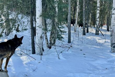
Geophysical Institute scientists — research faculty, graduate students and undergrads — study permafrost, ice, snow, sea ice, the depths of the Arctic Ocean, coastal erosion, seismicity and volcanology of Alaska, tectonics, the Arctic atmosphere, the aurora and other aspects of near-Earth space. And more. The Geophysical Institute is particularly strong in climate change research.
The year 2023 had it all. Here’s a sampling of the year’s research:
Research explains strength of earthquake shaking in Nenana Basin
FAA grants wide authority to UAF unmanned aircraft center
UAF research contributes to progress on fusion energy
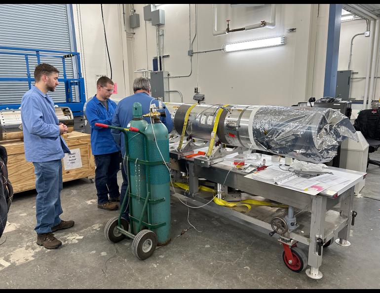
UAF researchers aiding NASA in developing Venus seismometer
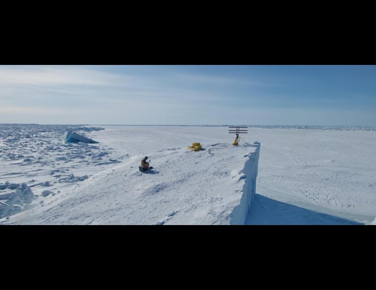
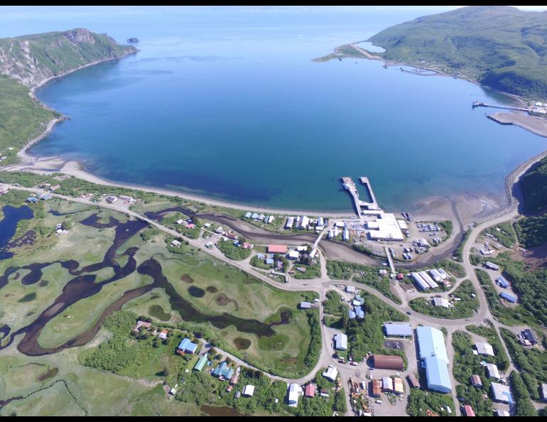
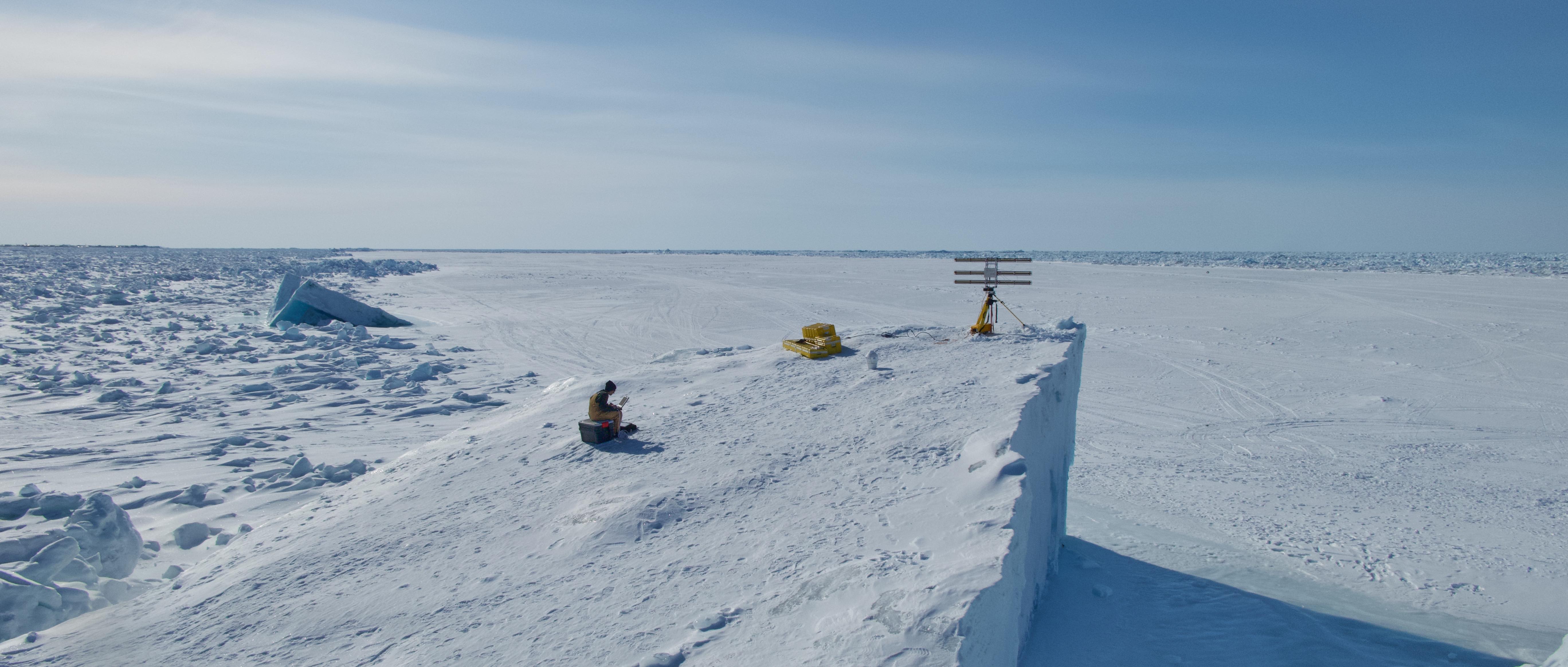
New method of monitoring shore ice could improve public safety
Research reveals geologic history of critical Alaska graphite deposit
Paleomagnetism aids research on the Northern Hemisphere Glaciation
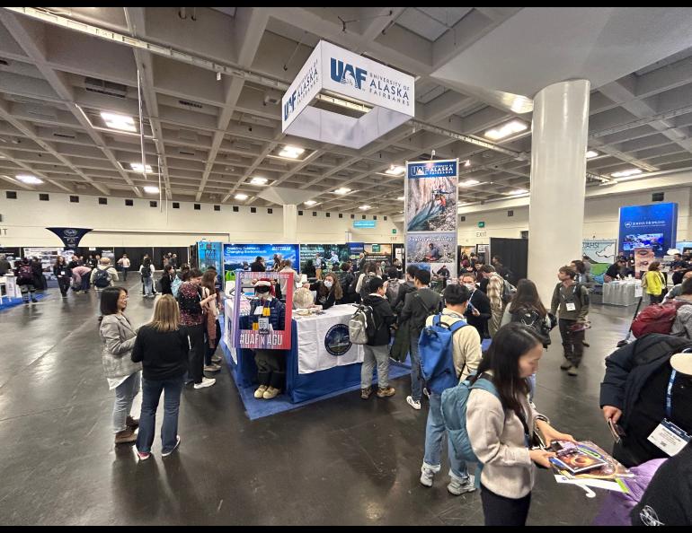
Geophysical Institute research on display at European science meeting
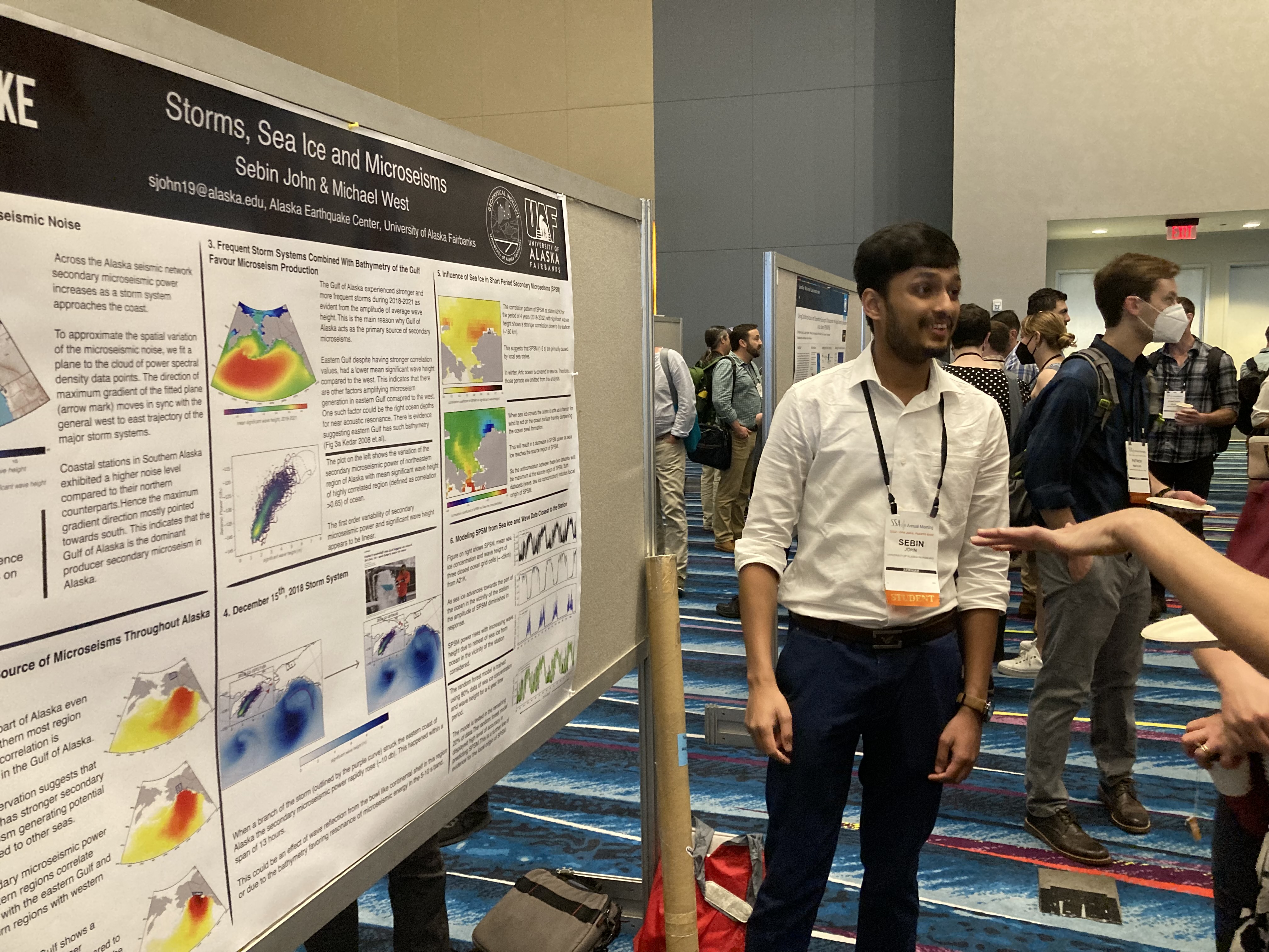
UAF researchers show work at Seismological Society of America meeting
Scientists find novel way to aid earthquake magnitude determination
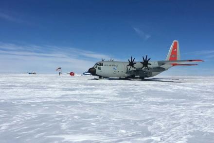
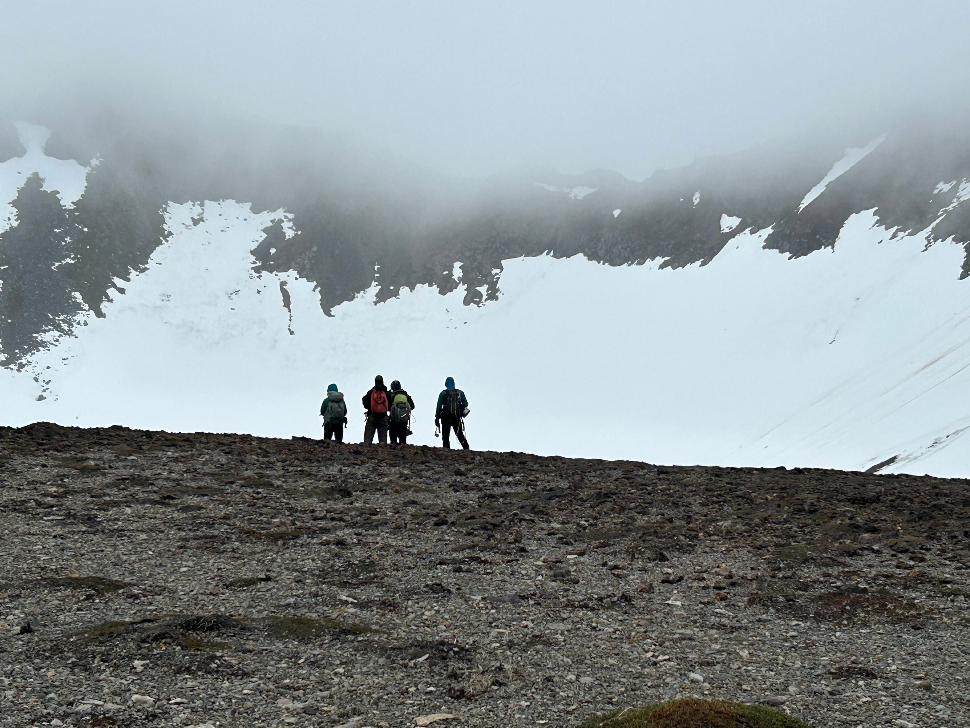
UAF scientists to hunt for clues about Arctic Ocean glaciation
International science team explores gassing of Mt. Edgecumbe volcano
Research reveals sources of CO2 from Aleutian-Alaska Arc volcanoes
Polar Aeronomy and Radio Science Summer School returns to HAARP
New analysis finds real, though rare, tsunami threat to upper Cook Inlet
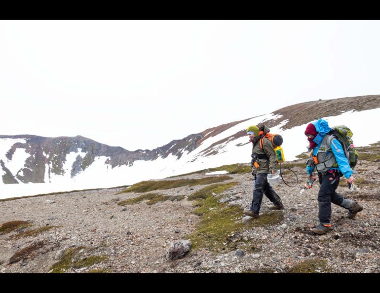
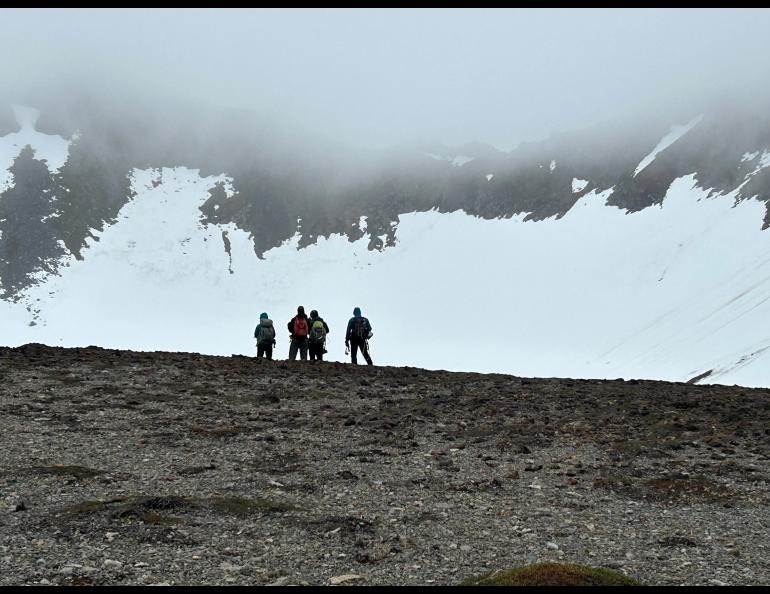
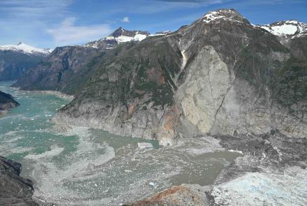
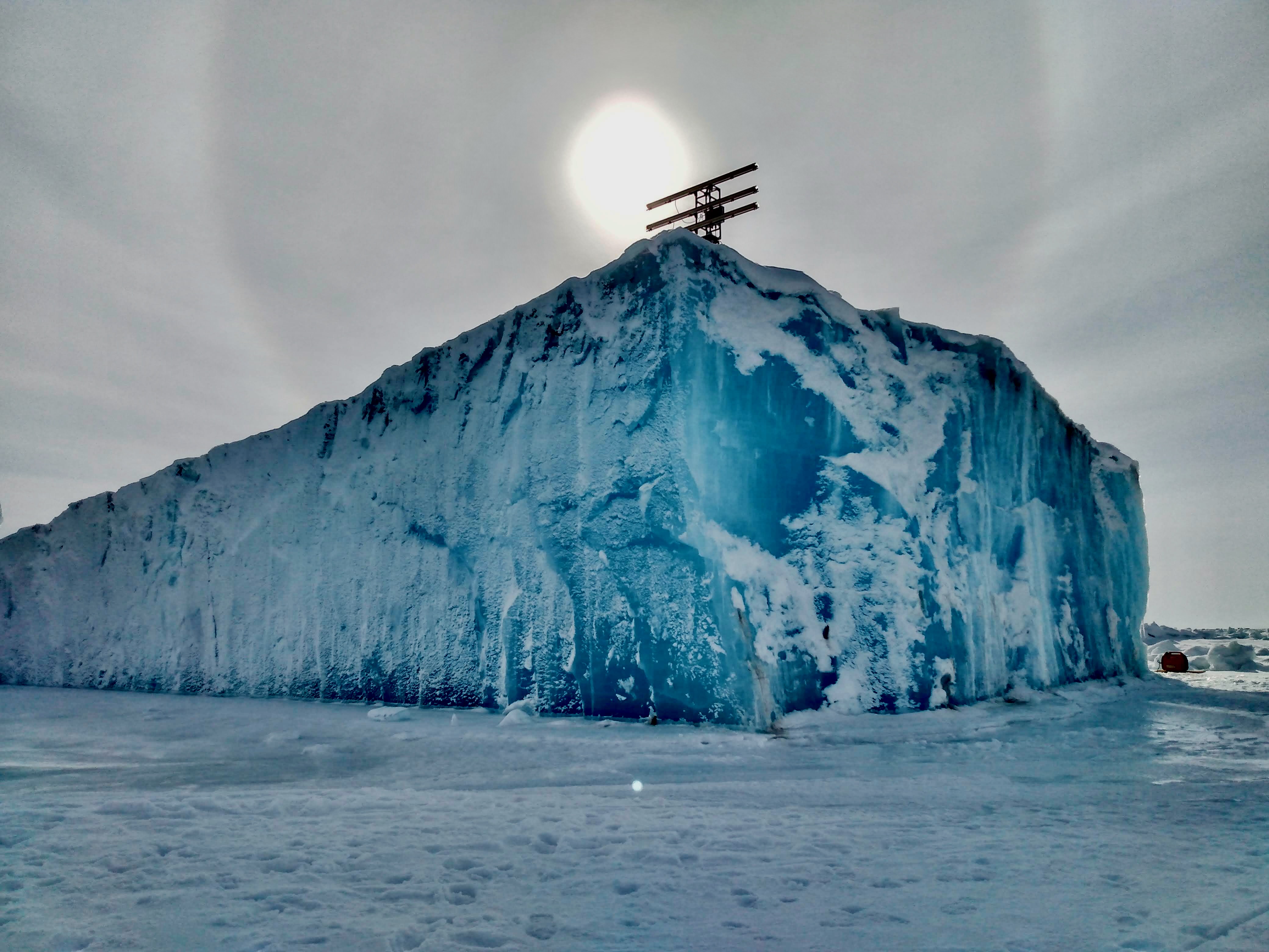
UAF scientists heading to Greenland for glacier research, museum project
New research explains “Atlantification” of the Arctic Ocean
Beaver activity in the Arctic increases emission of methane greenhouse gas
First seismic network installed on Mount Edgecumbe volcano
ACUASI completes first drone flight from Nenana to Fairbanks International Airport
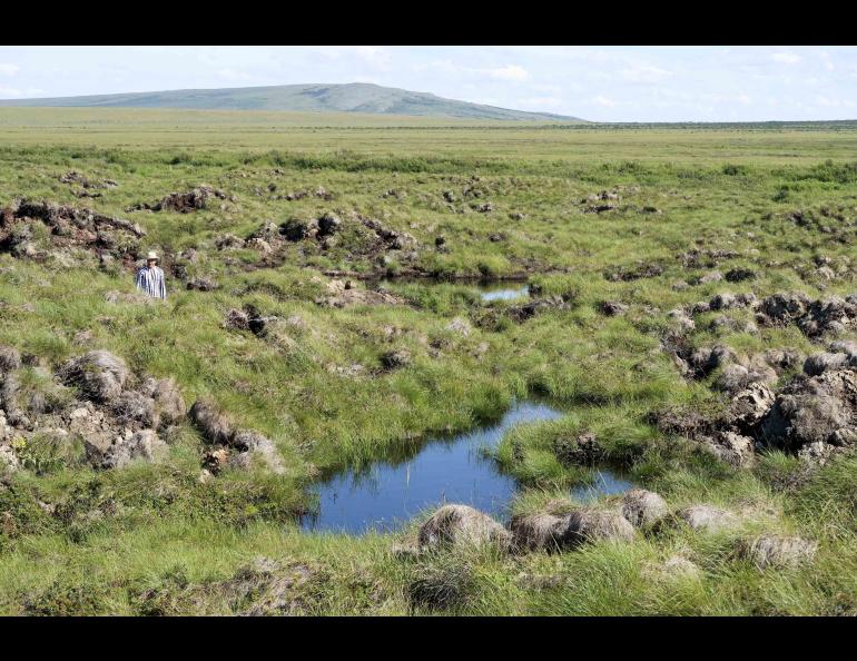
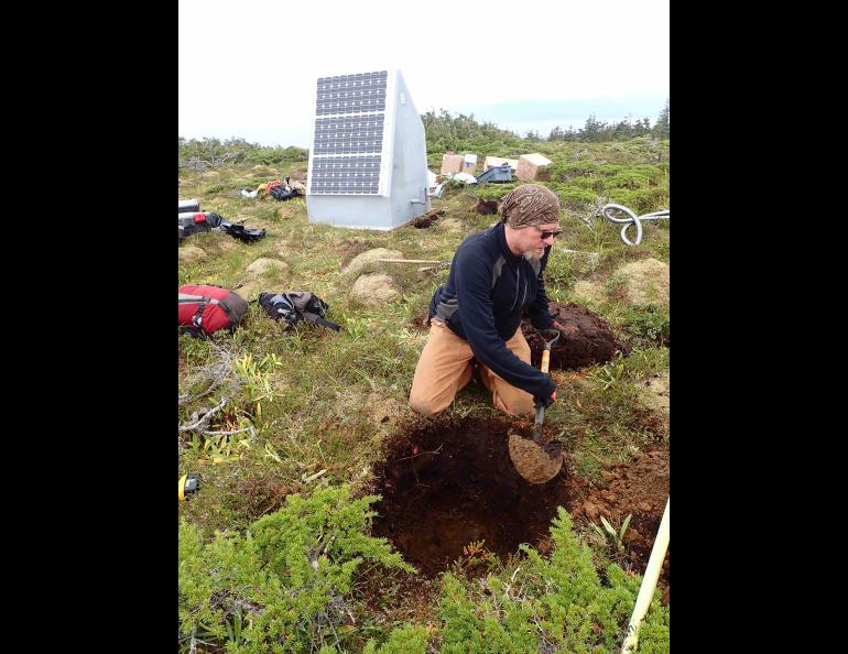
Study: Near-surface permafrost will be nearly gone by 2100
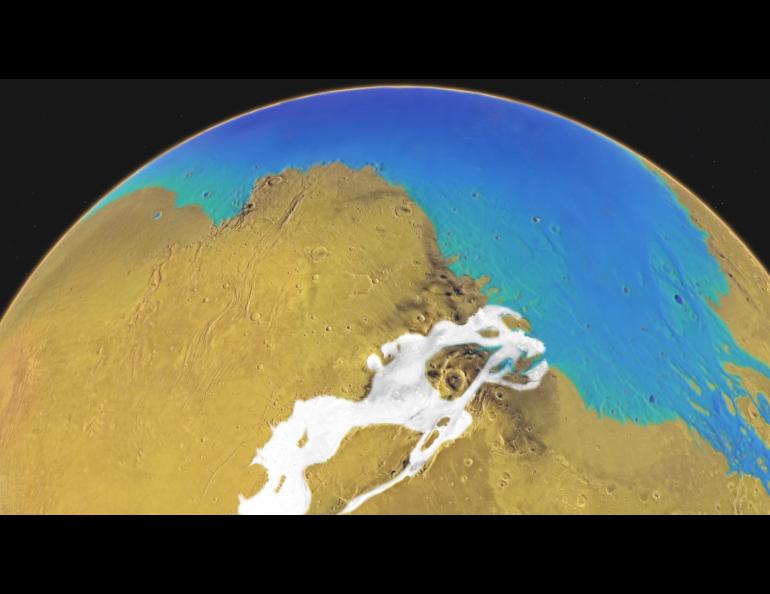
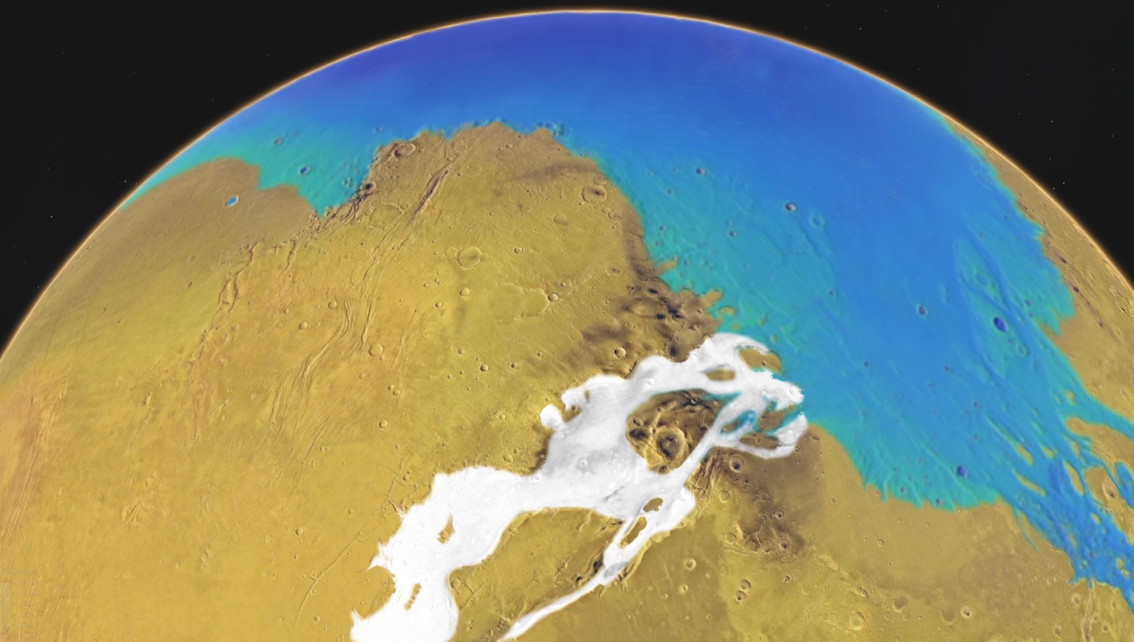
New Mars gravity analysis improves understanding of possible ancient ocean
UAF-led group gets $13.9 million to aid coastal climate resilience
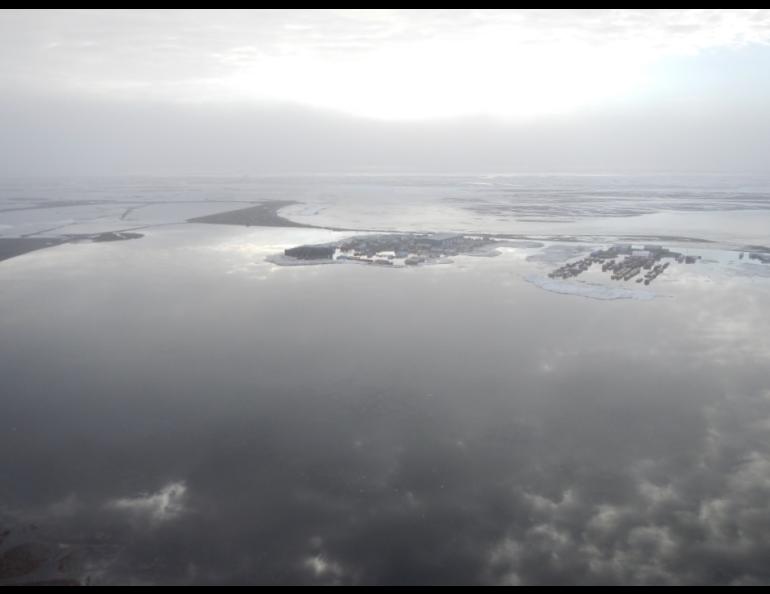
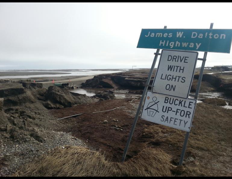
Flooding that closed Dalton Highway also caused widespread ground sinking
UAF scientist to aid NASA’s space weather forecasting
UAF scientists receive grant to improve study of rising sea levels
HAARP artificial airglow may be widely visible in Alaska
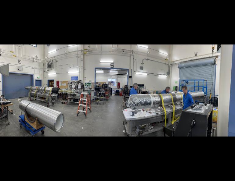
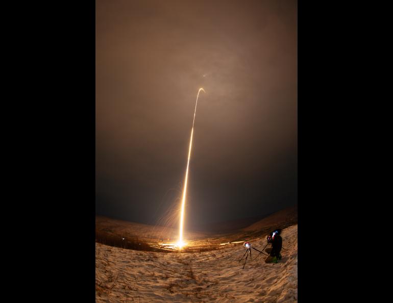
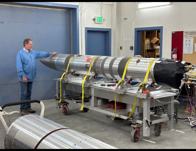
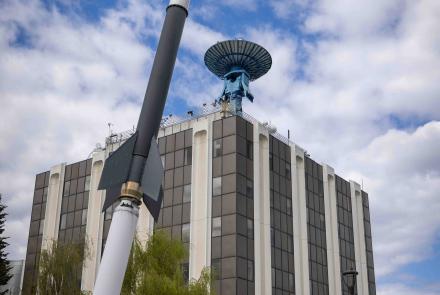
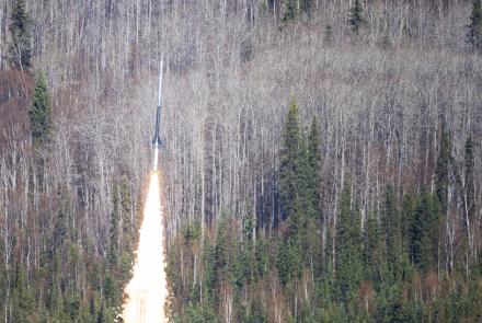
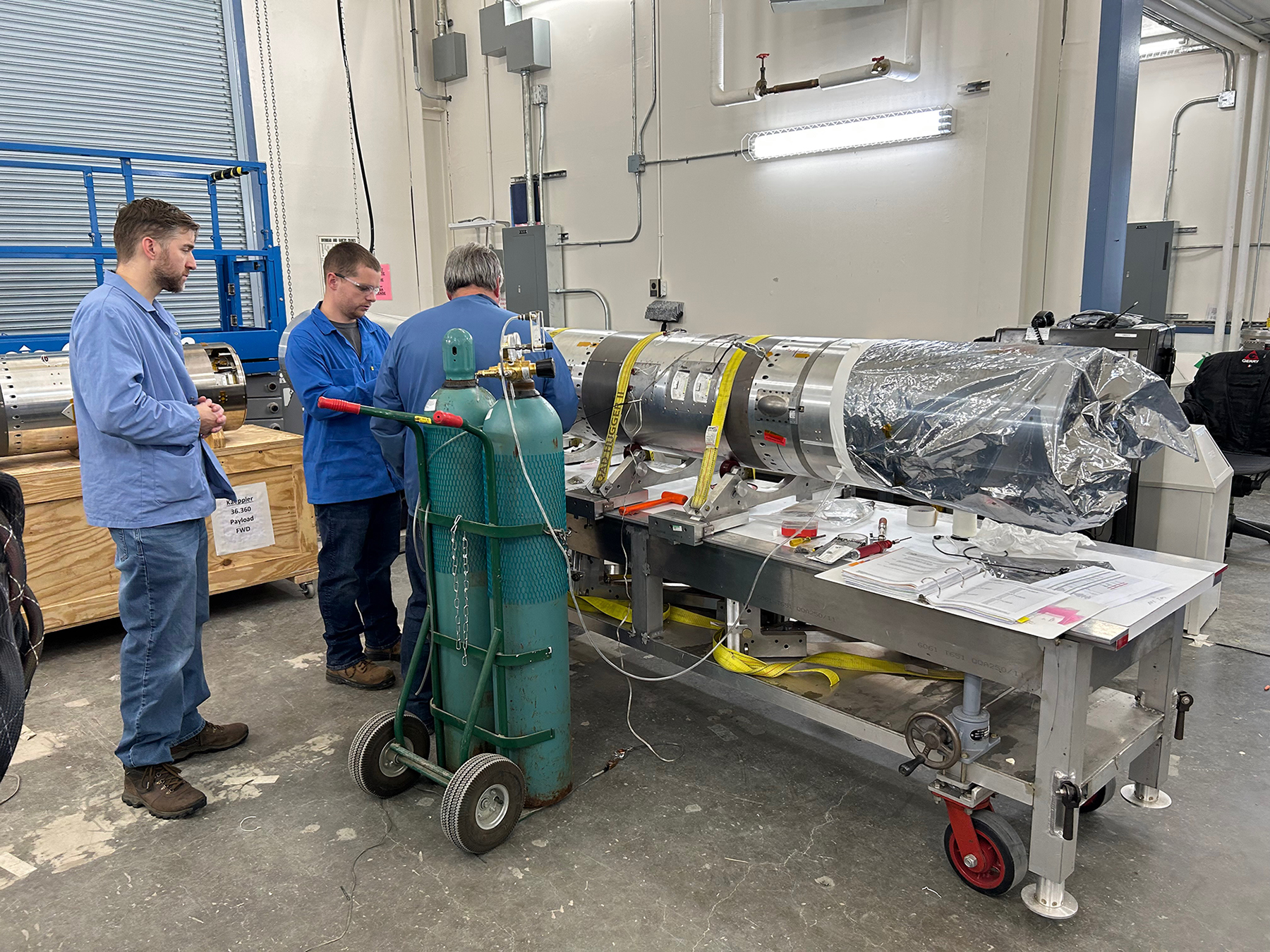
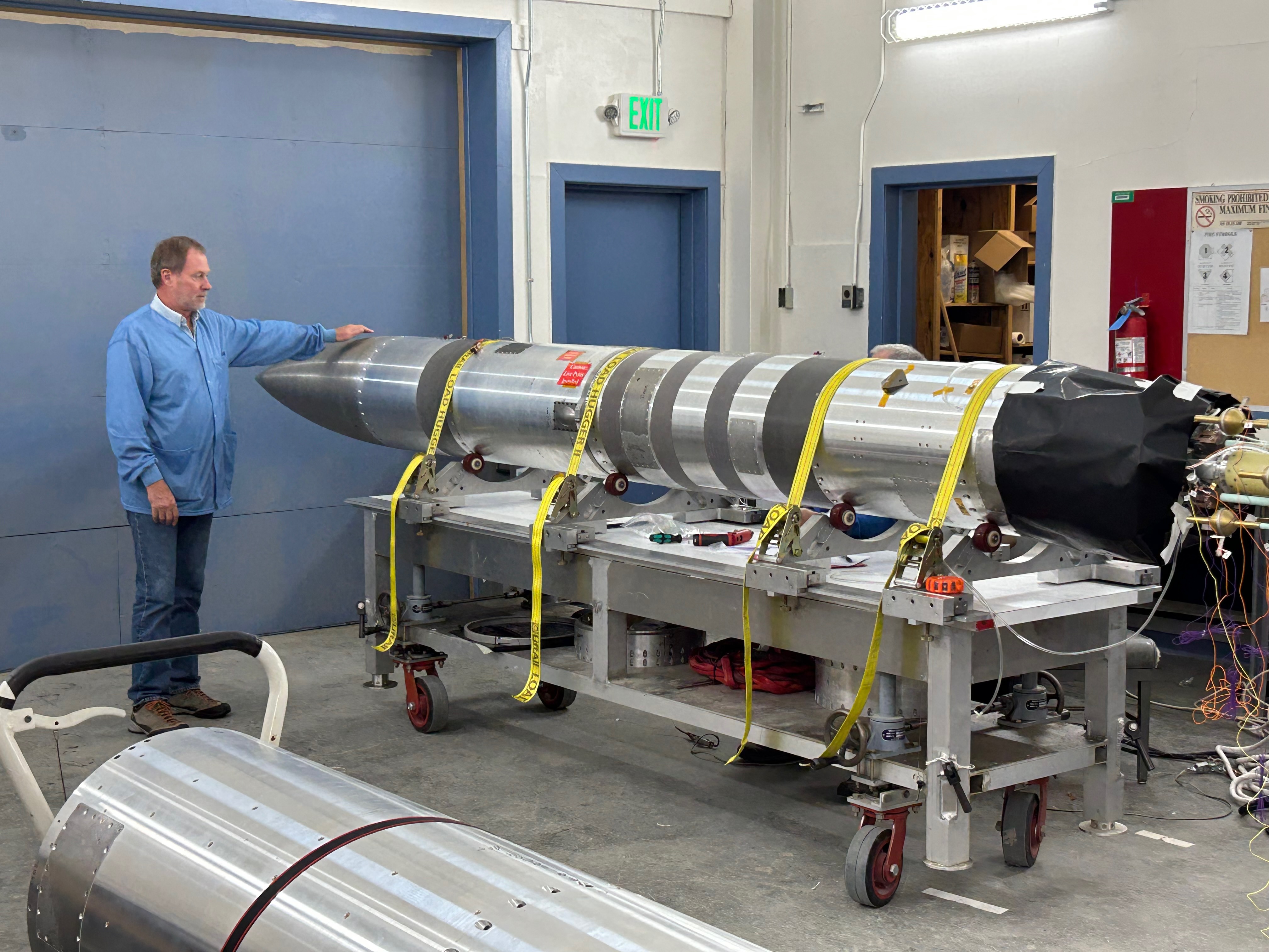
Two launches to mark start of Poker Flat rocket range season
First NASA rocket of season flies high out of Poker Flat Research Range
Second NASA sounding rocket launches from Poker Flat Research Range
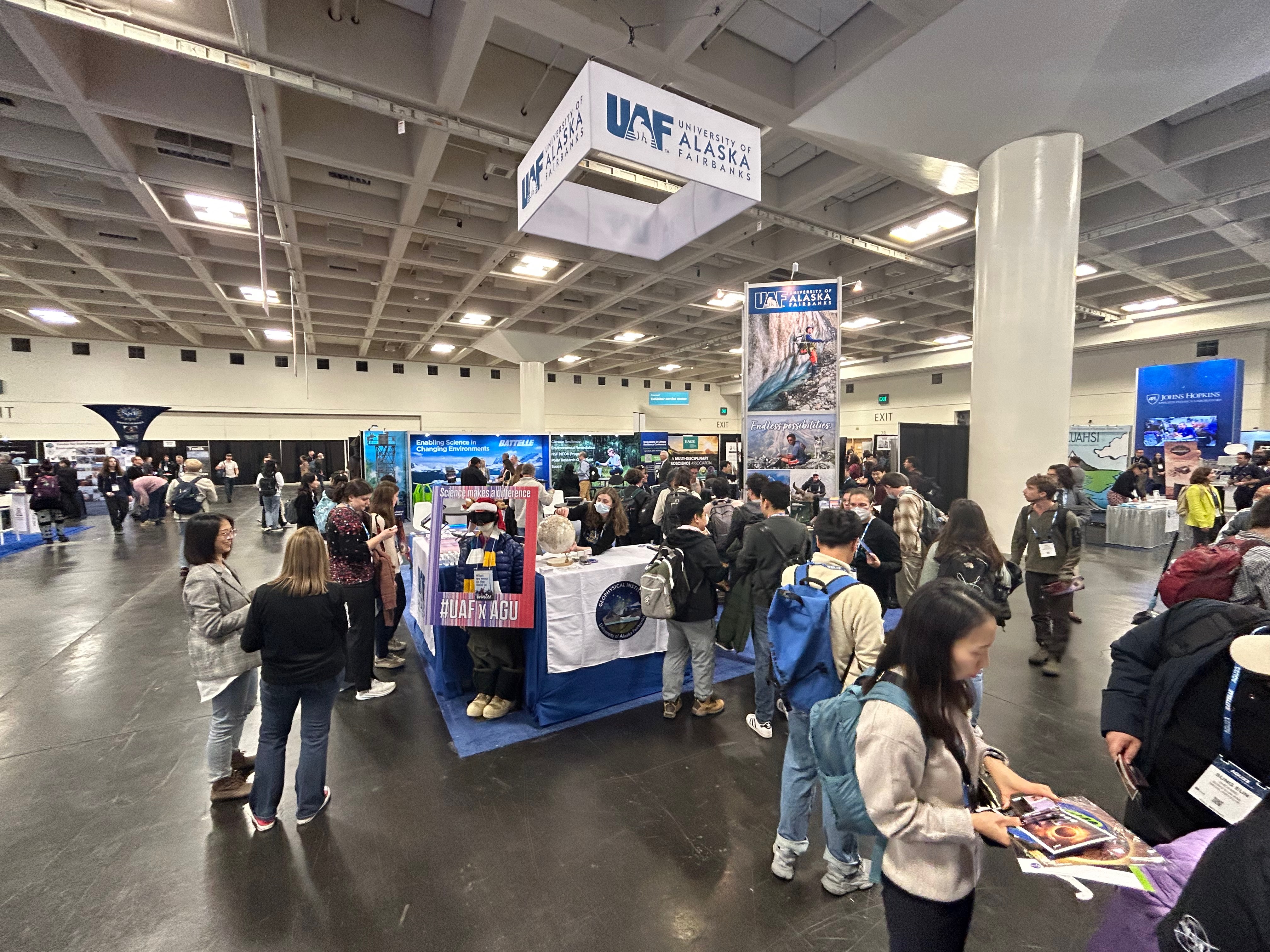
More than 100 UAF researchers presenting work at national science conference
• Rod Boyce, University of Alaska Fairbanks Geophysical Institute, 907-474-7185, rcboyce@alaska.edu