Skip to main content
Shop
Donate
UA Directory
Intranet
Quick Links
Geophysical Institute
Main navigation
Home
About
Contact Information
Contact
UAF Directory
Visitor Information
About the GI
Community
GI Publications
Timeline
GI Quarterly
People
Leadership
Researchers
Graduate Student Researchers
Emeriti
Research
Atmospheric Sciences
Remote Sensing
Seismology & Geodesy
Snow, Ice & Permafrost
Space Physics & Aeronomy
Tectonics & Sedimentation
Volcanology
Facilities & Labs
Services
Design & Printing
GI Human Resources
Education Outreach
Instrument Development
Keith B. Mather Library
Research Computing Systems
News & Info
News
Alaska Science Forum
Alaska Science Pod
Science for Alaska
Aurora Forecast
Visitor Information & Tours
Events
Community
Student Info
Intranet
Search
Breadcrumb
Home
/
News
Filter By Year
- Any -
2026
2025
2024
2023
2022
2021
2020
2019
2018
2017
2016
2015
2014
2013
2012
2011
2010
Article Type
- Any -
Read
Explore
Research Group
- Any -
Atmospheric Sciences
Remote Sensing
Seismology & Geodesy
Snow, Ice & Permafrost
Space Physics & Aeronomy
Tectonics & Sedimentation
Volcanology
Facility/Lab
- Any -
Alaska Center for Unmanned Aircraft Systems Integration (ACUASI)
Alaska Climate Research Center (ACRC)
Alaska Critical Minerals Collaborative (ACMC)
Alaska Earthquake Center (AEC)
Alaska Satellite Facility (ASF)
Alaska Space Grant Program (ASGP)
Alaska Volcano Observatory (AVO)
Advanced Instrumentation Laboratory (AIL)
Arctic Coastal Geoscience Lab (ACGL)
College International Geophysical Observatory (CIGO)
Geochronology Laboratory (Geochron Lab)
Geographic Information Network of Alaska (GINA)
Geophysical Institute Permafrost Laboratory (GIPL)
High-frequency Active Auroral Research Program (HAARP)
Hyperspectral Imaging Laboratory (HyLab)
Poker Flat Research Range (PFRR)
Wilson Alaska Technical Center (WATC)
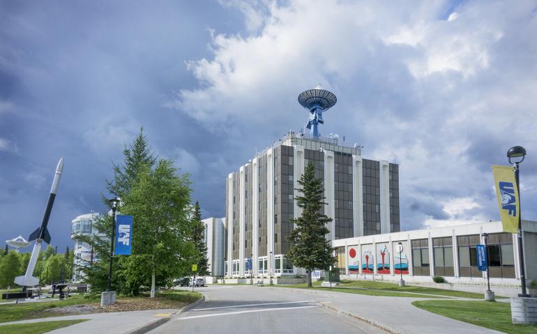
GI hosts free outdoor walking tour
July 15, 2020
Looking for something to do outside while you socially distance? Since inside tours of the Geophysical Institute are temporarily suspended due to...
Read more
GI's Mike West, David Fee discuss tsunami on Sen. Murkowski’s podcast
June 18, 2020
Senator Lisa Murkowski, chairman of the U.S. Senate Energy and Natural Resources Committee, last week recorded the sixth episode of her new...
Read more
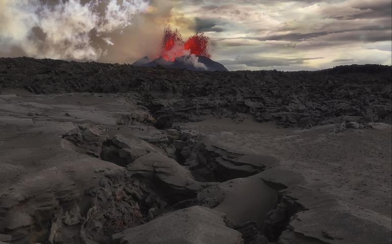
New method may help anticipate large volcanic eruptions
May 18, 2020
Volcanic eruptions are not easy to anticipate. Now, a new paper proposes a way to provide early clues by evaluating magma movement far beneath...
Read more
Geophysical Institute director joins space research board
May 11, 2020
Robert McCoy, director of the Geophysical Institute at UAF, was elected to the governing board of USRA, the Universities Space Research...
Read more
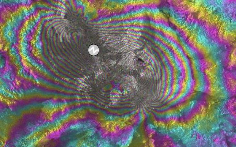
Online tool allows fast, free natural-hazard visualization
April 29, 2020
Volcanoes can pulse and inflate before they erupt. Earthquakes can tear the ground along fault lines like a losing raffle ticket. Satellites can...
Read more
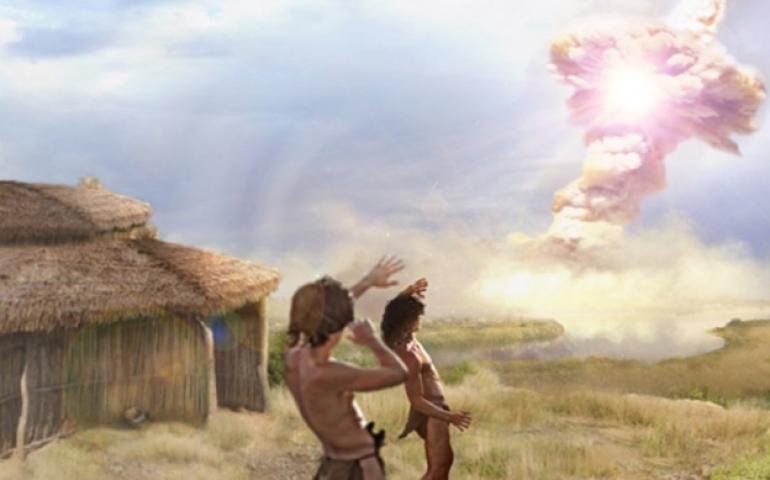
Fire and ice: exploding comet may have destroyed paleolithic settlement
April 6, 2020
New analysis of materials from an archeological site in Syria suggests it may be the only human settlement we know about that was destroyed by...
Read more
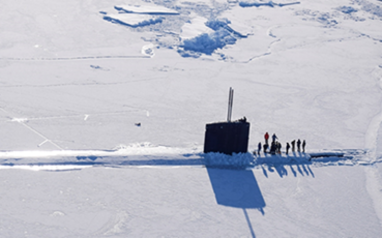
UAF scientists lend expertise to Navy’s arctic ice camp
March 6, 2020
University of Alaska Fairbanks scientists are providing strategic ice and weather expertise to the U.S. Navy during its Ice Exercise 2020 in the...
Read more
Cryospheric Science MVP
February 26, 2020
Andy Aschwanden received 2020’s Most Valuable Player award from the NASA Cryospheric Science Program last week. The award was in recognition of...
Read more
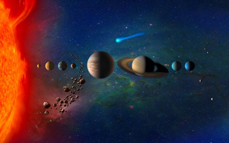
Venus study is finalist in NASA’s Discovery Program
February 18, 2020
Venus was once Earth-like and maybe even habitable. Why is it so different from Earth now? This week NASA announced its selection of four...
Read more
Load More