Skip to main content
Shop
Donate
UA Directory
Intranet
Quick Links
Geophysical Institute
Main navigation
Home
About
Contact Information
Contact
UAF Directory
Visitor Information
About the GI
Community
GI Publications
Timeline
GI Quarterly
People
Leadership
Researchers
Graduate Student Researchers
Emeriti
Research
Atmospheric Sciences
Remote Sensing
Seismology & Geodesy
Snow, Ice & Permafrost
Space Physics & Aeronomy
Tectonics & Sedimentation
Volcanology
Facilities & Labs
Services
Design & Printing
GI Human Resources
Education Outreach
Instrument Development
Keith B. Mather Library
Research Computing Systems
News & Info
News
Alaska Science Forum
Alaska Science Pod
Science for Alaska
Aurora Forecast
Visitor Information & Tours
Events
Community
Student Info
Intranet
Search
Breadcrumb
Home
/
News
Filter By Year
- Any -
2026
2025
2024
2023
2022
2021
2020
2019
2018
2017
2016
2015
2014
2013
2012
2011
2010
Article Type
- Any -
Read
Explore
Research Group
- Any -
Atmospheric Sciences
Remote Sensing
Seismology & Geodesy
Snow, Ice & Permafrost
Space Physics & Aeronomy
Tectonics & Sedimentation
Volcanology
Facility/Lab
- Any -
Alaska Center for Unmanned Aircraft Systems Integration (ACUASI)
Arctic and Homeland Defense Center University Affiliated Research Center (AHDC UARC)
Alaska Climate Research Center (ACRC)
Alaska Critical Minerals Collaborative (ACMC)
Alaska Earthquake Center (AEC)
Alaska Satellite Facility (ASF)
Alaska Space Grant Program (ASGP)
Alaska Volcano Observatory (AVO)
Advanced Instrumentation Laboratory (AIL)
Arctic Coastal Geoscience Lab (ACGL)
College International Geophysical Observatory (CIGO)
Geochronology Laboratory (Geochron Lab)
Geographic Information Network of Alaska (GINA)
Geophysical Institute Permafrost Laboratory (GIPL)
High-frequency Active Auroral Research Program (HAARP)
Hyperspectral Imaging Laboratory (HyLab)
Poker Flat Research Range (PFRR)
Wilson Alaska Technical Center (WATC)
Geophysical Institute director joins space research board
May 11, 2020
Robert McCoy, director of the Geophysical Institute at UAF, was elected to the governing board of USRA, the Universities Space Research...
Read more
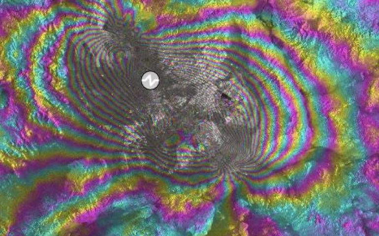
Online tool allows fast, free natural-hazard visualization
April 29, 2020
Volcanoes can pulse and inflate before they erupt. Earthquakes can tear the ground along fault lines like a losing raffle ticket. Satellites can...
Read more
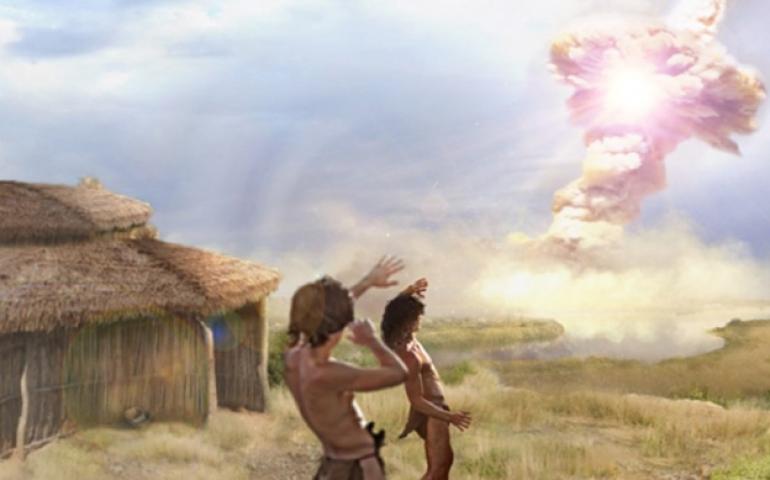
Fire and ice: exploding comet may have destroyed paleolithic settlement
April 6, 2020
New analysis of materials from an archeological site in Syria suggests it may be the only human settlement we know about that was destroyed by...
Read more
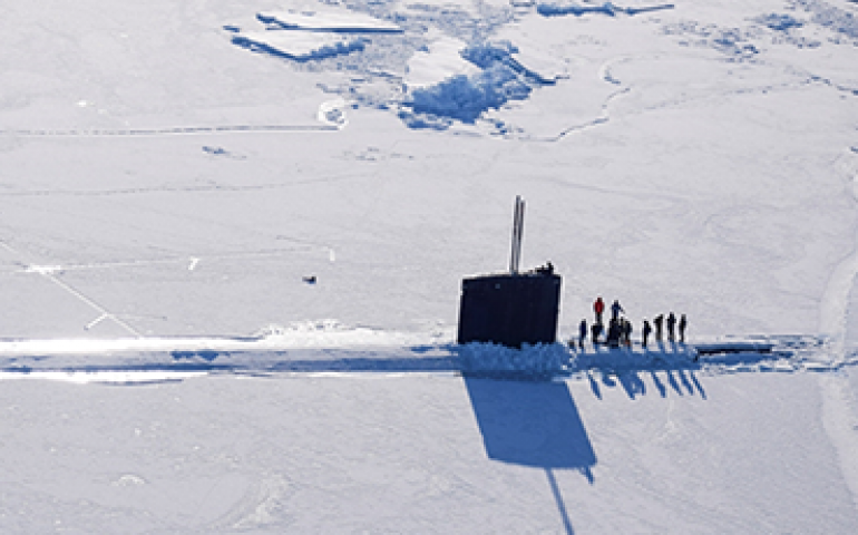
UAF scientists lend expertise to Navy’s arctic ice camp
March 6, 2020
University of Alaska Fairbanks scientists are providing strategic ice and weather expertise to the U.S. Navy during its Ice Exercise 2020 in the...
Read more
Cryospheric Science MVP
February 26, 2020
Andy Aschwanden received 2020’s Most Valuable Player award from the NASA Cryospheric Science Program last week. The award was in recognition of...
Read more
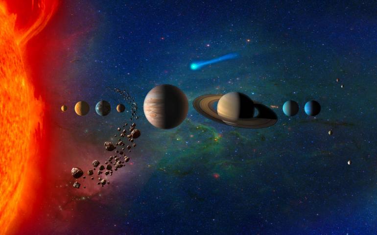
Venus study is finalist in NASA’s Discovery Program
February 18, 2020
Venus was once Earth-like and maybe even habitable. Why is it so different from Earth now? This week NASA announced its selection of four...
Read more
"AVO Radio" to bring volcano updates to the airwaves
February 5, 2020
Some Alaskans have the dubious distinction of a volcano practically in their backyard, across the water or upwind. Now, a new radio program will...
Read more
NASA sounding rocket launches from Poker Flat
January 29, 2020
A NASA sounding rocket launched from Poker Flat Research Range north of Fairbanks at 4:40 a.m. on Jan. 27, 2020. The rocket arced to a high point...
Read more
Space Week features rocket launch window and NASA experts
January 22, 2020
An unofficial Space Week, filled with space science events, rocket launch preparations and presentations by NASA guests, will blast off in...
Read more
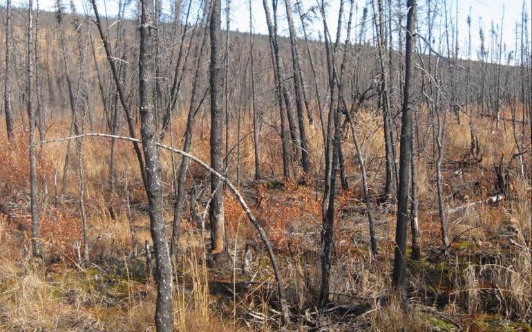
Wildfires may send permafrost protections up in smoke
January 8, 2020
Across much of Alaska, permafrost is thawing. In most locations of interior and south Alaska, what permafrost exists is protected by the...
Read more
The Arctic’s grand reveal
December 12, 2019
“This green line looks like the death of permafrost — it’s flatlining,” Louise Farquharson said to an audience of a few dozen scientists. Her...
Read more
Permanent Arctic research facility under discussion
November 15, 2019
The logistics of doing research in the Arctic are challenging and complex. Travelling hundreds of miles through tundra, sometimes in temperatures...
Read more
International climate report holds special value for Alaska
October 28, 2019
Authors of the latest report from the Intergovernmental Panel on Climate Change, or IPCC, delivered a stunning alarm bell for our planet's oceans...
Read more
“Infrasound angels” recognized by Wilson Alaska Technical Center
October 14, 2019
Much of scientific work depends on quiet supporters; people working reliably in the background to make sure the operation runs smoothly. This...
Read more
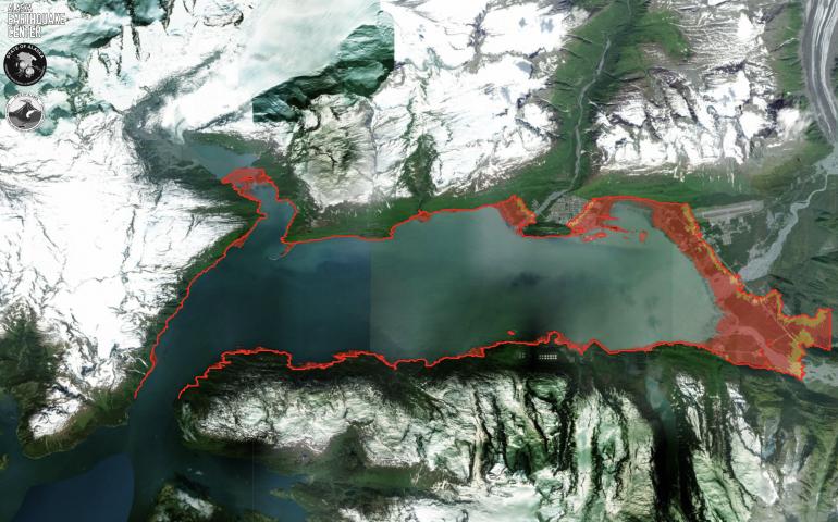
New tsunami map tool empowers Alaskans to plan for the worst
September 17, 2019
September is national preparedness month and, for many Alaskans, that means thinking about tsunamis. With the most earthquakes and the longest...
Read more
The first day of the dinosaur extinction
September 9, 2019
When the asteroid that wiped out the dinosaurs slammed into the planet 66 million years ago, the impact set wildfires, triggered tsunamis and...
Read more
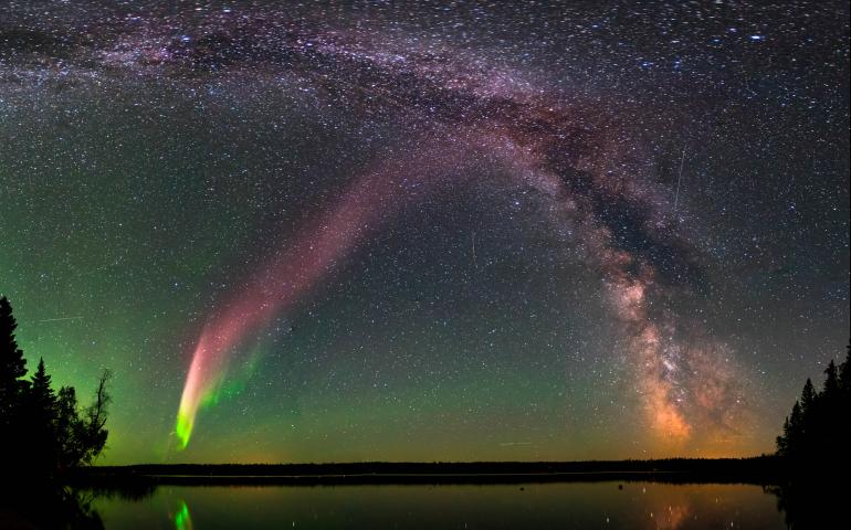
It’s not aurora, it’s STEVE
September 4, 2019
Aurora-watchers gazing at spectacular displays over the Labor Day weekend may have been seeing more than the northern lights. They may have been...
Read more
UAF announces 2019 Usibelli Award recipients
August 29, 2019
The University of Alaska Fairbanks has announced the winners of the 2019 Emil Usibelli Distinguished Teaching, Service and Research Awards. The...
Read more
Pagination
Previous page
←
Previous
First page
1
Page
17
Page
18
Page
19
Page
20
Current page
21
Page
22
Page
23
Page
24
Page
25
Last page
31
Next page
Next
→