Plate to Plate: Rupture of the Great Alaska Earthquake
(Located in the Bunnell Building, 323 Tanana Loop. Nearby parking: Bunnell Building, Bursar's Office, and Usibelli Building. Parking is always free after 5 p.m. )

Postdoctoral fellow
UAF - Geophysical Institute
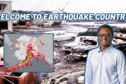
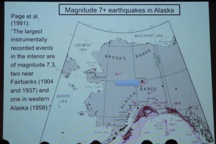
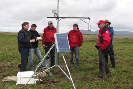
The 1964 magnitude 9.2 Great Alaska Earthquake ruptured an area approximately 92,000 square miles from Anchorage to Kodiak Island and caused massive landslides and tsunamis. In 2019, we deployed a dense array of 398 portable seismometers on Kodiak Island within the southern rupture area of the 1964 earthquake to image the boundary between the subducting Pacific Plate and the base of the North American Plate. The research found significant differences between the northern and southern rupture zones.
Join us to learn about the analysis of seismic waves recorded by these small soup can-sized seismometers, how and why the results differ from the northern rupture area of the Great Alaska Earthquake, and implications for rupture dynamics in the region.
Want to join virtually instead? Register on Zoom: https://bit.ly/3Xl92ZR
Learn more about Science for Alaska talks: https://www.gi.alaska.edu/events/science-for-alaska
Science for Alaska
2026


2025

2024

2023


2022


2021


2020


2019


2018


2017


2016
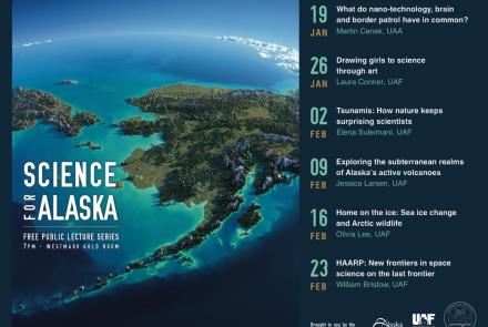


2015


2014

2013
2012


2011


2010

2009