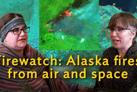
Firewatch: Fire landscapes from air and space
Date and Time:
Location:
-
RSVP on Zoom (https://bit.ly/3iMGjd4) or watch live on the UAF or Geophysical Institute Facebook pages.
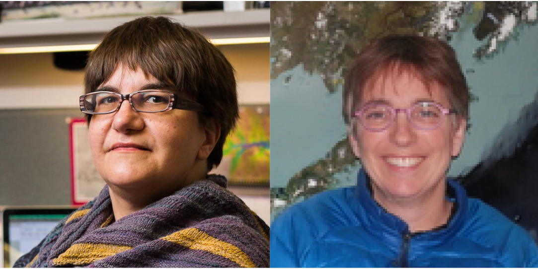
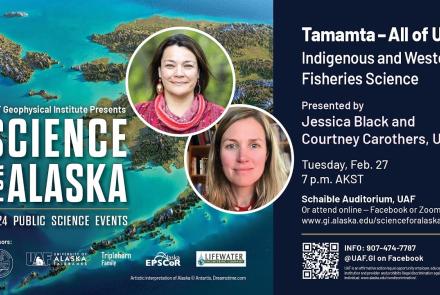
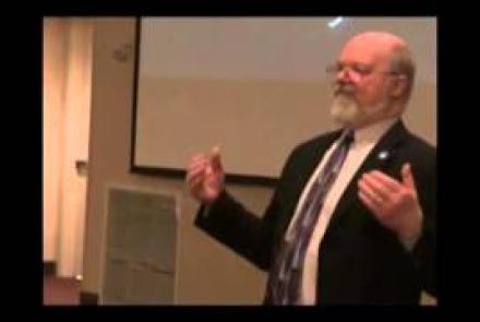
Christine Waigl and Jennifer Delamere
Postdoctoral Researcher (Waigl), Research Associate Professor (Delamere)
UAF-GI
Postdoctoral Researcher (Waigl), Research Associate Professor (Delamere)
UAF-GI
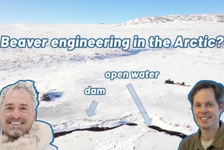
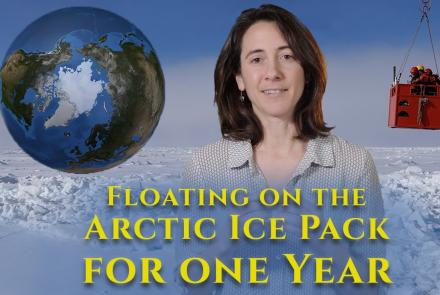
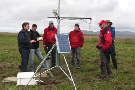
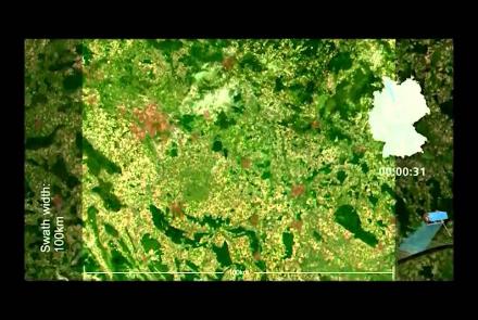
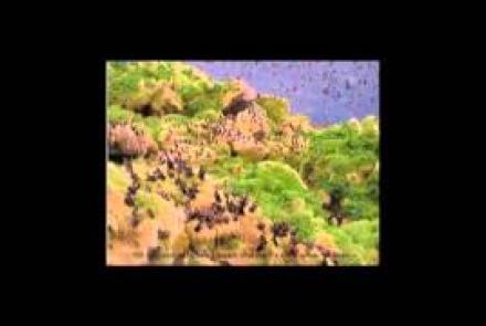
Many of Alaska's forest and tundra landscapes are fire-prone, as residents can observe during each warm and dry summer. Alaska scientists and fire managers use satellite imagery and aerial photography to better understand the conditions that lead to wildfire outbreaks and to keep local communities safe. Ultimately, this understanding helps fire managers plan for the future in a changing climate. Join us for an unparalleled view of Alaska from above and discover how scientists use remote sensing imagery to measure burnable vegetation, detect and transmit data on active fires to managers on the ground, and monitor the landscape after the blaze has passed.
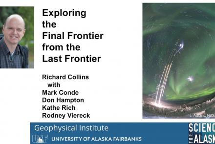
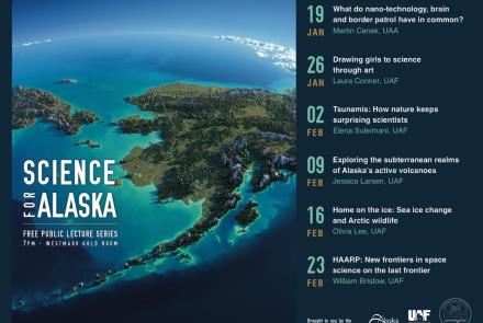
Science for Alaska
2026


2025

2024
2023

2022
2021
2020
2019
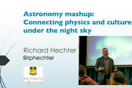
2018


2017


2016


2015

2014
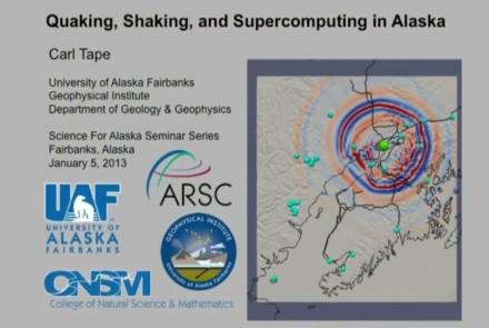
2013
2012

2011
2010

2009